
21 km loop starting from Bettenfeld in the German Vulkaneifel, through the Mosenberg volcanic group, the Windsborn-Kratersee (the only permanent crater lake north of the Alps), the Hinkelsmaar peat bog and the Lieser valley below the Manderscheid castle ruins and the Burgenklettersteig via ferrata.
Winter was ending, and I was finally crawling out of my cave. A few quiet months behind me, my van giving me longer and longer looks, and then a sunny Friday at the right temperature: that was enough to decide. The original plan was the Vosges, where a few hidden gems still wait to be documented for the site. Then almost by chance I came across a via ferrata in Germany, 200 km from home. A real one, 1 km of cable spread over three sections. For flat countries like ours, that is rare, and that was enough to change plans.
Plan B beat plan A: around the via ferrata, let us see if there are any hikes. And clearly, in the Vulkaneifel, the area does not lack relief. We are not exactly above 3000 m, but it is well worth the detour, and might as well make a full weekend of it.
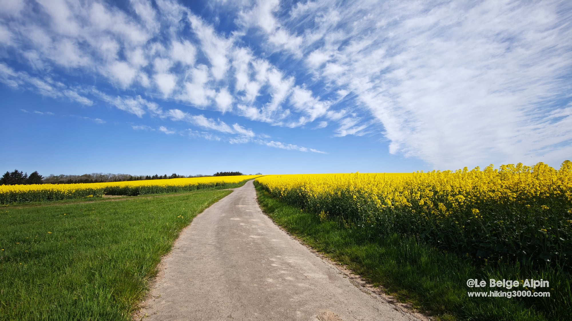
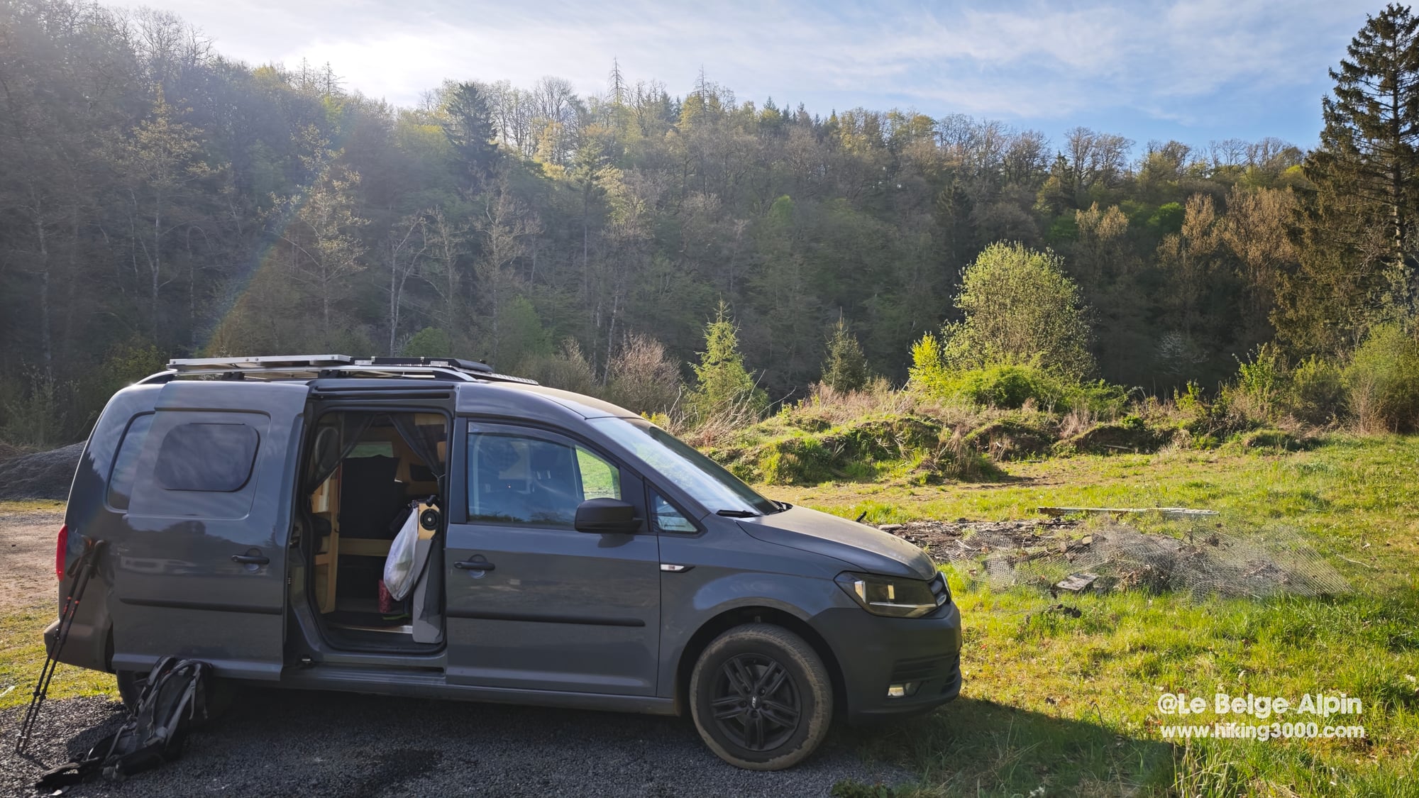
Friday evening, I leave Embourg in the usual chaos of a sunny weekend. Belgian traffic on edge, German border crossed in a sour mood. Then the motorway empties, I leave the fast road, and the scene shifts brutally. Countryside, beech forests, rounded hills, rivers everywhere. Quiet, almost wild, exactly what I needed. I park in the woods for the night and trace my GPS route warm in the van.
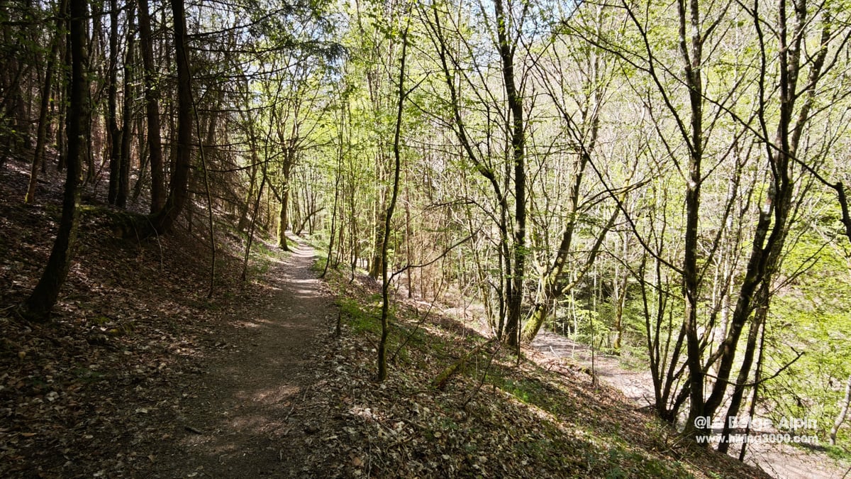
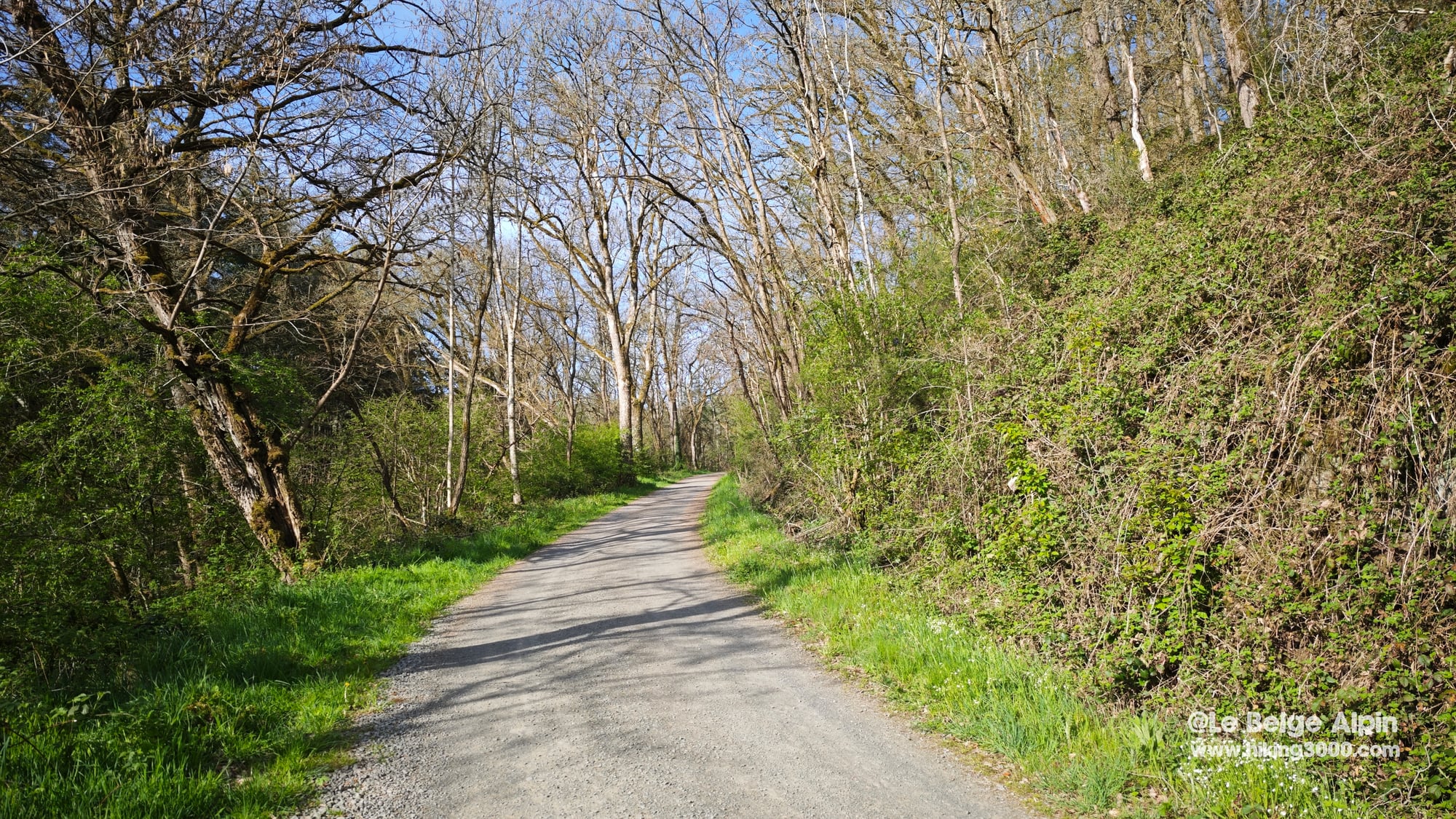
Sharp wake-up the next morning. Daytime temperatures hit 18 degrees but the night dropped to 3 outside, 8 inside the van. No reason to linger. I am on the trail an hour after my coffee, in a T-shirt twenty minutes later. The hike runs without difficulty, clear waymarking, wide trails. I expected to enjoy myself, I did not expect to enjoy myself this much.
Bettenfeld, an unplanned stop in the Vulkaneifel

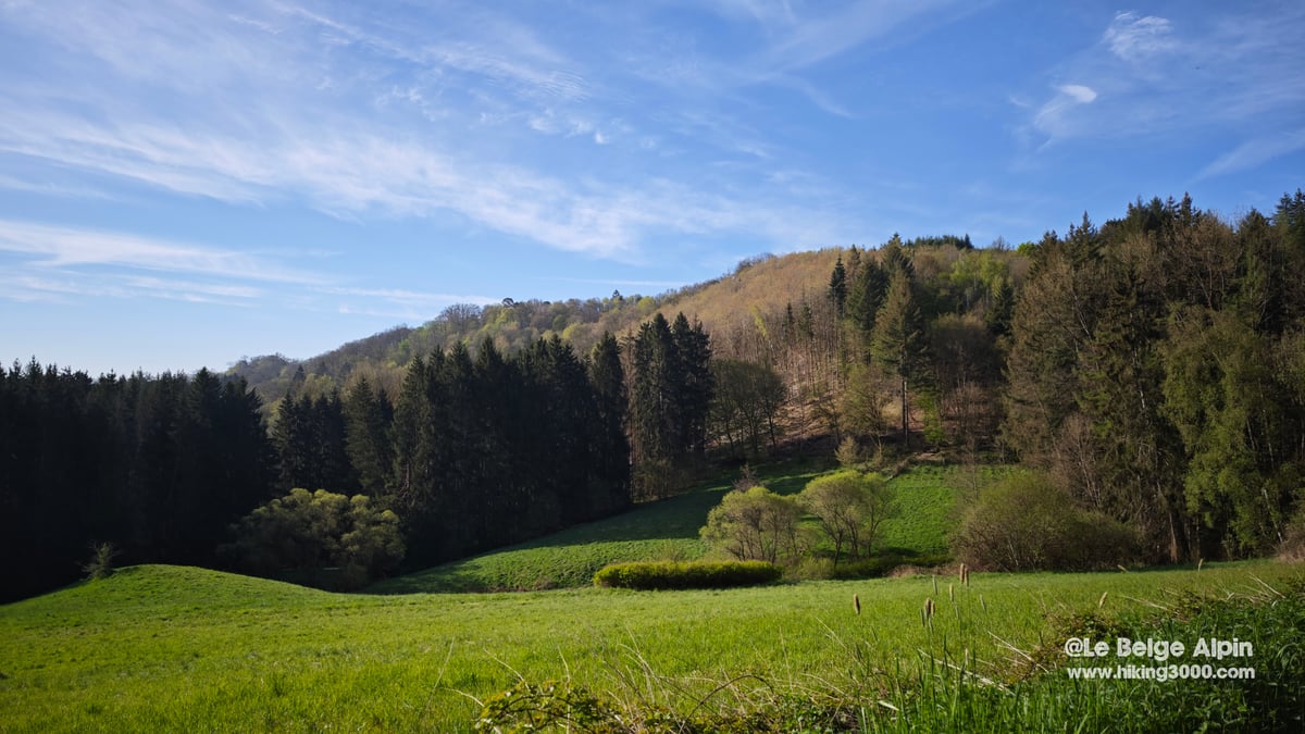
I had heard of the Eifel as low mountain country with no relief, the kind of cliche that sticks to German regions next to the Ardennes. That is wrong. The Vulkaneifel, the eastern sub-region of the Eifel, is in fact a 50 km long volcanic field, geologically young, the most recent Maars erupted about 11,000 years ago. The soil is dark, the slopes steep, and the terrain has that slightly out-of-time quality you find in landscapes of volcanic origin.
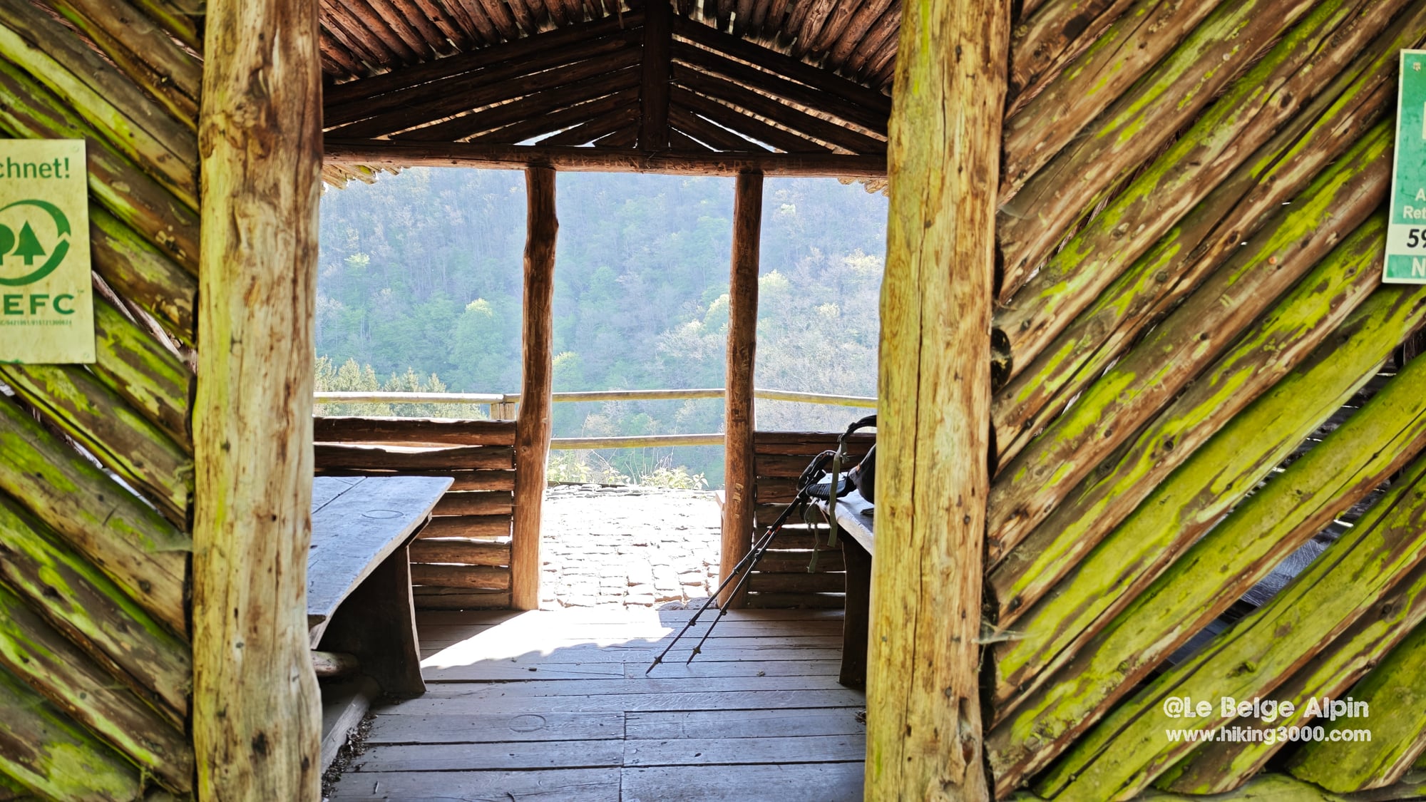
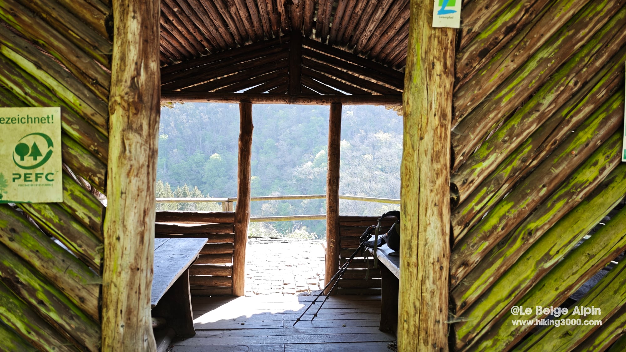
Bettenfeld is a village of a few hundred inhabitants sitting at 485 m, with free parking in the center and waymarked trails leaving in every direction. No tourist gloss, exactly the kind of place where I feel at home. For a sunny Saturday I crossed maybe ten walkers over a 5 hour loop. Compared to the Belgian Ardennes on a Sunday in April, that is almost empty.
The Mosenberg volcanoes and the only crater lake in the Eifel
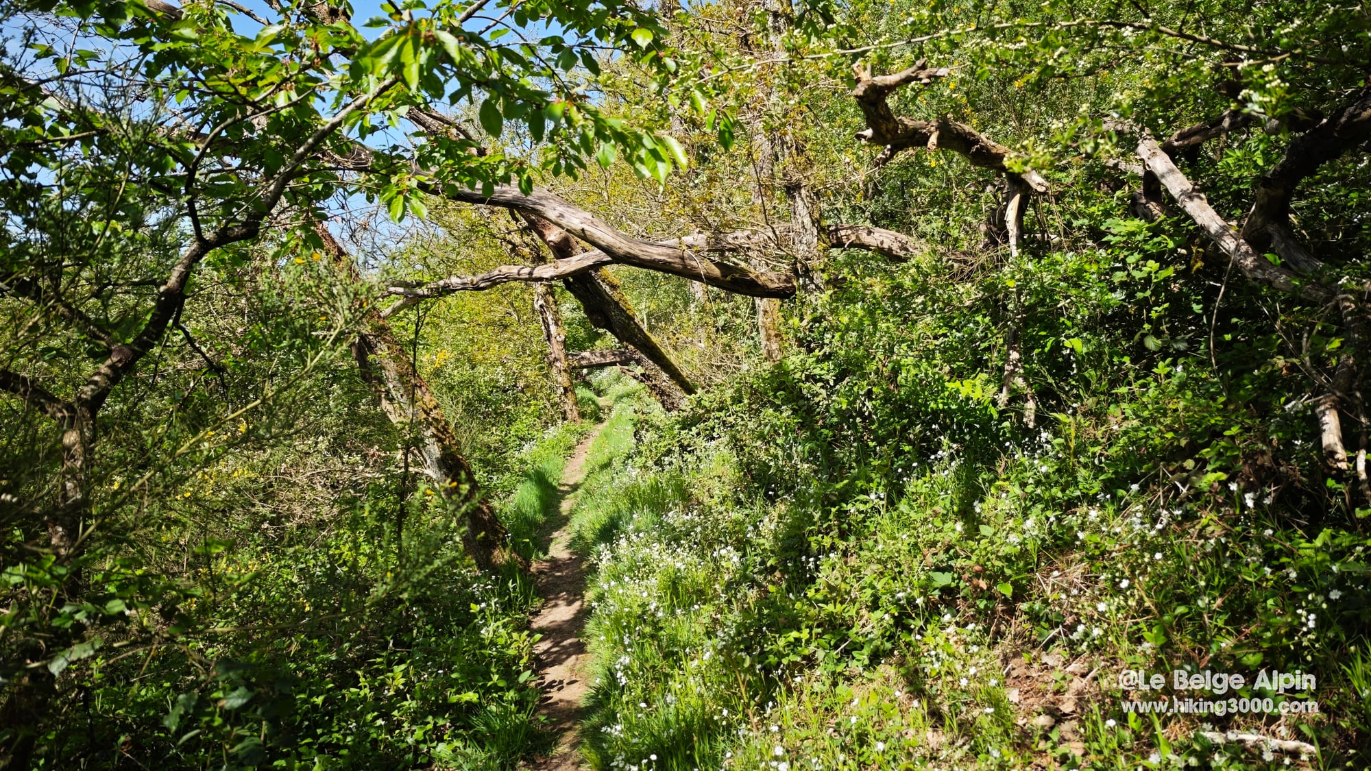
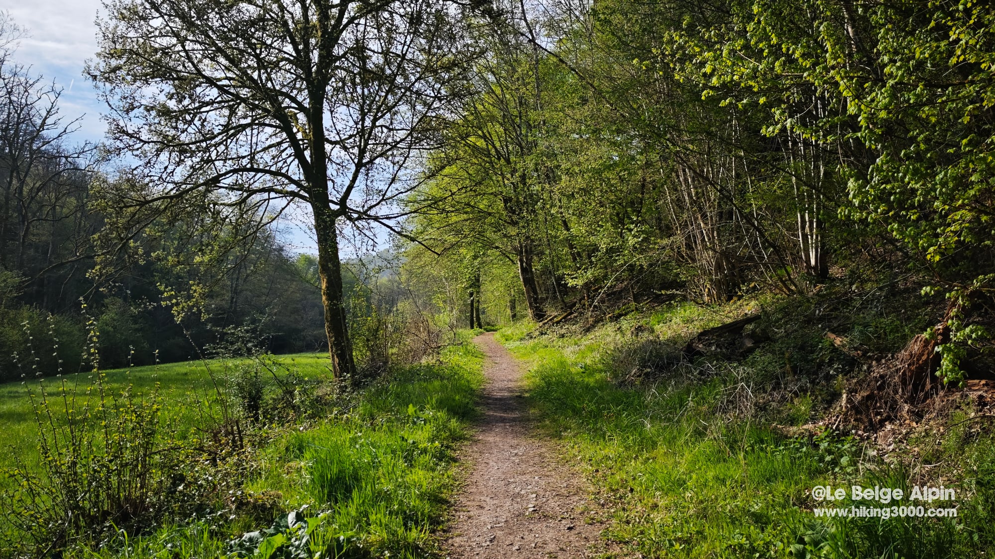
The first half of the loop crosses the Mosenberg volcanic group. Four cones aligned southeast to northwest, all extinct for tens of thousands of years, with a marked trail looping around them. The path climbs steadily through beech forest, then opens onto the rim of the Windsborn crater.
The Windsborn-Kratersee is the quiet attraction of the area: it is the only permanent water-filled crater lake north of the Alps. All the other Maars in the region also hold water, but they are phreatomagmatic explosion craters, not strictly volcanic craters. Here we are on a true volcanic crater lake. The water is calm, brown, lined with peat bogs. No swimming, it is a nature reserve.
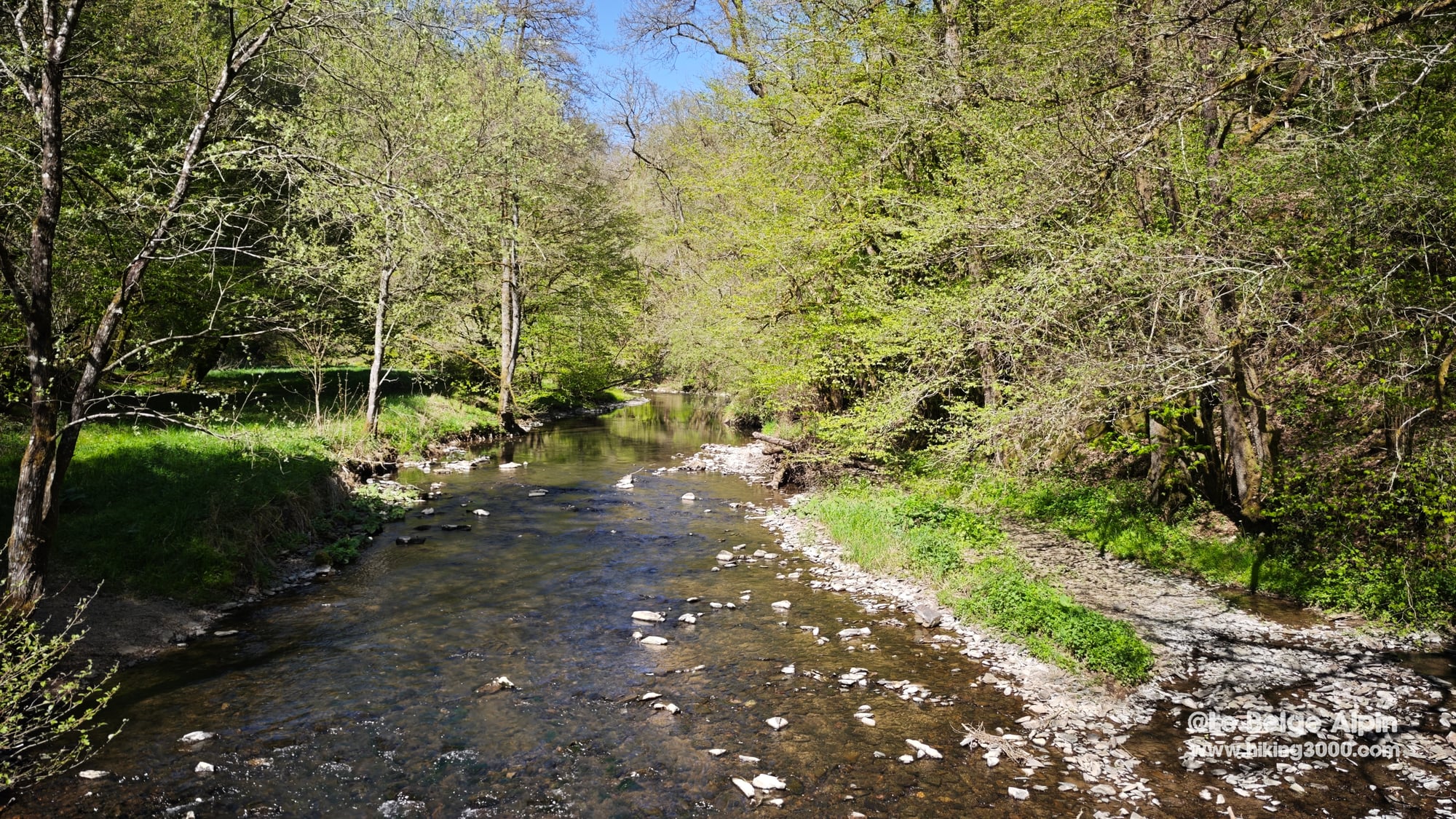
Five hundred meters further on, the Hinkelsmaar no longer holds open water: it has become a floating sphagnum peat bog, classified as a protected area. You walk along it without going down, which is just as well for the habitat. The forest closes in again, you swing east and start the descent toward the Lieser valley.
Above the Lieser, the Manderscheid castles

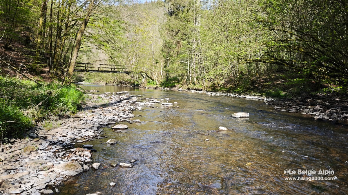
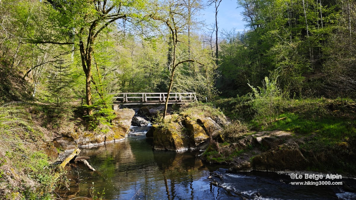
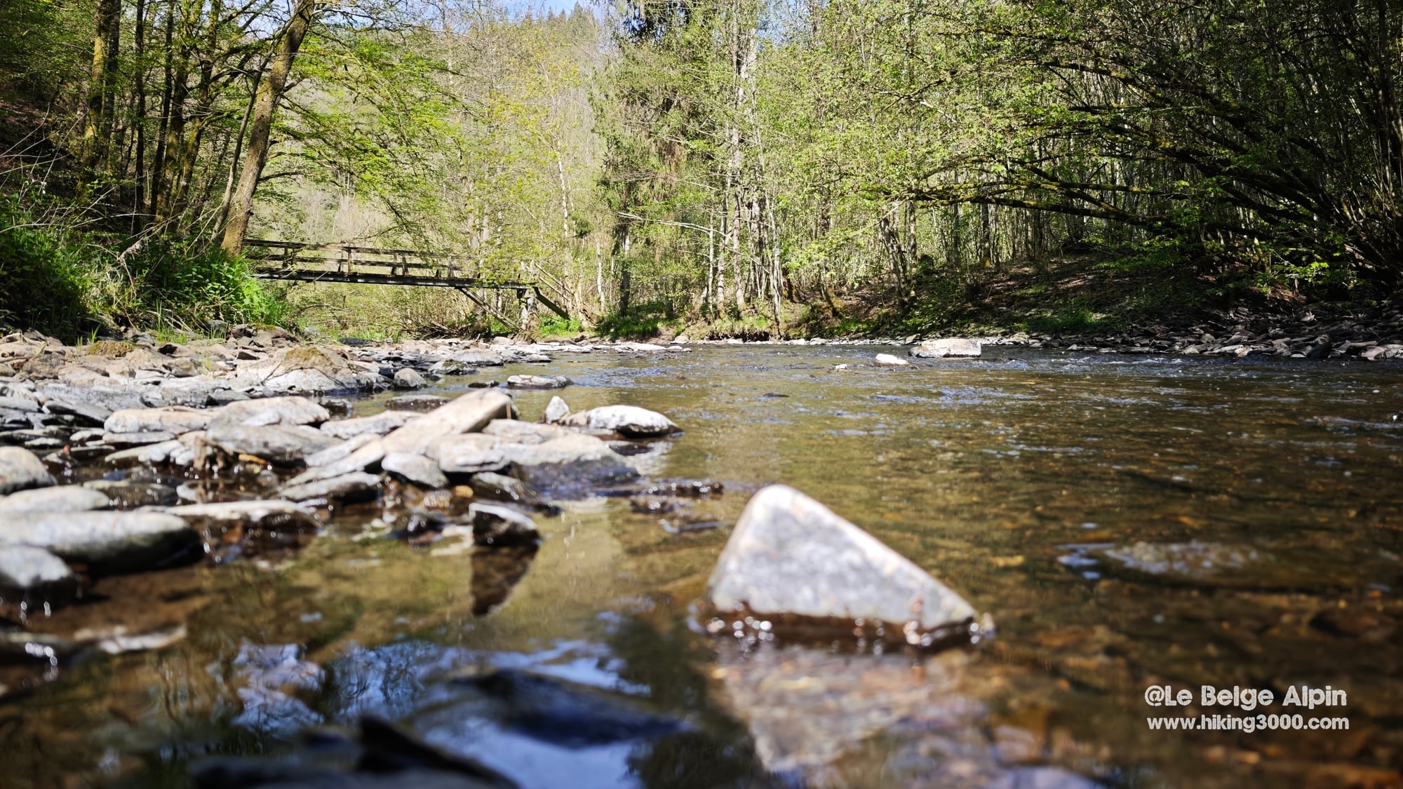
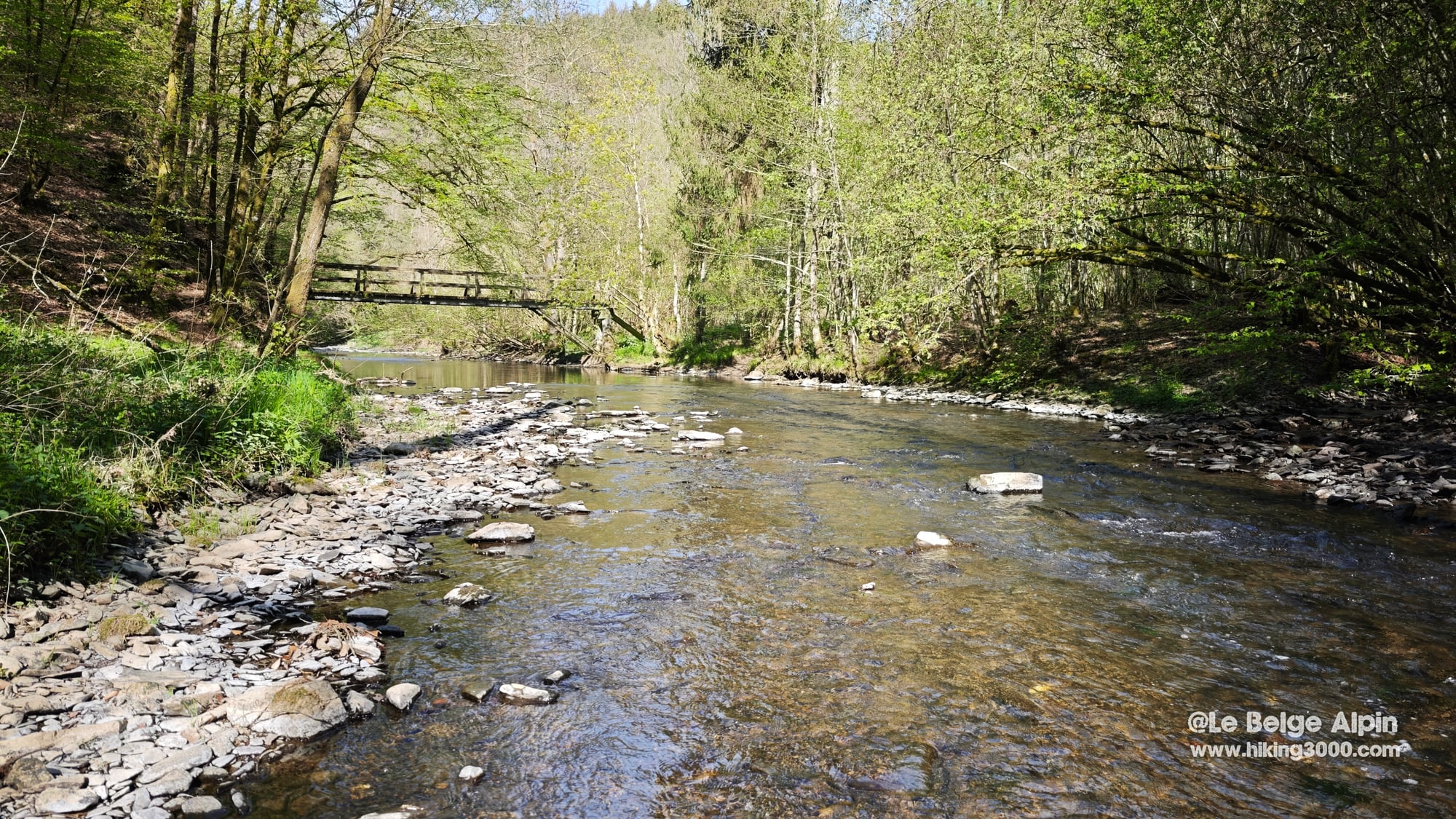
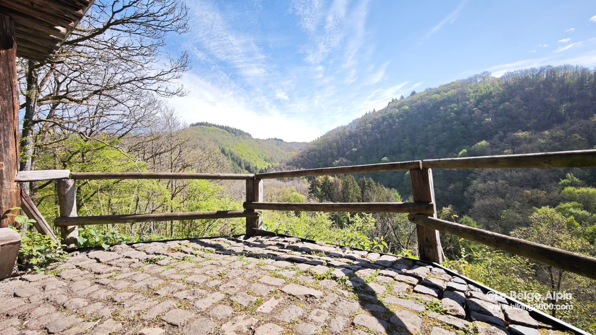
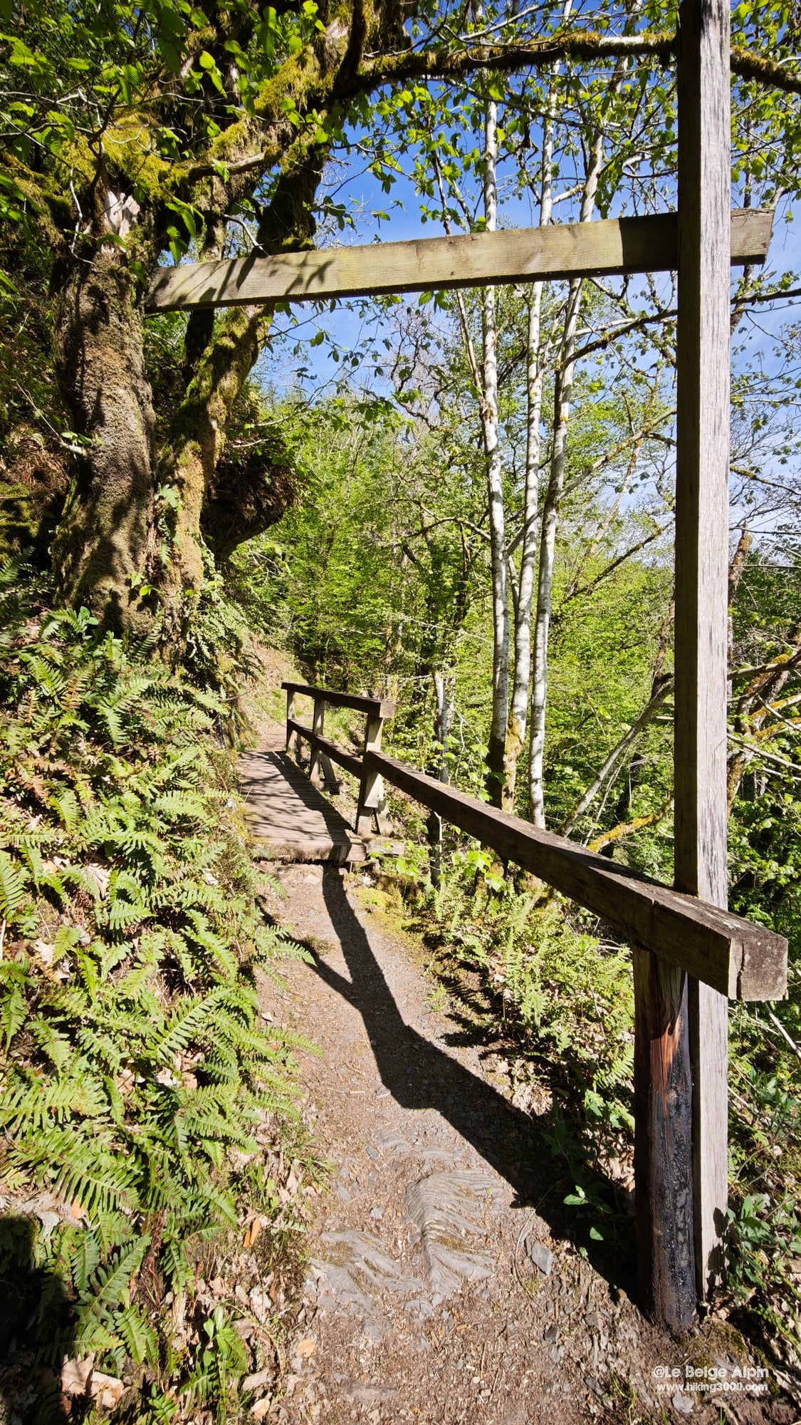
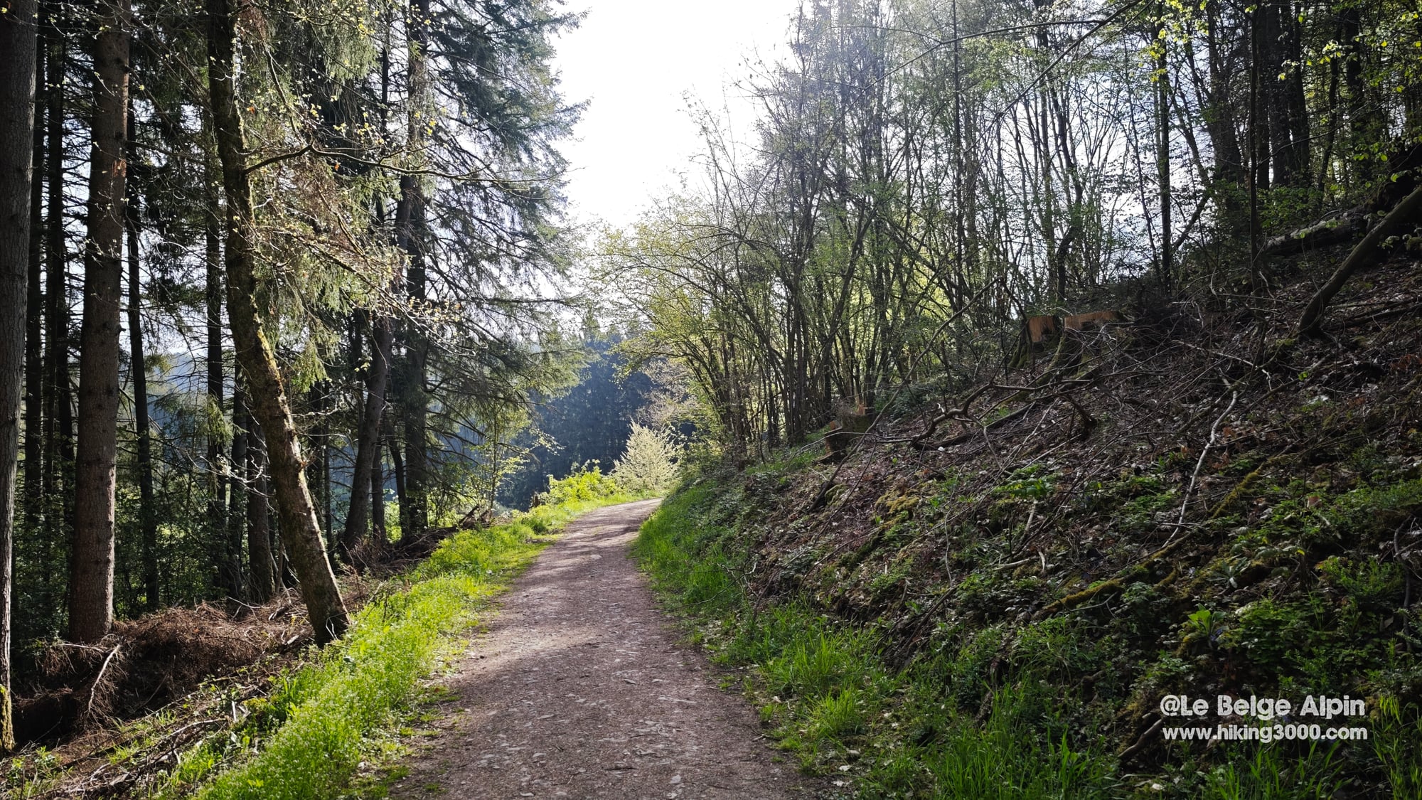
It is in this second half that the hike turns into something unexpected. The Lieser is a river that meanders tightly over 4 km between Bettenfeld and Manderscheid, and the trail follows it on the left bank, sometimes on wooden footbridges, sometimes on a path cut into the rock above the water.
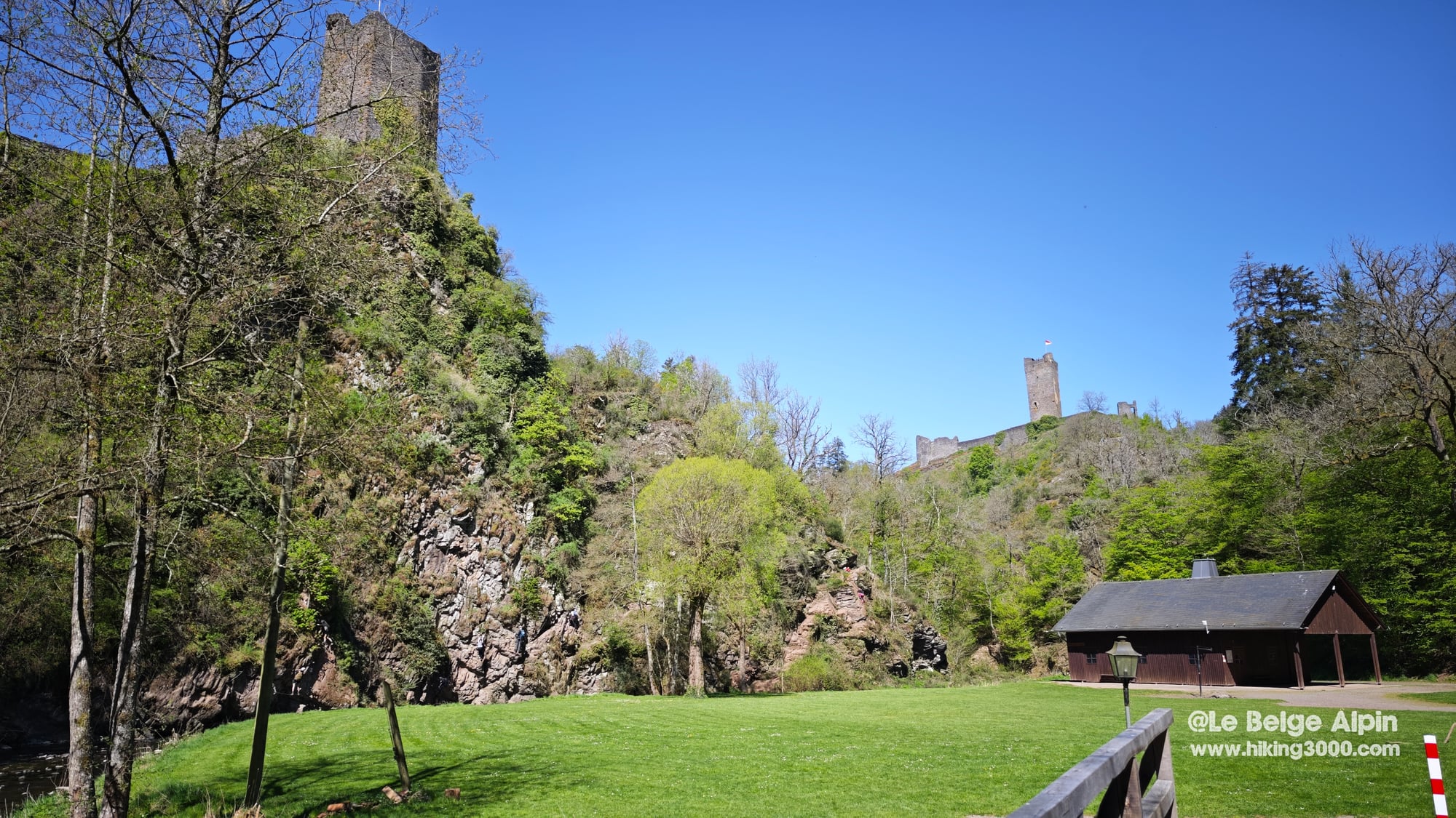
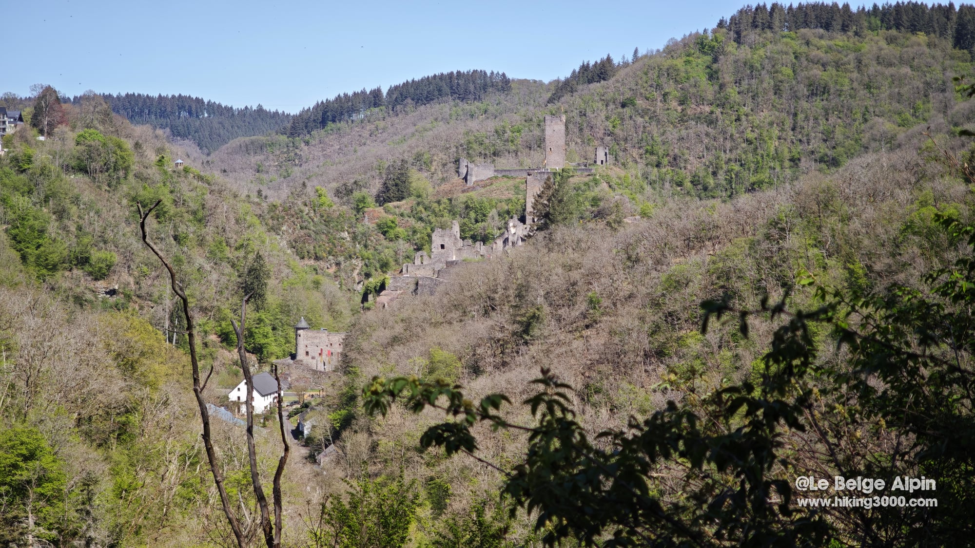
Halfway through, you come upon the ruins of the two Manderscheid castles, the Niederburg and the Oberburg. Medieval, separated by a rocky spur and a meander of the Lieser, partially restored. This is also where the Burgenklettersteig sits, the via ferrata, which partly retraces the old guard paths. I did not climb it on Saturday, I am keeping it for Sunday, but the trail runs below it and the route looks promising. A real wall course with cabled sections, bridges, exposed traverses. It is not an alpine via, but for non-alpine middle-mountain terrain, it is probably the best Germany has to offer.
I crossed a few more people in this section, mostly around the ruins, but still nowhere near the crowds you find on Belgian sites that turn touristy. A lady with poles, two couples, a group of five climbers in harnesses coming down from the via. That was it.
Before you leave
The GesundLand Tourist Information Manderscheid (Grafenstr. 21, +49 6572 998 9005) is the right contact for current conditions, lodging and via ferrata info. They also handle local ticketing and discount vouchers for via ferrata gear rental if you do not have your own.
Vehicle bivouac is tolerated on several forest pull-offs around Bettenfeld, but only outside hunting season (check on site). The Heidsmühle hotel-restaurant in Manderscheid, 4 km to the south, is the closest dorm-and-table option for anyone who wants to stay two nights without driving into a town.
No major elevation, no residual snow in spring, but the soil is clay-heavy, so sticky and slippery after rain. Good shoes recommended, a 1.5 L water bottle is enough for the day, no drinking water on the route.
To go further
- Understanding FFRandonnee E/T/R ratings
- Reading mountain and middle-mountain weather
- Day-hike gear checklist
- The Vulkaneifel sits in the larger Eifel range, which extends from the Rhine to the Belgian border, geologically continuous with the High Fens.
- For more committed alpine routes in the same spirit, see the Pointe de Tierce in Haute Maurienne.
Practical info
Starting point
From Belgium, motorway to Wittlich (Manderscheid exit), then 8 km of country road to Bettenfeld. Free parking in the village center, accessible year-round. Full loop starting from the village.
GPX track
Import the GPS track into your watch or app (Garmin Connect, Komoot, Gaia GPS, Iphigenie...).
Sign in to downloadTourist office (current conditions)
GesundLand Tourist Information Manderscheid
Grafenstr. 21, 54531 Manderscheid, Germany
Garmin track
Gallery
19 photos, click to enlarge


Weather, Bettenfeld
Conditions and forecasts for the itinerary
In the mountains, conditions change fast. A thunderstorm can become dangerous, fog disorients, residual snow slows every step. Before leaving, check the bulletins, plan a stable weather window, and when in doubt, call the tourist office or the local guides office.
Learn to read mountain weather →Questions fréquentes
Where is Bettenfeld and how to get there from Belgium?
+
Bettenfeld is a village in the Vulkaneifel, in the Rhineland-Palatinate state, about 200 km from Liege. Plan on 2h15 by motorway via the A60, Manderscheid exit, then 8 km of small country roads to the village.
What makes the Windsborn-Kratersee special?
+
The Windsborn-Kratersee is the only permanent water-filled crater lake north of the Alps. It belongs to the Mosenberg volcanic group, with last eruptions about 30,000 years ago.
Can this hike be combined with the Manderscheid via ferrata?
+
Yes, it makes a great weekend pairing. The hike runs alongside the Burgenklettersteig route without climbing it. The next day, return to Manderscheid with harness and via ferrata lanyard for the three sections (rating C/D, about 1 km of cable on a 4 km route).
Is the hike suitable for beginners and families?
+
Yes. FFRandonnee rating E2 T1 R1: moderate effort (450 m gain, 21 km, 5h20), wide marked trails, low altitude (300-434 m), good phone coverage. Doable as a family with children used to walking, plan a full day.