Bonjour et bienvenue sur le nouveau site web de Hiking3000 ! Je vous invite à lire notre article sur les nouveautés si vous voulez en savoir plus sur les nouvelles fonctionnalités. Découvrir
Hiking3000, Le Belge Alpin
Loop at Stoumont, Amblève valley, Belgian Ardennes
The complete guide

Hiking in Belgium:
wild routes and advice from a Belgian alpinist

Belgium offers real committed hiking for anyone willing to leave the waymarked circuits. Six main ranges, Ardennes, Hautes Fagnes, Famenne-Calestienne, Croix-Scaille, Gaume and Pays de Herve, concentrate routes of 15 to 25 km with elevation, wild trails, and zero glaciers. This guide gathers mine, tested since my early days in the mountains.

Hi, I am David, but many know me as Le Belge Alpin.

I am a lover of wide open spaces. My passion for the mountains started around age 6 or 7, on a trip with my parents. I have never let go since. But when I have to come back to Belgium for a few weeks of work, one thing saves my head: heading out to hike.

Yes, Belgium may not have 4000-metre summits, but it is full of beautiful landscapes, deep forests, lost valleys, forgotten trails. You just have to know where to look, and sometimes dare to step a bit off the path.

Where to hike in Belgium? Six ranges worth knowing

No need to go far to vary the pleasures. Each Belgian range has its identity, terrain, seasonal traps. Here are the ones I visit, sorted by mood.

The Ardennes, deep forests and carved valleys

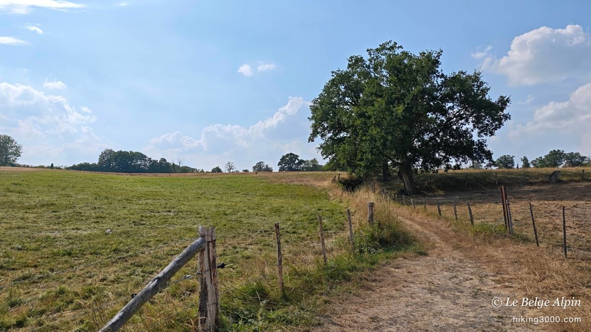
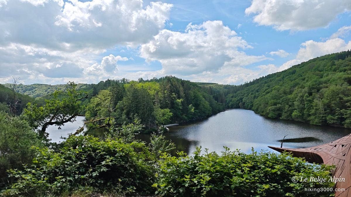
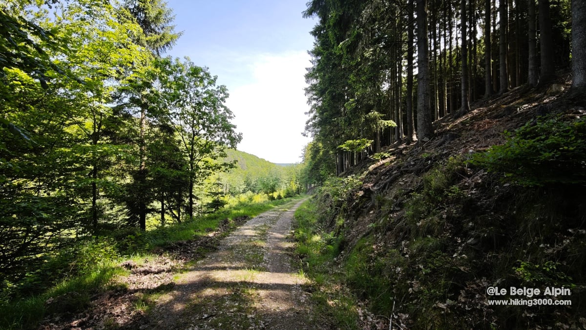
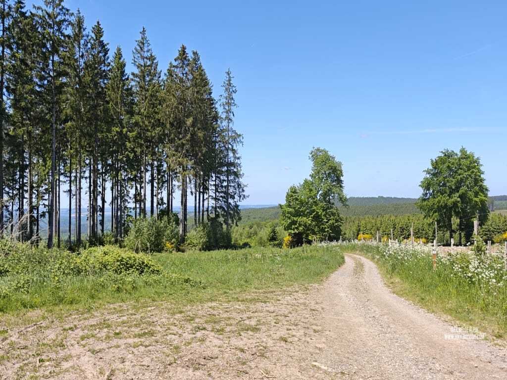
The heart of Belgian hiking. Between the Semois to the south and the Ourthe valley to the north, this is the classic playground: undergrowth trails, discreet rocky ridges, rivers to ford. Spring and autumn are the best seasons, dry ground and low light. This is where I spend the most time when I come home.

The Hautes Fagnes, peatlands and bare horizons

The highest plateau in Belgium (694 m at the Signal de Botrange), a unique landscape of peat bogs, heather and twisted birches. Watch out though: fog can trap you in minutes, even in summer. Always a GPX loaded, always a headlamp. In winter, the plateau takes on an almost Nordic dimension, stunning but technical for navigation.

Famenne-Calestienne, limestone plateaus and caves

Often-underrated region. Between Rochefort and Han-sur-Lesse, limestone plateaus pitted with caves and rocky tiennes offer varied loops. This is also where you will find some of my favourite via ferrata spots, the Famenne is 2-in-1 vertical and horizontal.

The Croix-Scaille, the wild border

Between Belgium and France, a wooded range, modest altitude but quiet trails. Some nice loops around Gedinne, Willerzie, or on the Haute-Meuse side. Ideal zone when you want a forest feel without driving too long from Liège or Namur.

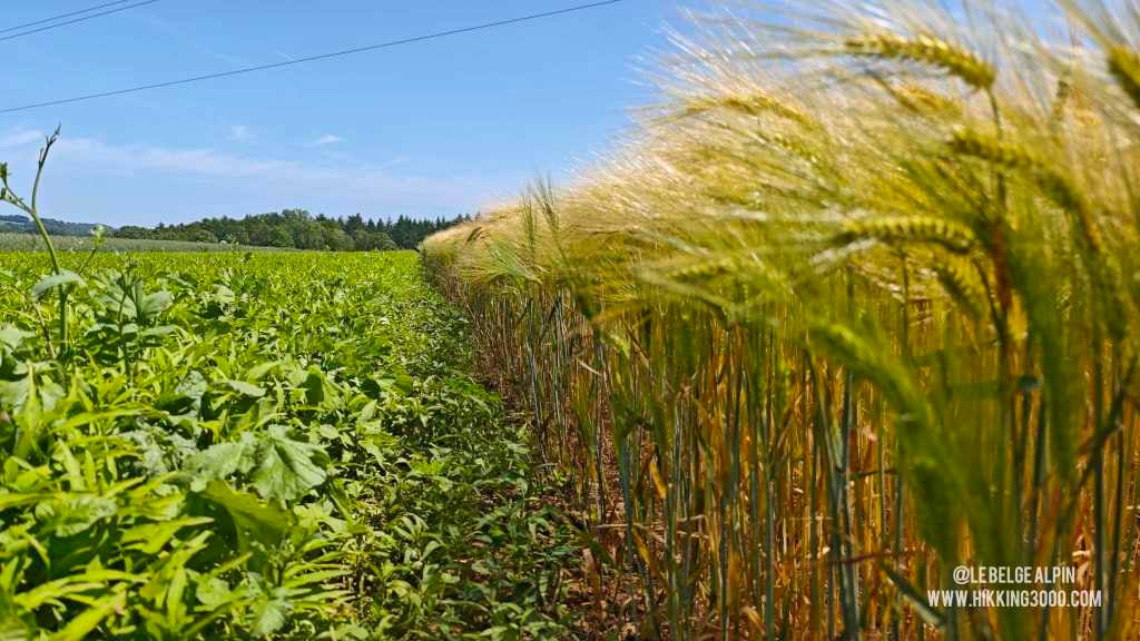
The Gaume, the Belgian Tuscany (almost)

The southernmost tip of the country. Milder climate, more open landscapes, developing vineyards, stone villages. More rolling hiking, ideal in spring. Less elevation, more distance.

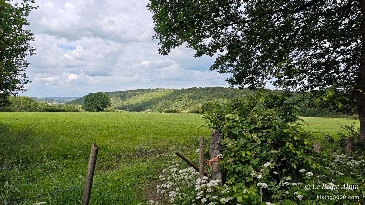
The Pays de Herve and the Liège region

Closer to home. Hilly bocage, orchards, stone farms. The countryside around Esneux, Chanxhe, Fays offers nice loops with honest vertical gain for an area most people think is flat. Ideal for a half-day outing after work.

Committed hiking in Belgium: what it really means

"Committed" in Belgium is not the same as at altitude. No risk of glacier fall, no altitude sickness, no alpine ridge. But also not a Sunday family stroll.

For me, a committed Belgian hike is an outing where you have to:

  • Know how to read a map and a GPX, because the trail regularly fades into brambles or ferns.
  • Carry enough water (1.5 L minimum), because there is no mountain hut and few fountains.
  • Accept that you will not meet many people, sometimes that is what you want, but it also means no help if something goes wrong.
  • Know when to turn back when bridges are washed out, when fog drops on the Fagnes, or when the ground becomes unmanageable.

What I offer here are committed hikes, 15 to 25 km, often in wild corners, sometimes with real vertical gain, and from time to time sections where you literally have to find the trail again in the undergrowth. It is the real thing, raw, lived. And it is my way of staying connected to nature, even far from the Alps.

My documented Belgian hikes

Each route below has been walked and tested. Downloadable GPX track (login required), photos, access advice, and seasonal warnings.

Preparing well: gear, weather, waymarking

IGN NGI maps, GPX, GR and diamond waymarking

To trace your own routes: IGN NGI maps at 1:20,000 (the most precise) or apps like Komoot or Gaia GPS with Belgian mapping. In Belgium, waymarking is more fragmented than in France: long-distance trails (GR) follow red and white rectangles, local Adeps walks display coloured diamonds. Wild trails are not waymarked, hence the importance of a GPX.

The basic gear

Mid-cut hiking boots (muddy trails, slippery roots), waterproof windbreaker even in summer, 1.5 L of water minimum, sweet and salty snacks, light headlamp, map or loaded GPX. Trekking poles optional but useful on descent. No alpine gear, but also not city clothes.

Weather and conditions: check before every outing

Even in Belgium, weather can turn an easy outing into a serious slog. A big thunderstorm in the forest is never pleasant (and sometimes dangerous), thick fog can quickly disorient you, and a good downpour turns trails muddy, slippery and tiring. Before leaving, check the forecast. Prefer clear, stable days, especially if you head out for a long hike or into a wilder area. Some regions like the Hautes Fagnes can trap you with wind or mist, even in summer.

My full series on mountain preparation (applicable in Belgium)

Frequently asked questions

What is a committed hike in Belgium? +

Belgium offers little true high-mountain terrain but plenty of fine 15 to 25 km loops with real elevation on the Ardennes plateaus: Stoumont, Chanxhe-Esneux (Liège region), crossings of the Hautes Fagnes or wild loops around the Croix-Scaille. My routes favour the off-circuit corners, often with sections where the trail has to be found again in the undergrowth.

Where can you hike in Belgium to avoid the crowds? +

Stay away from the busiest waymarked trails (Semois, central Hautes Fagnes). The secondary valleys of the Ourthe, the Famenne plateaus, the Croix-Scaille massif on the Namur side and the countryside of the Liège region offer near-empty routes, even on weekends.

What gear do you need for a committed hike in Belgium? +

Mid-cut hiking boots (muddy trails), waterproof jacket (even in summer, weather turns fast), at least 1.5 L of water per person, IGN NGI map or downloaded GPX, headlamp if starting late. No alpine gear needed, but no improvising either.

Do hikes in Belgium need technical skill? +

For classic waymarked routes (GR, Adeps walks), no. For wild loops like the ones I document here (discreet trails, unmarked undergrowth sections), yes: some navigation, map reading, and above all common sense. Never alpine level, but not a Sunday stroll either.

Can you hike in Belgium year-round? +

Yes, but not just anywhere. Hautes Fagnes in winter means caution (fog, wind, deceiving frozen peat). Ardennes and Famenne are fine year-round, best window April to October. Avoid undergrowth sections after heavy rain, some bridges or crossings regularly get washed out.

Do you need a guide to hike in Belgium? +

No, never. A GPX, an NGI map (1:20,000 recommended) and some common sense are plenty. To start committed hiking, go first with an experienced partner or on waymarked routes before switching to free tracing.

About

I am a mountain addict, alpinism in progress again, via ferrata, easy climbing routes and of course hiking. But when I am back home, I explore what Belgium has that is most wild to offer.

You can follow my adventures, my struggles and my discoveries on my YouTube channel Le Belge Alpin. And if you want to exchange, ask a question or share a track, I always reply.

And the vertical?

Via ferrata in Belgium

Few but fearsome. Marche-les-Dames, Pont-à-Lesse, Fond des Cris (ED), Durbuy. The complete guide with recap table, gear and CAB access.

Open the via ferrata guide