

A hike at the heart of the Esneux area, between forests, ponds and open fields. A charming loop, despite a few sections on road, with a lovely wild climb through the Bois du Rond Chene. A fresh way to discover the Liege region.
This is not quite the kind of hike I usually publish on Hiking3000, but this one is an exception. Why? Because it is my own region, and I have known it forever. Even though the route includes several road sections and goes through villages, which I usually avoid, it has a real charm that I rediscover every time I walk it.
Bois du Rond Chene and Fays countryside
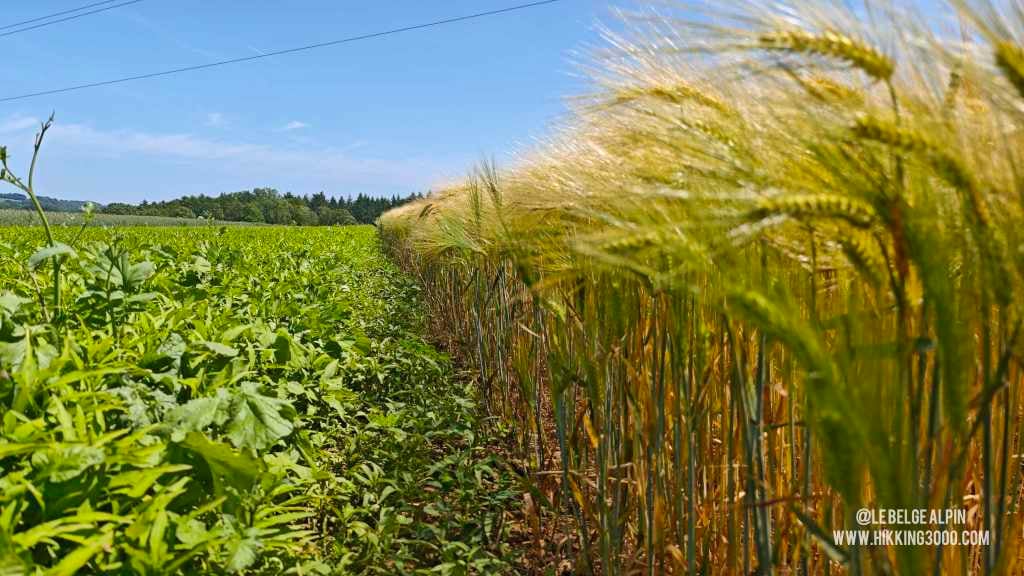
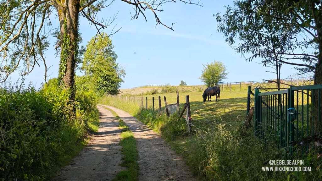
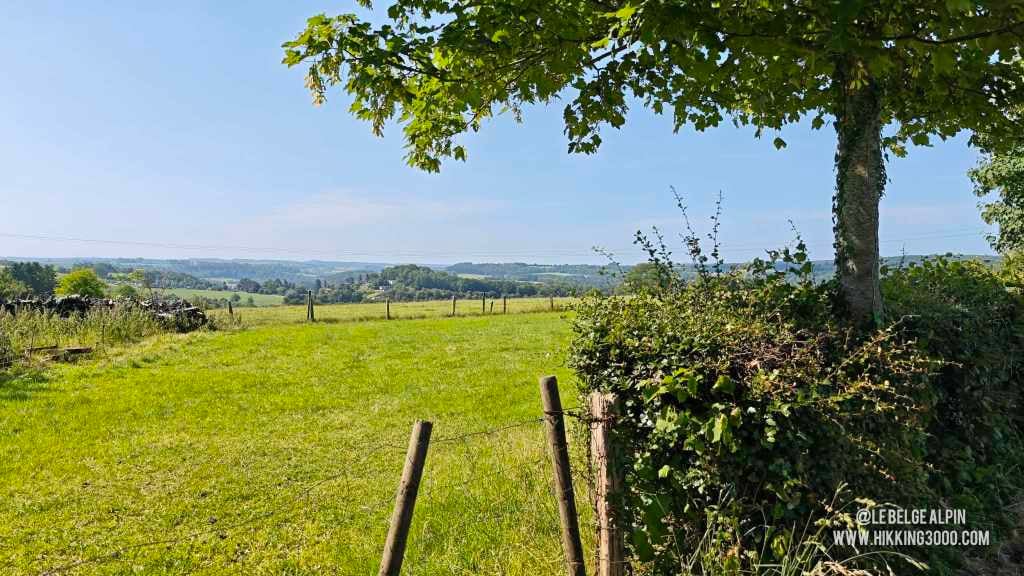
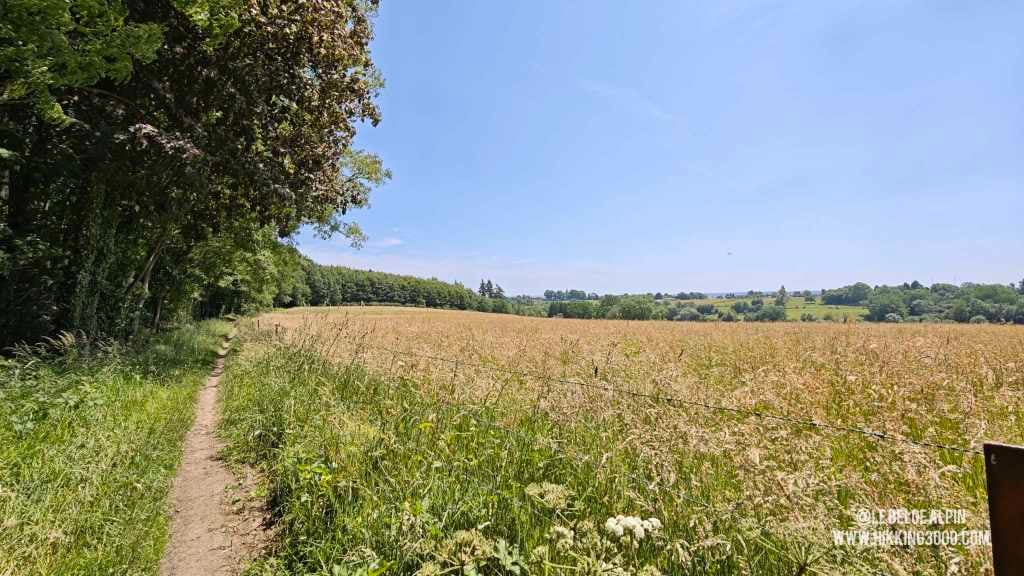
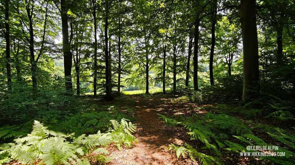
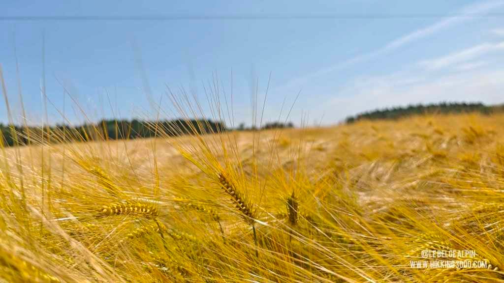
The climb through the Bois du Rond Chene, between deep forests and quiet ponds, is genuinely beautiful, especially in spring or autumn. The Fays countryside offers lovely views over the Ourthe valley. The crossing of Esneux runs on road, true, but the village keeps a fairly typical character that deserves the detour.
For those who prefer, starting the hike directly from Esneux works just as well.
An accessible loop, full of hidden corners
This is not a 100% wild or technical hike, but an accessible loop, full of atmosphere and pretty hidden corners, perfect to rediscover the Liege region from another angle. Maybe I am a little biased, and I own it.
Good shoes, 1.5 L of water, a snack, and you are off for 5 to 6 hours of calm walking with a perfectly honest D+ for the region.
Getting to the start
Starts from Chanxhe, in the municipality of Esneux. Parking near the village. For those who prefer a shorter, more logistically simple option, starting directly from Esneux works just as well.
Please respect local rules:
- Never park in front of a field entrance or on private property.
- Do not block farm accesses.
- Stay discreet, especially early in the morning or late in the evening.
- And if a local says something, keep it friendly: it is their home.
Gallery
12 photos, click to enlarge


Garmin track
Full recording of the outing: GPS track, elevation, speed, heart rate when available.
Downloadable GPX track
Download the GPS track to import it into your watch or app (Garmin Connect, Komoot, Gaia GPS...).
Sign in to downloadWeather, Liège
Animated maps and real-time forecasts
Even in Belgium, the weather can turn a quiet outing into a rough day. A big thunderstorm in the forest is never pleasant (and sometimes dangerous), thick fog can easily disorient you, and a good downpour turns trails muddy, slippery and exhausting.
Questions fréquentes
Is the Chanxhe-Esneux loop suitable for beginners?
+
Yes, with a caveat. The 650 metres of elevation gain are well spread out and there is no technical passage. That said, 21 km in a single day requires a minimum of walking habit. Count 5 to 6 hours with breaks. If it is your first long hike, start early and bring a solid snack.
Can the hike be shortened?
+
Yes, easily. The official start is at Chanxhe, but you can also start from Esneux, which cuts part of the road sections and shortens the loop a bit. The climb through the Bois du Rond Chene remains accessible from both entry points.
Where to park at the start?
+
Parking near the village of Chanxhe, on the roadside. It is not an official parking area but the zone accommodates a few cars without disturbing residents. Precise coordinates and Waze or Google Maps links are available to logged-in users to avoid openly exposing unofficial parking spots.
What is the best season?
+
April to June and September to October. Spring for the undergrowth turning green again, autumn for the deciduous colours. Summer is doable but the Fays countryside can be harsh in heavy heat. Winter stays feasible on dry ground, but some forest sections turn muddy.
Is a GPS track needed or does the waymarking suffice?
+
The GPX track helps, especially in the Bois du Rond Chene where several intersections can cause confusion. Waymarking exists but is not systematic over the whole loop. Download the track by creating an account.