
Easy and scenic hike at Stoumont, in the heart of the Belgian Ardennes. An accessible day loop between forests, meadows and fine viewpoints. Ideal for a quiet nature outing, with no major difficulty, in a wild and authentic setting.
A 15 km loop in a classic Belgian Ardennes setting. The route alternates deep forests, open meadows and viewpoints over the valleys. Accessible to most hikers, with no marked technical difficulty, just a fine outing in nature.
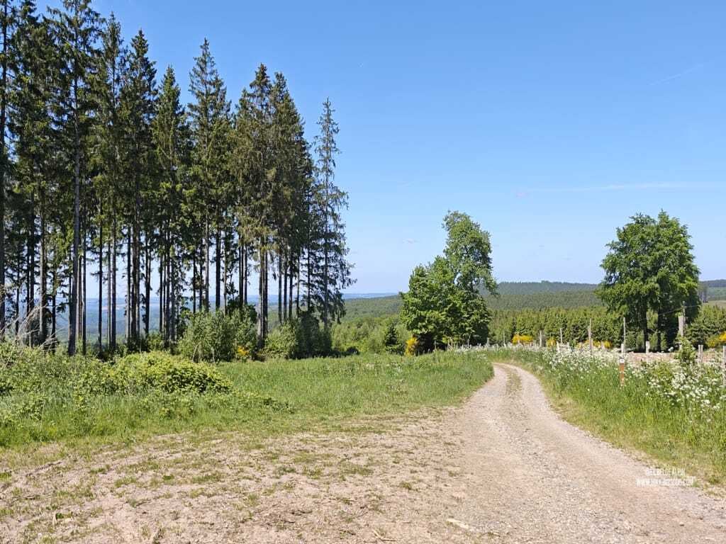
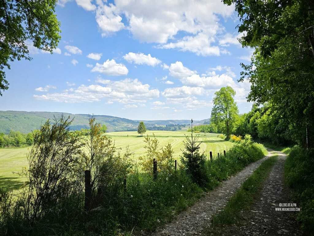
A scenic itinerary without being demanding
The 470 metres of elevation gain stay well spread over the 15 km. No technical passages, no trail that gets lost, you stay on waymarked paths and a readable track. Ideal as a first committed Belgian hike or as a re-entry outing after winter.
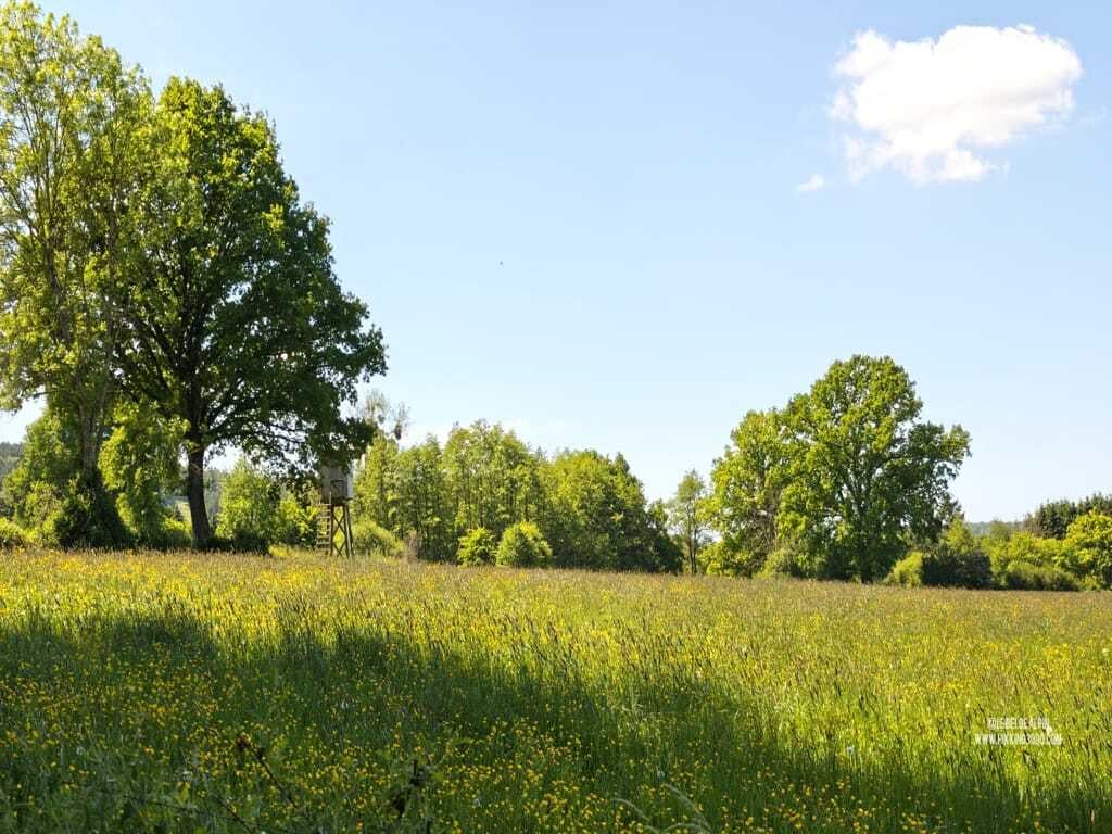
The viewpoints are worth the detour, especially at the end of the day when the light rakes across the meadows. Several spots offer a beautiful perspective over the Amblève valley and the surrounding Ardennes hills.
Conditions and season
Walkable year-round on dry ground. In autumn, the tracks can get muddy under forest cover. Good waterproof boots recommended. In winter, watch out for frost: some undergrowth sections stay slippery even at midday.
A bit of water, something sweet and something salty, a headlamp if you set out late in the afternoon: the basics are enough.
Getting to the start
Starts from the village of Stoumont. Parking available near the centre or around the edges of the village.
Please respect local rules:
- Never park in front of a field entrance or on private property.
- Do not block farm accesses.
- Stay discreet, especially early in the morning or late in the evening.
- And if a local says something, keep it friendly: it is their home.
Gallery
3 photos, click to enlarge

Garmin track
Full recording of the outing: GPS track, elevation, speed, heart rate when available.
Downloadable GPX track
Download the GPS track to import it into your watch or app (Garmin Connect, Komoot, Gaia GPS...).
Sign in to downloadWeather, Stoumont
Animated maps and real-time forecasts
Even in Belgium, the weather can turn a quiet outing into a rough day. A big thunderstorm in the forest is never pleasant (and sometimes dangerous), thick fog can easily disorient you, and a good downpour turns trails muddy, slippery and exhausting.
Questions fréquentes
Is the Stoumont loop suitable for beginners?
+
Yes, without reservation. 15 km and 470 metres of elevation well spread out, no technical section, clear waymarking. This is typically the ideal Belgian hike for a first committed outing or to start again after winter. A decent pair of boots and some water are enough.
How long should you plan for the loop?
+
Count 3 to 4 hours at a steady pace, a bit more with photo or picnic breaks. The regular profile lets you keep a constant rhythm without running out of steam.
Can you do the hike in winter?
+
Yes, but with caution. Some undergrowth sections stay slippery even in the middle of the day because the frost does not thaw. Waterproof shoes and poles recommended. Dry ground, no problem.
Are there any water points or services along the way?
+
Very few. A short stop is possible in the village of Stoumont at the start or finish, but nothing on the route. Plan 1.5 litres of water in summer plus a snack. The village has one or two cafes if you finish early.
Where can you park to start the loop?
+
Parking is available near the centre of Stoumont or around the edges of the village. No dedicated car park, but plenty of room. Precise coordinates available to signed-in users.