
A 20 km loop starting from Werbomont, in the municipality of Ferrières. Hand-drawn route to avoid the tourist trails, crossing the hamlets of Bra, Habiémont and Chevron. A leg-warmer two weeks before leaving for the Alps, 605 m of gain without meeting a single soul.
Two weeks before leaving for the Alps, I’m getting the legs back into serious mode. I was looking for an end-of-day loop, midweek, something between 15 and 25 km with some elevation. Not a tourist trail among the classics, but a hand-drawn track to dive into a side of the Ardennes that gets less attention.
I found what I wanted around Werbomont, in the municipality of Ferrières, province of Liège. Twenty kilometres in a loop, 605 metres of climbing, and exactly zero people met on the whole route.
A hand-drawn track to escape the crowds
This has become my method for Belgian hiking. Rather than following a marked tourist route that ends up saturated on a spring Saturday, I draw my own track on an IGN or OpenStreetMap base. The principle is simple: link forest paths together, pass through discreet hamlets, aim for as much distance as possible without ever crossing the same point twice.
The goal is to chain a nice distance between 15 and 25 km with some elevation gain, and above all to keep it as wild as possible. These loops I call my little wild walks in Belgium have become my favourite training between two mountain trips. No signposts to follow, no other walkers on the trail, just the GPS track and the forest closing in.
Through the hamlets: Bra, Habiémont, Chevron
The route first heads south from Werbomont, crosses the territory of Bra (Lierneux municipality) past the hamlets of Basse and Haute Monchenoûle. The track then climbs back north, crosses Habiémont and skirts the woods around Chevron (Stoumont municipality) before looping back via the heights.
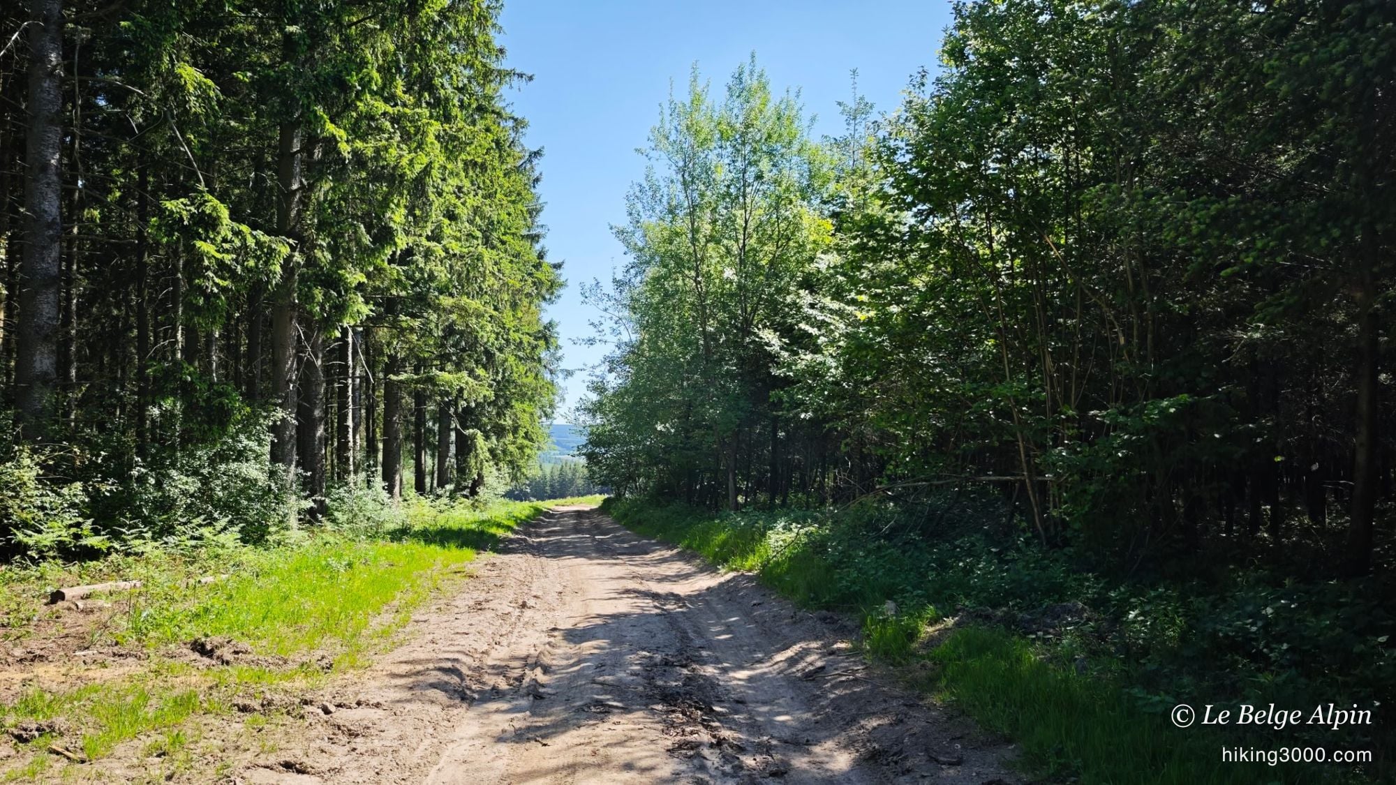
None of these names mean much to a passing hiker. That’s precisely the point. No tourist sign, no orientation table, no food truck at the finish. Just hamlets of a few farms, agricultural paths that smell of cut hay, and forest entries where the trail suddenly starts to climb.
Cereal fields and spruce stands
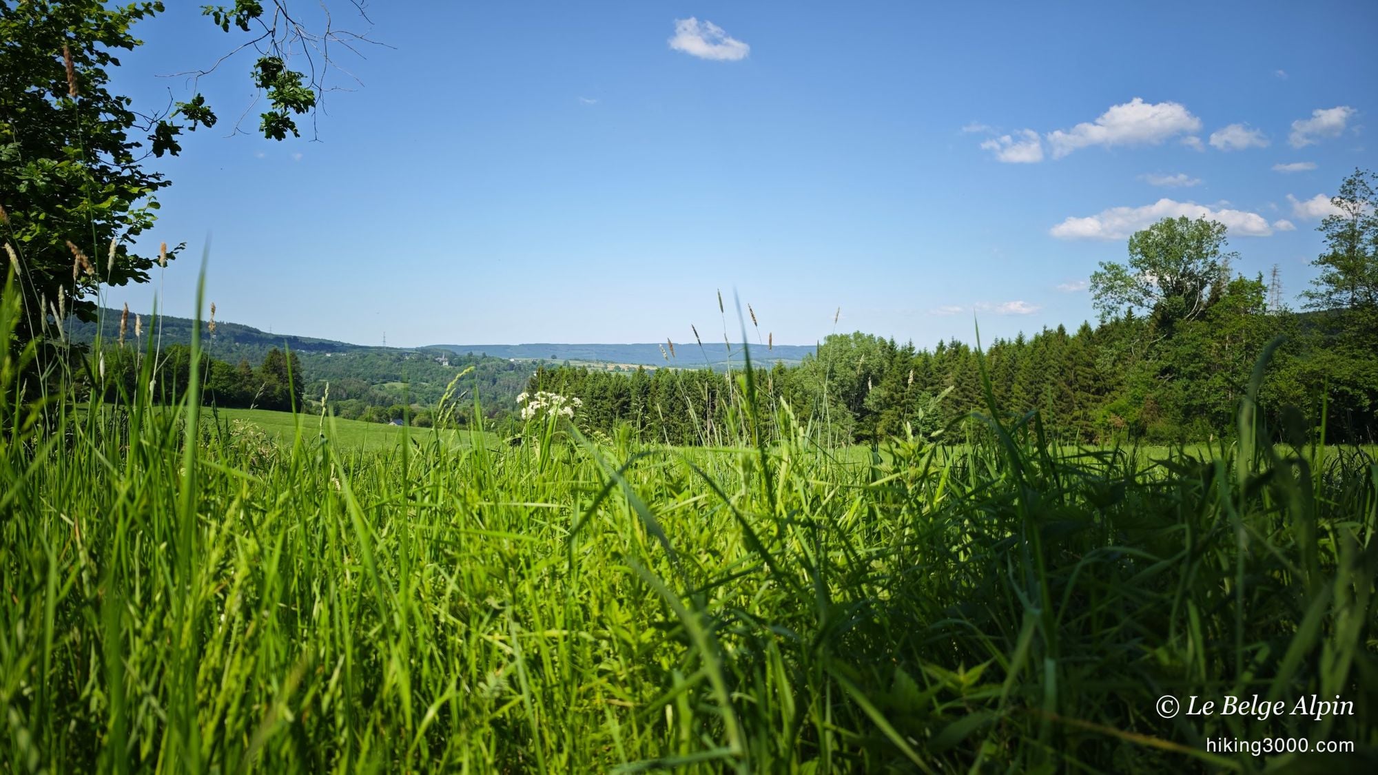
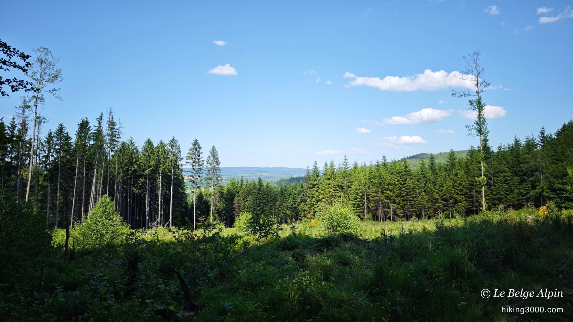
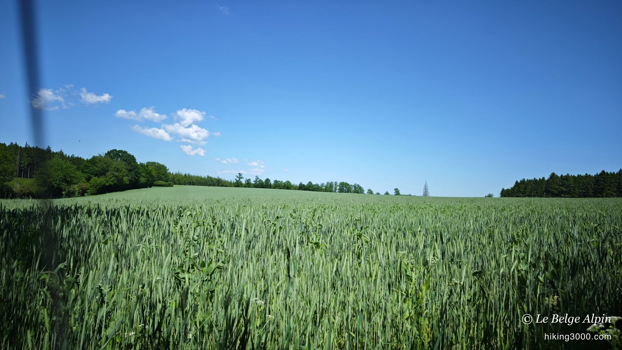
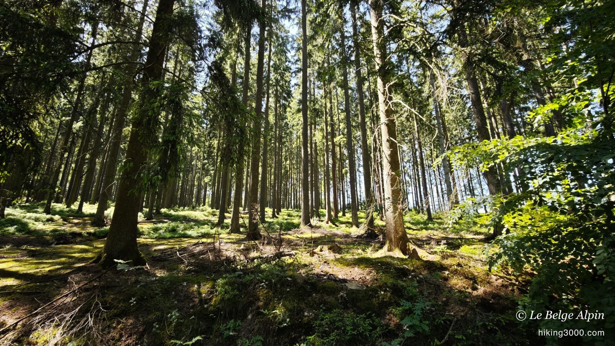
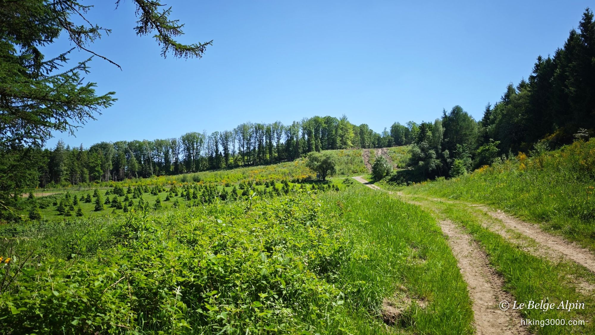
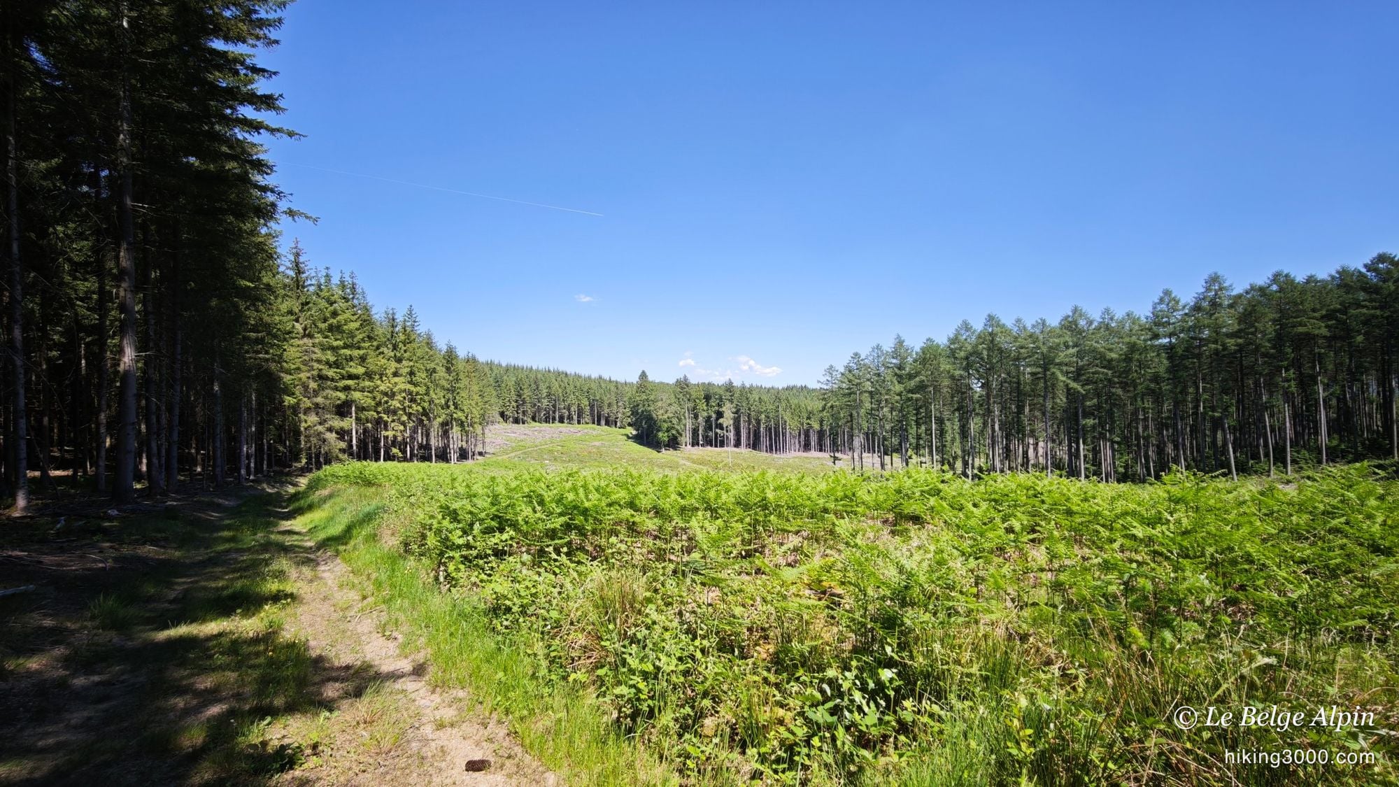
A good part of the route crosses the typical alternation of the central Ardennes in late spring: cereal fields still green and rippling in the wind, clearings ringed by conifers, and spruce stands dense enough that light comes in patches between the trunks. May is probably when these contrasts are most striking. Barley up to your knees, fresh shoots in the recent clear-cuts, a blue sky Belgium doesn’t hand out every day.
What I didn’t get on this loop: any panoramic view in the mountain sense of the word. We stay on the Ardenne plateau between 270 and 475 metres. But openings towards distant valleys exist, and some sections of the track are visually surprising, especially in recent forestry zones where the canopy has opened up.
Wide paths, two or three quieter sections
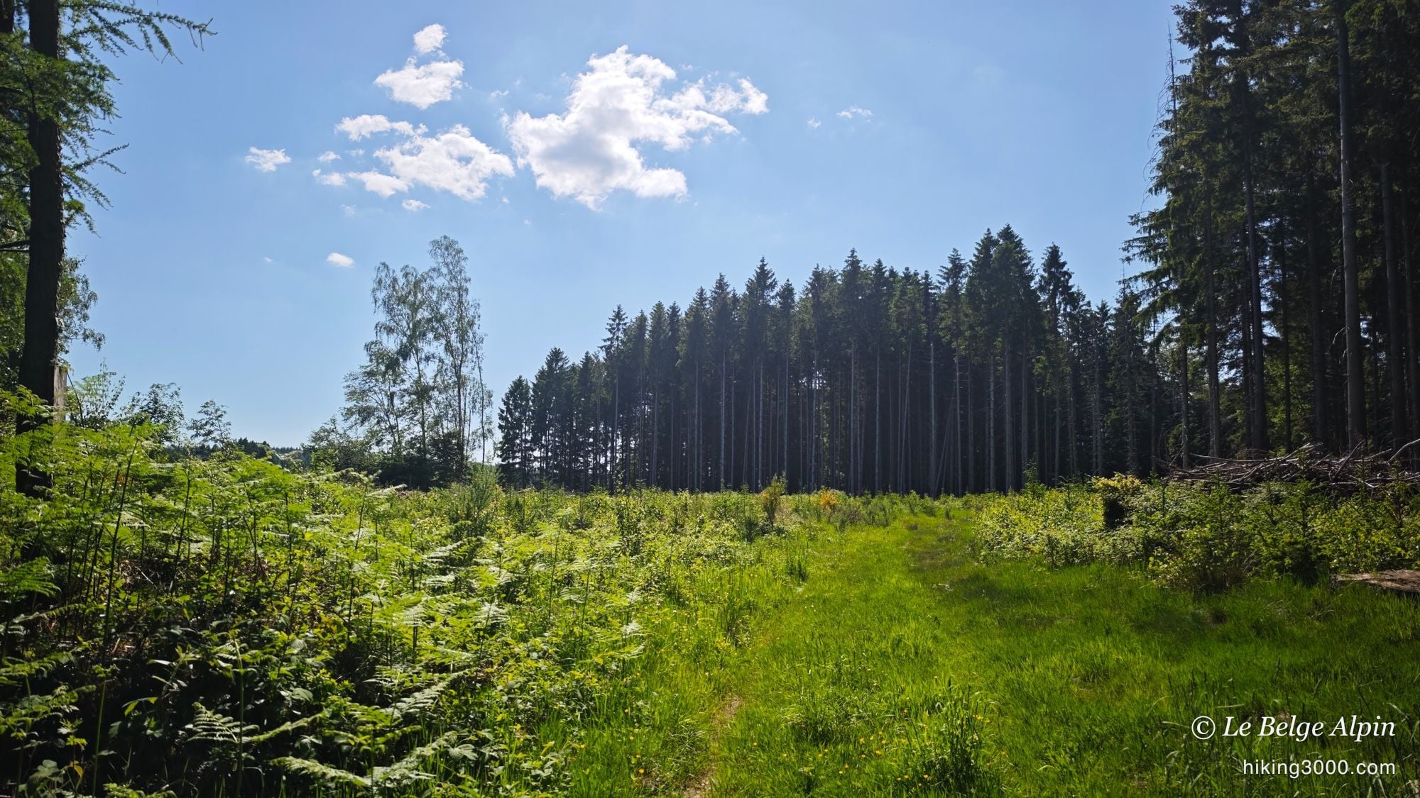
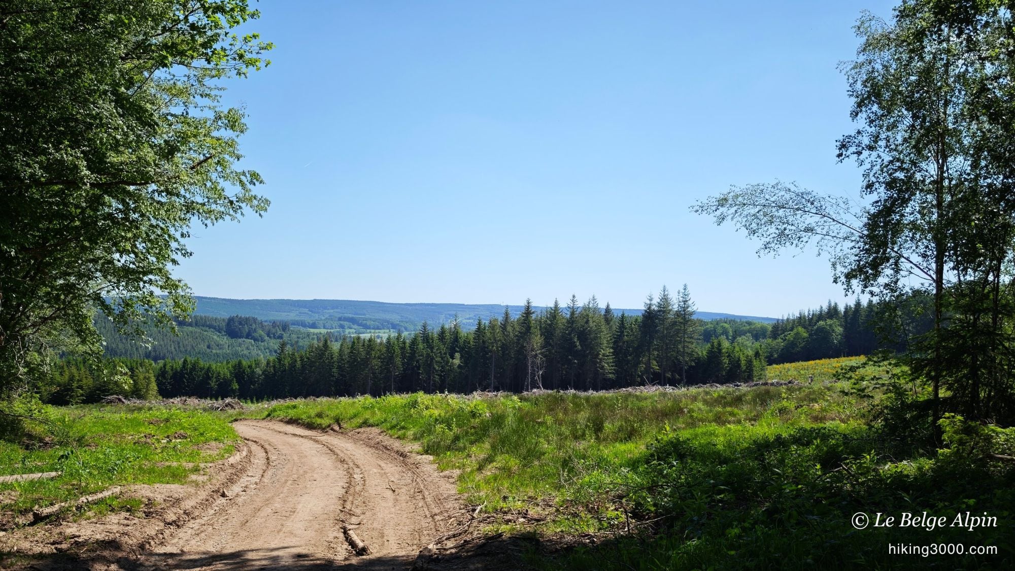
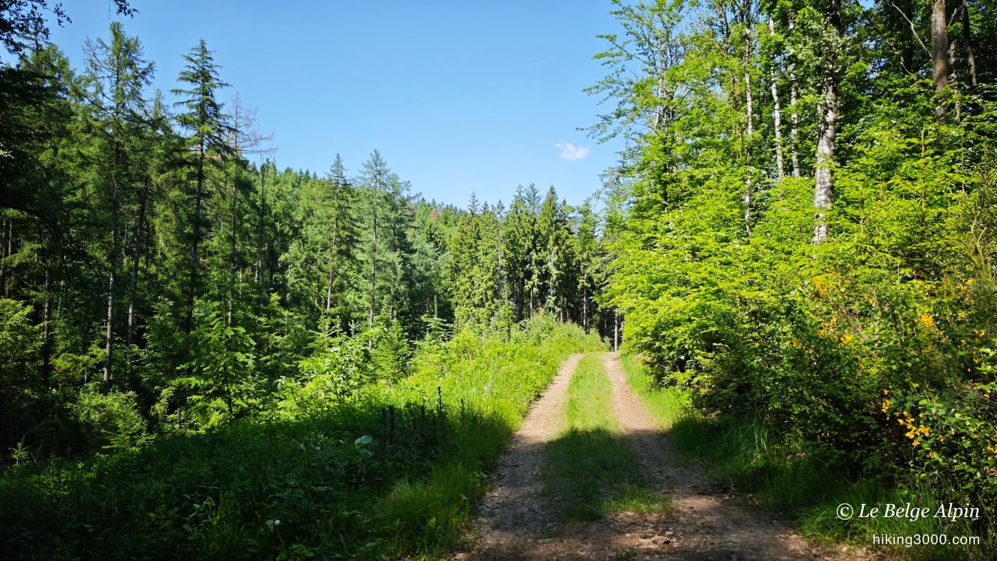
The track is mostly rolling. The vast majority follows wide forest paths, sometimes gravelled, perfectly walkable even after rain. Ideal to keep a good pace without having to check your feet at every step.
There are still two or three sections where the trail narrows, crosses heavy vegetation, and becomes less obvious to follow. Nothing technical or committing: just bracken growing back, low branches, sometimes a track you briefly lose. The GPX answers the question. Without it, certain forest junctions could cost a few back-and-forths.
Silence as the indicator
On this loop, on a midweek late afternoon, I met absolutely no one. No cars on the paths, no walkers, no mountain bikers. And I’m fairly confident that even on a peak-season Saturday or Sunday, on this kind of track, the counter stays at zero or close to it.
That’s the marker I’m after. When an Ardenne loop can absorb 20 km without producing a single encounter, it means we’ve avoided what needed avoiding. The region remains liveable precisely because you can still find that silence, provided you step away from the main circuits.
🧭 At a glance
- 605 m of gain well distributed over 19.76 km. No big wall, but constant restart.
- Decent hiking shoes are enough, terrain mostly dry outside wet zones near streams.
- 1.5 L of water in summer, no resupply on the loop.
- GPX track essential. Personal unmarked route, several junctions in undergrowth.
- Discreet parking at Werbomont, along the N66 or in a side street. Not in front of houses.
- Local insights welcome: if you know the area even better than I do, I’d love to hear about similar gems.
A loop exactly in line with what I publish under the wild Belgium pillar. If you’re looking for a serious training hike, off the crowds, in an Ardenne we sometimes forget to look at, this one ticks the boxes.
Getting to the start
Start from Werbomont, along the Bastogne road (N66), Ferrières municipality. Discreet roadside parking at the village entrance. Avoid parking in front of houses, leave the spots for residents.
Please respect local rules:
- Never park in front of a field entrance or on private property.
- Do not block farm accesses.
- Stay discreet, especially early in the morning or late in the evening.
- And if a local says something, keep it friendly: it is their home.
Gallery
10 photos, click to enlarge
Garmin track
Full recording of the outing: GPS track, elevation, speed, heart rate when available.
Downloadable GPX track
Download the GPS track to import it into your watch or app (Garmin Connect, Komoot, Gaia GPS...).
Sign in to downloadWeather, Stoumont
Animated maps and real-time forecasts
Even in Belgium, the weather can turn a quiet outing into a rough day. A big thunderstorm in the forest is never pleasant (and sometimes dangerous), thick fog can easily disorient you, and a good downpour turns trails muddy, slippery and exhausting.
Questions fréquentes
Why hand-draw a route instead of following marked trails?
+
This is exactly what I look for in a Belgian loop: getting off the touristic itineraries. The RAVeL routes and marked loops attract crowds on weekends. Drawing your own track on an IGN or OpenStreetMap base lets you link forest paths and quiet hamlets. The result here, over 20 km: zero hikers met on a midweek late afternoon.
Are there any technical sections?
+
None in the mountain sense. The vast majority of the route follows wide, well-maintained paths. Two or three sections cross areas with heavier vegetation, where the trail becomes less obvious. Nothing committing, just bring the GPX track to avoid hesitating at forest junctions.
20 km, who is it for?
+
Solid endurance base recommended. Count 3h30 to 4h at a steady pace, more if you stop for photos in the fields and clearings. The 605 m gain stays well distributed, no big wall. For me, this is typically the leg-warmer distance two weeks before heading to the Alps.
When is the best time?
+
Spring and early summer for the light through the clearings and the still-green cereal fields. September and October for the broadleaf colours. Winter remains doable but forest sections can be muddy and some trails harder to read. In summer heatwaves, aim for the morning, sunlit paths get hot.
Is the trail marking enough?
+
No, not on this kind of route. It's a hand-drawn itinerary that follows no official marking over its full length. The GPX track is essential. Download available to logged-in users.