
A 15.75 km loop starting from Sendrogne, on the heights above Sprimont. 453 metres of climbing, trails I plotted myself to dodge the roads, a stream to cross without a bridge and two little valleys that make your legs work. The local walk I thought was dull, and isn't.
I wasn’t even going to put this hike on the site. Sendrogne, on the heights above Sprimont, is where I grew up, and I figured there wasn’t much left to tell. I’d dropped by to say hello to my mum, who still lives there, between coming back from the Alps and heading off to the Vosges for a big weekend of hiking. Then I set out on a small loop, just to stretch the legs. It turned out to be well worth the detour. So here it is.
The place where I grew up
When I was a kid, this was proper countryside. I used to help with the haymaking and bring in the cows, there were farms everywhere and meadows as far as you could see. These days, let’s be honest, it’s a lot less rural: housing estates have sprung up here and there, the houses have nibbled away at the fields, and only two or three small farms are left. That’s partly why I thought the place had nothing to offer for a hike.
Except the surroundings have kept their wild side. As soon as you step off the streets, you drop back onto sunken lanes, forgotten wood edges and wooded little valleys that nobody walks. You just have to know where to look.
🧭 A loop plotted my own way
I followed no waymarks. I drew this loop on a map, at home, with one obsession: avoid the tarmac. And in this area, believe me, that’s a challenge. Farm tracks usually spit you out onto a road, and linking two woods without setting foot on asphalt takes some careful stitching. In the end I got the paved bits down to almost nothing.
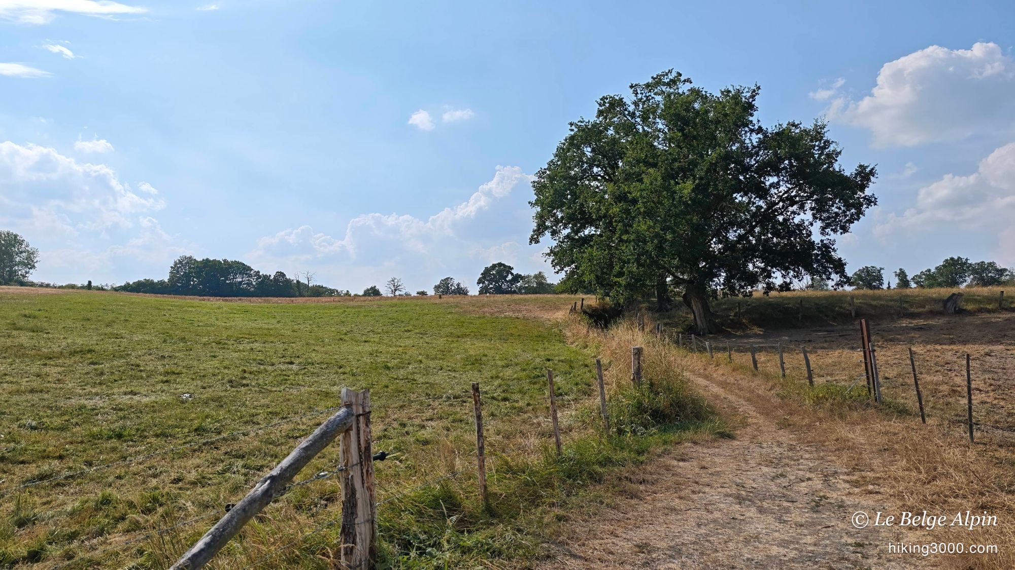
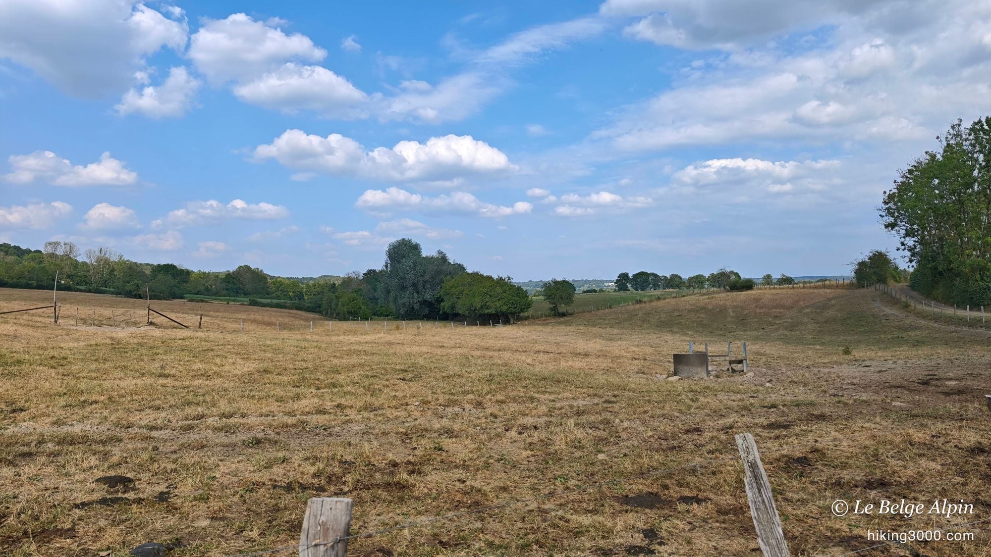
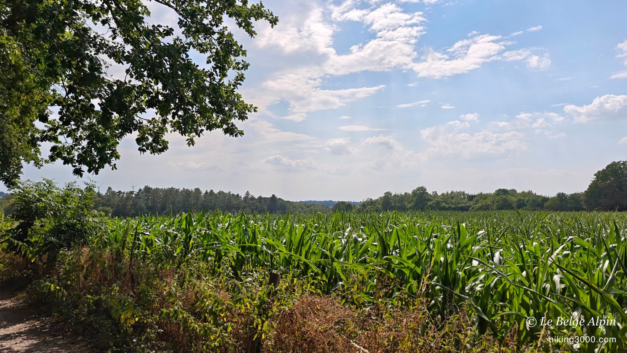
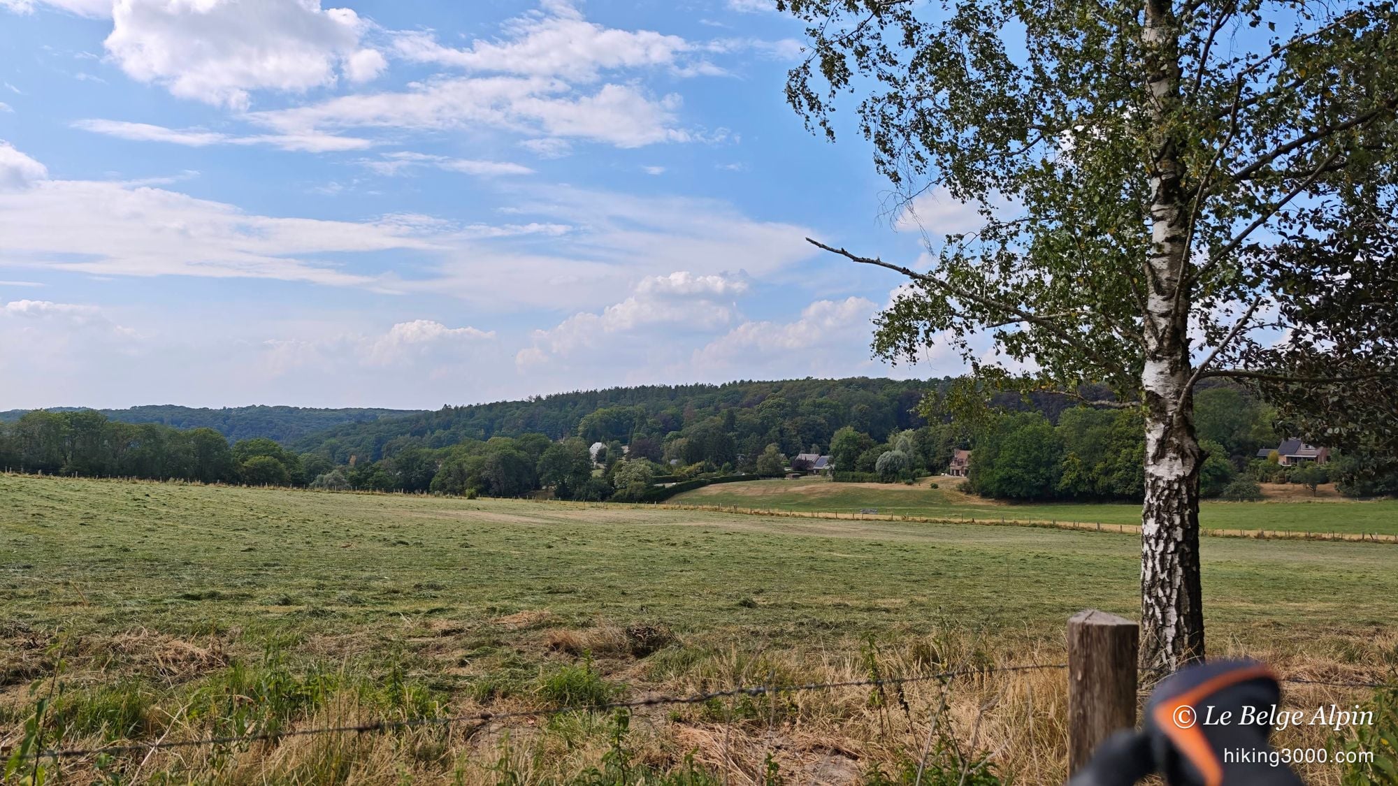
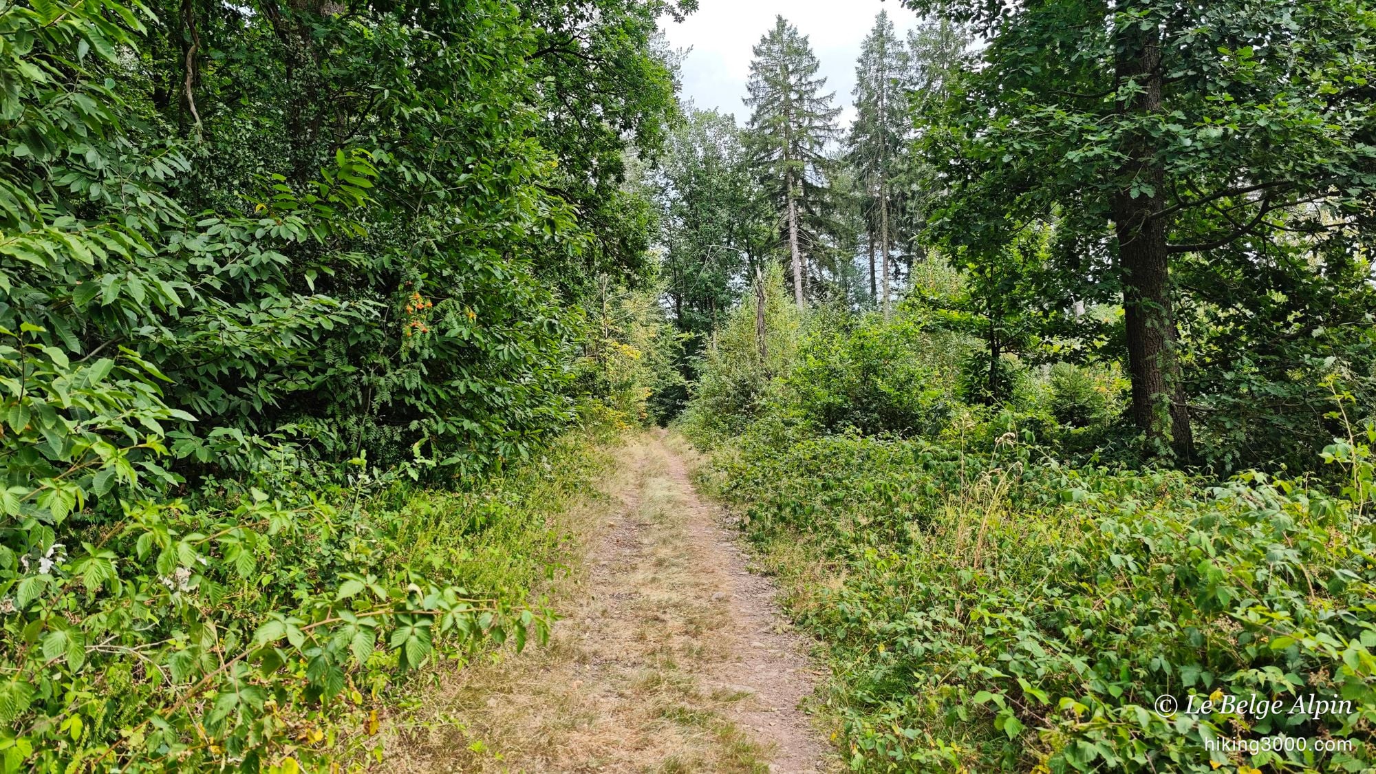
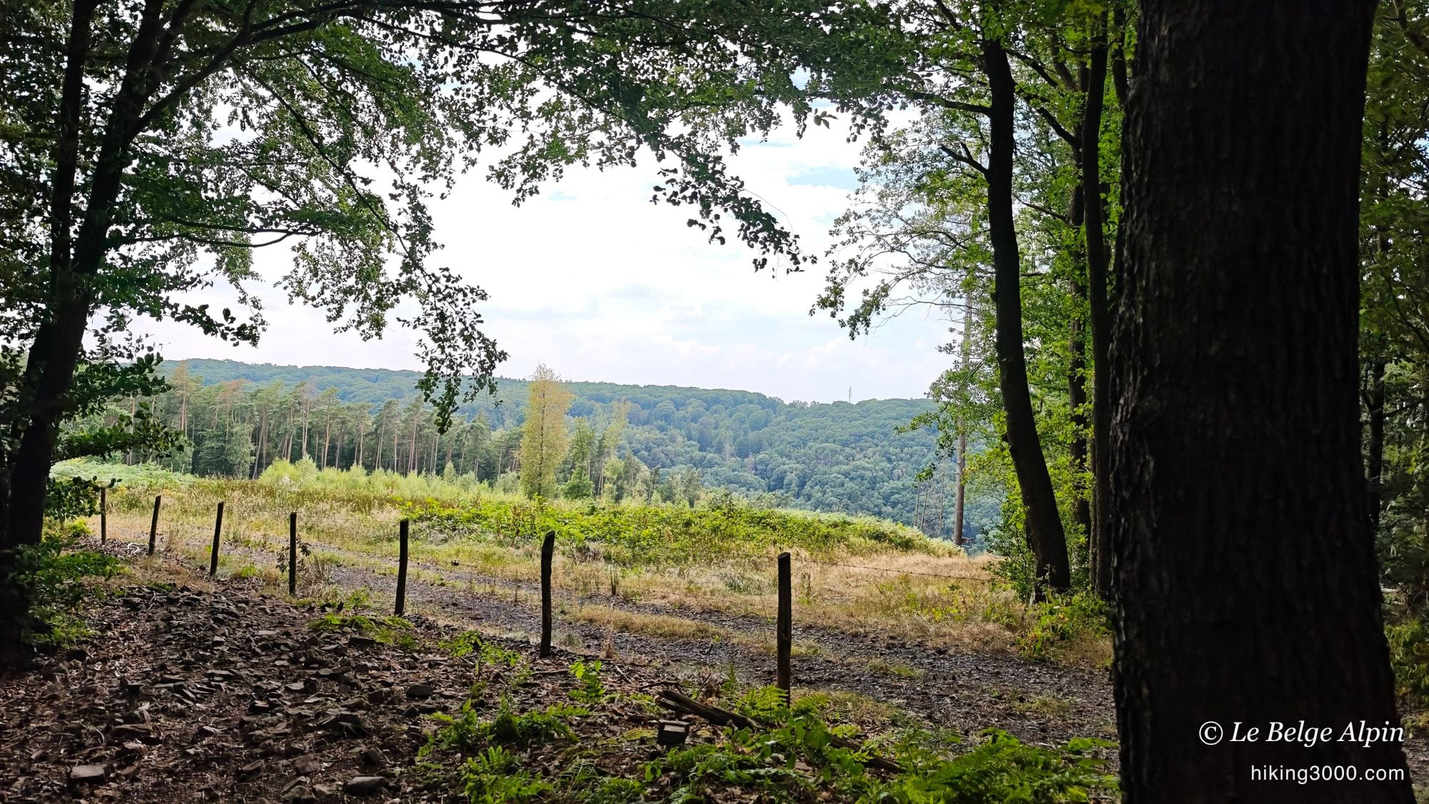
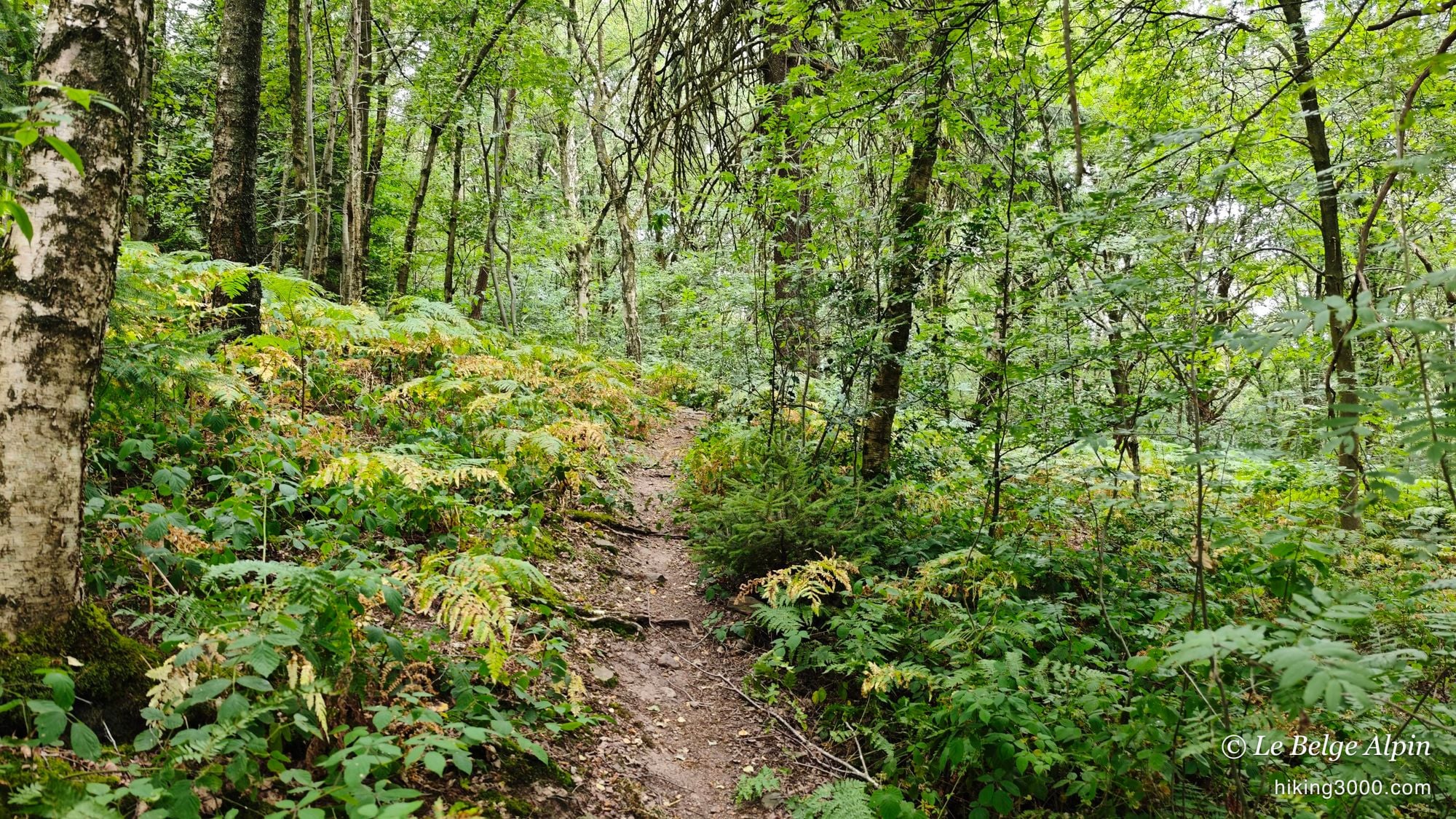
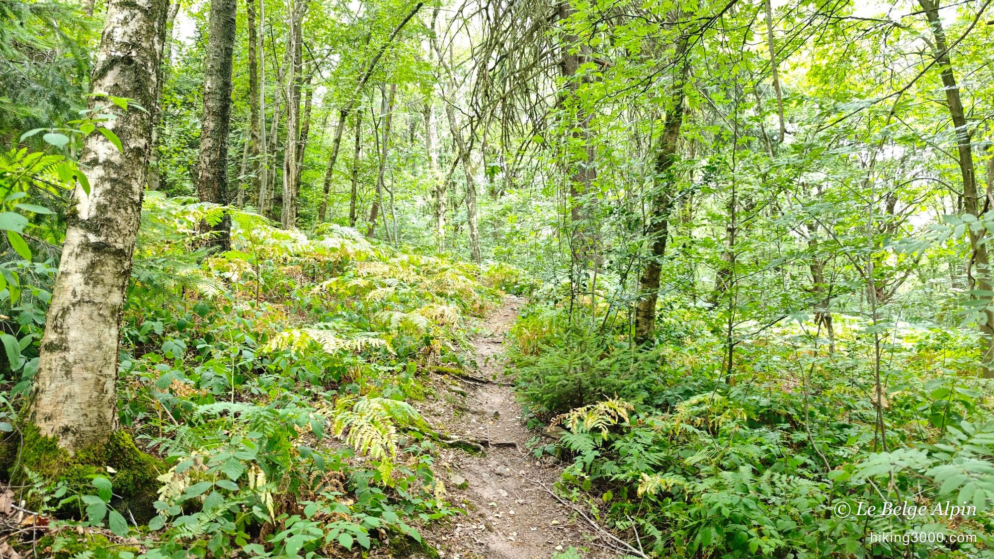
The result strings together bocage meadows, maize fields and thick undergrowth, with a few good openings onto the valley. There’s this old oak standing alone in the middle of a meadow, which must have watched generations of cows go by. Further on, narrow trails almost drowned in ferns. Nothing spectacular in the alpine sense, but a real feel of preserved countryside, a stone’s throw from home.
Not as simple as it looks
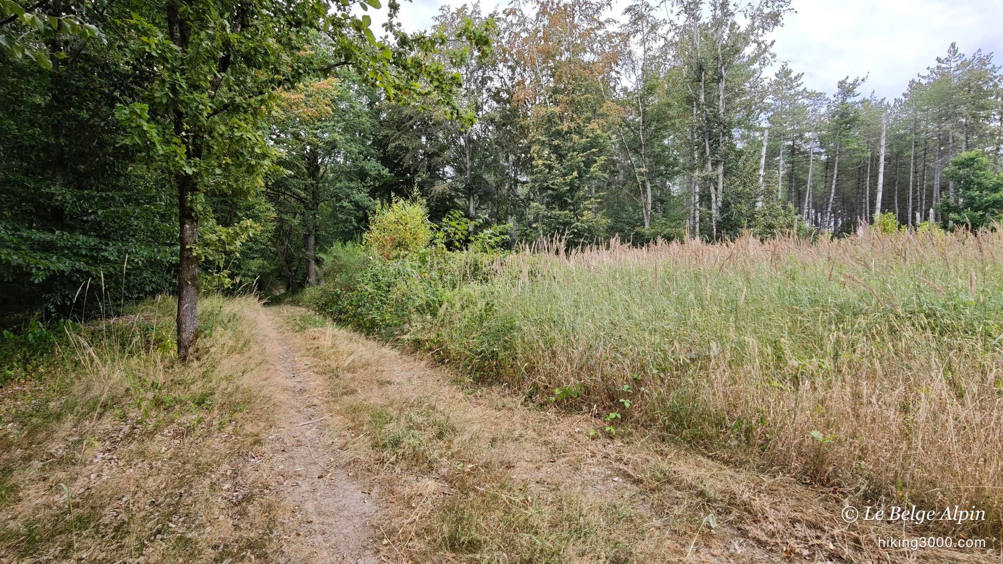
That’s where the loop caught me out. Taking these neglected paths, I hit sections that were flat-out overgrown, where you had to push through the tall grass to get on. At one spot I had to cross a stream whose bridge was gone: over the stones, keeping my balance, with the water right below. And then there’s that valley where the drop, followed by the climb back up, gave my legs a proper warm-up.
We’re a long way from a serious mountain hike, let’s not get carried away. But it’s no after-lunch stroll either. Even here at home, the weather can change things: a good storm turns a dirt trail into an ice rink, and the stream stones get treacherous after rain. Nothing nasty if you stay alert.
One word, as always when you walk through a lived-in area: stay discreet and respectful. Don’t park in front of a field entrance, don’t cut across a meadow, and if a local says something to you, be cool, it’s their home. That’s also how you tell a hiker from the area apart from a passing tourist.
🥾 Practical notes
- 15.75 km for 453 D+: reckon on a solid half-day, this isn’t a walk you improvise after coffee.
- GPX track essential: no waymarks, a personal route that zigzags between the woods.
- Shoes that grip: growth, dirt, and a stream to cross on the stones.
- Water and a snack: no resupply anywhere on the route.
- Spring or early autumn ideally, when the trails are clearer.
If you like this kind of wild loop plotted away from the crowds, take a look at the Werbomont loop, not far off at Ferrières, or the Harre loop, further south in the big woods of Manhay. And if you’re new to this kind of ground, a look at my gear advice never hurts before setting off.
Getting to the start
The walk starts from the village of Sendrogne, on the heights above Sprimont. Park in the village without blocking a field entrance or a farm track, and the loop quickly slips off towards the meadows and the woods. Nothing here is official or waymarked: it's a route of my own, so grab the GPX track before you set off.
Please respect local rules:
- Never park in front of a field entrance or on private property.
- Do not block farm accesses.
- Stay discreet, especially early in the morning or late in the evening.
- And if a local says something, keep it friendly: it is their home.
Gallery
9 photos, click to enlarge
Garmin track
Full recording of the outing: GPS track, elevation, speed, heart rate when available.
Downloadable GPX track
Download the GPS track to import it into your watch or app (Garmin Connect, Komoot, Gaia GPS...).
Sign in to downloadWeather, Sprimont
Animated maps and real-time forecasts
Even in Belgium, the weather can turn a quiet outing into a rough day. A big thunderstorm in the forest is never pleasant (and sometimes dangerous), thick fog can easily disorient you, and a good downpour turns trails muddy, slippery and exhausting.
Questions fréquentes
Is this just an easy stroll?
+
On paper it looks like one. In practice, 15.75 kilometres and 453 metres of climbing make for a solid half-day on foot. The real catch isn't the distance, it's the ground: I plotted the loop off the usual paths, and some sections are overgrown or need a bit of care. Bring water and shoes that grip.
Do I really need the GPX track?
+
Honestly, yes. This loop is neither waymarked nor official. I drew it myself on a map to avoid tarmac as much as possible. Without the track you'll hesitate at every junction and end up back on the road. The download is available to logged-in users.
Is the stream crossing risky?
+
Not dangerous, but not a comfy footbridge either. At one point the bridge is gone and you cross on stones, keeping your balance. In dry weather it's straightforward, after rain the stones get slippery. Take your time and watch where you step.
When is the best time to go?
+
Spring and early autumn. In high summer the path edges close in fast and the growth makes some sections less obvious, which is exactly what I ran into in July. From April to June, then September and October, the trails are clearer and the light on the meadows is lovely.