
From the back of the Arreau valley in Ariege (946 m), a long and rarely traveled hike to Pic des Redouneilles. 1600 m of elevation gain, 30 km, high-altitude lakes, barely marked paths, a wild Ariege like they don't make anymore.
Another fine ascent in the Pyrenees, in Ariege this time. It’s the second year in a row I’ve explored this region with a friend. We had come back to bag Mont Valier, which had shut us down the year before, and this was also the chance to climb this summit.
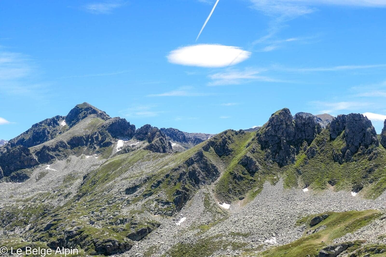
Wild Ariege, no waymarking, no crowds
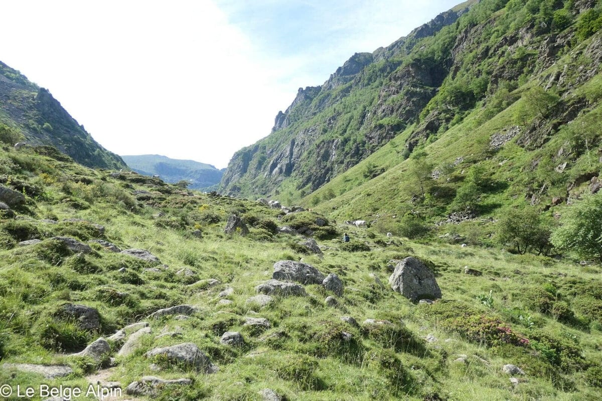

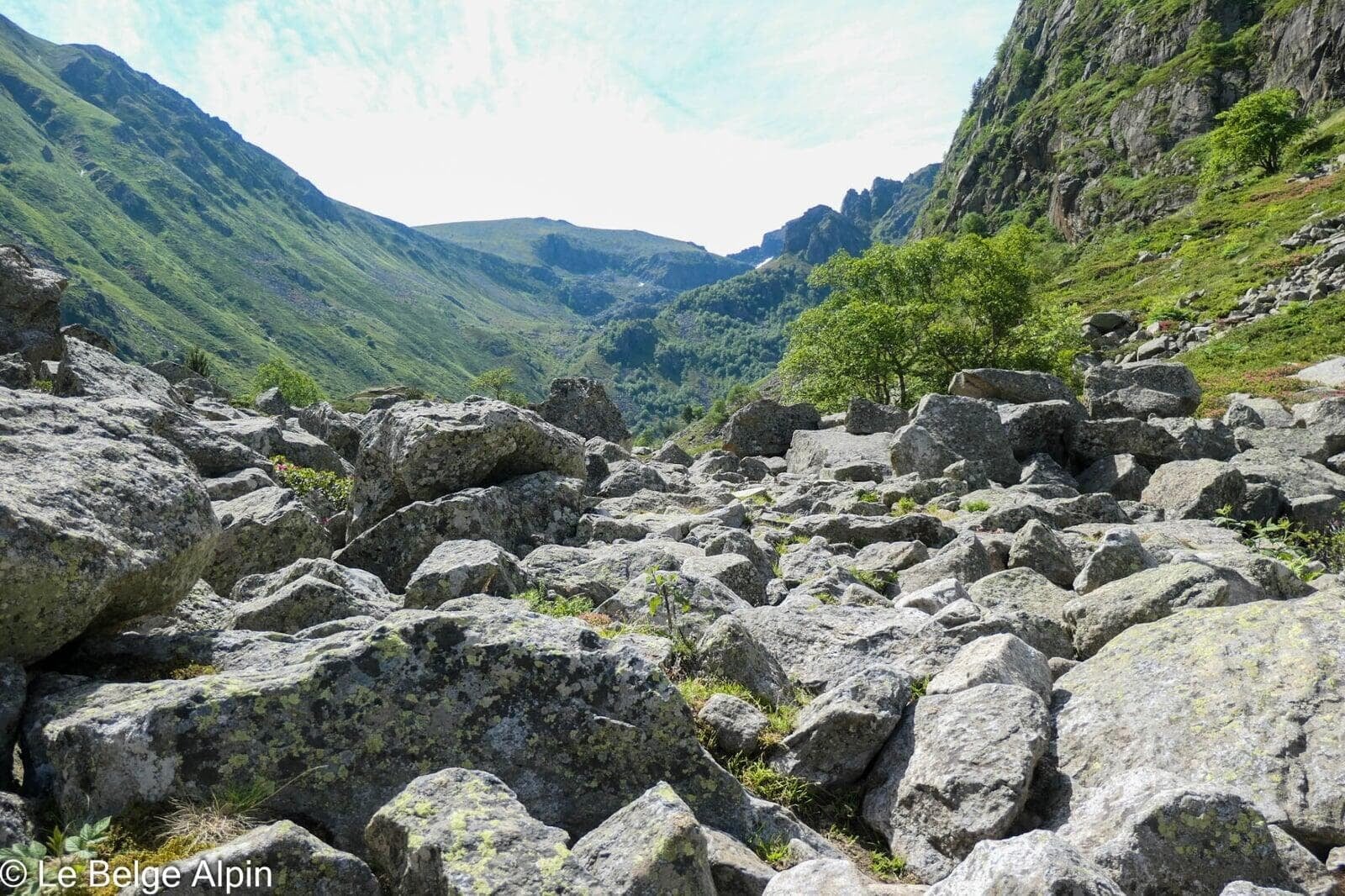
We’re in the heart of wild Ariege, a region where the paths are often poorly marked. It is essential to bring a map, a compass, an altimeter or a good GPS tracking app. We did this hike in early July and crossed paths with more vipers than hikers. In 35 years in the mountains I had only encountered three vipers, and that day I saw three in a single day. I’ll admit, I’m not particularly fond of these crawling creatures.
The sense of being somewhere else is total here. Nature is preserved, and mass tourism hasn’t yet reached this region. Trails are sometimes barely marked, reclaimed fast by vegetation.
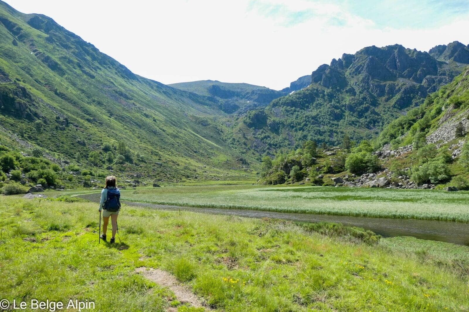
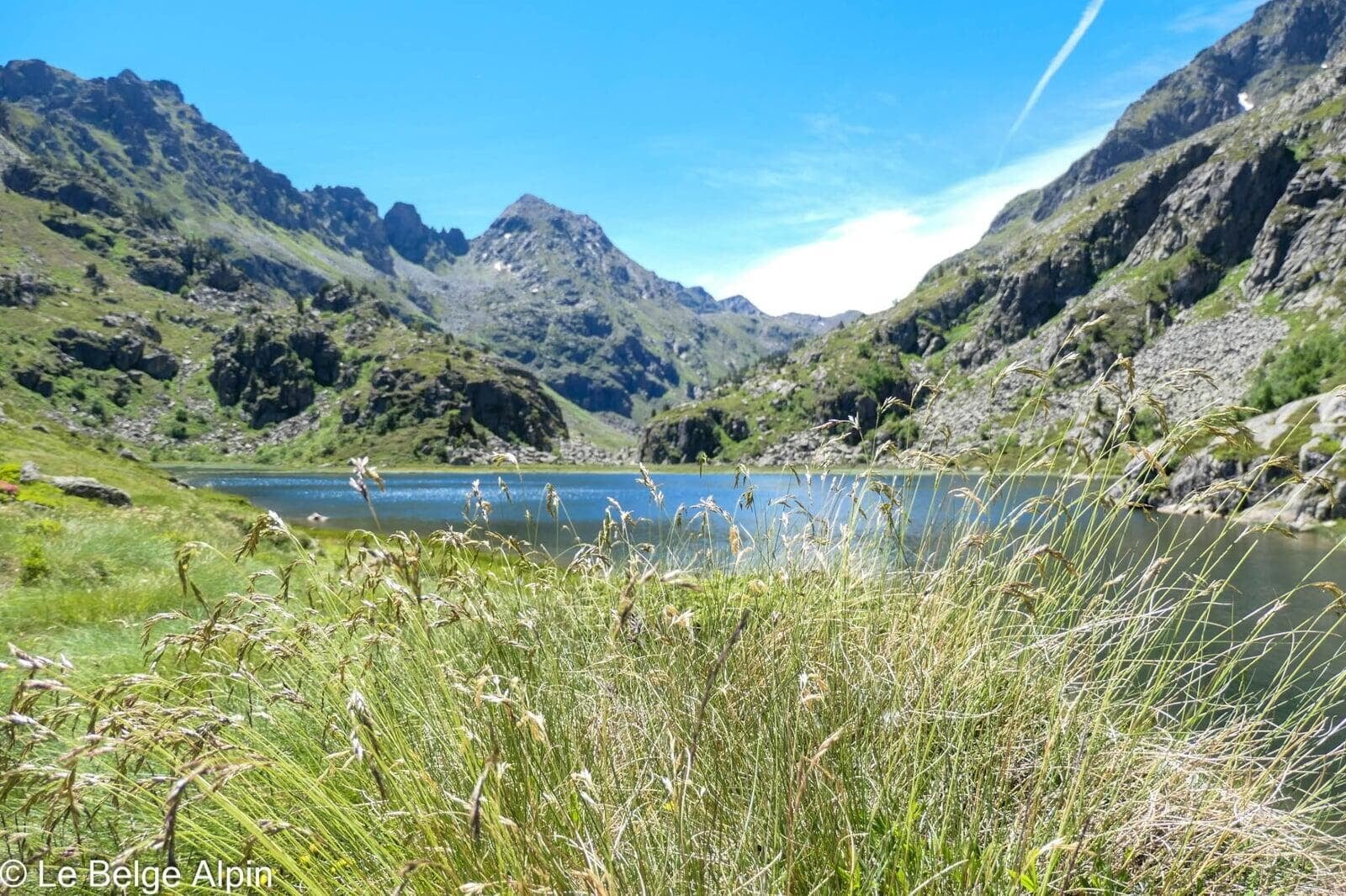
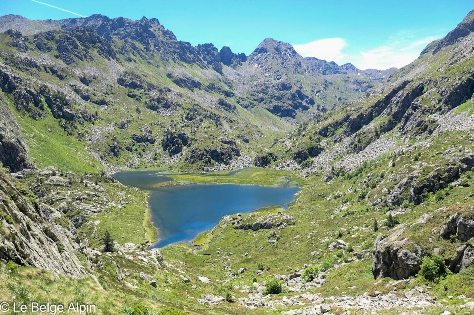
High-altitude lakes, quiet break

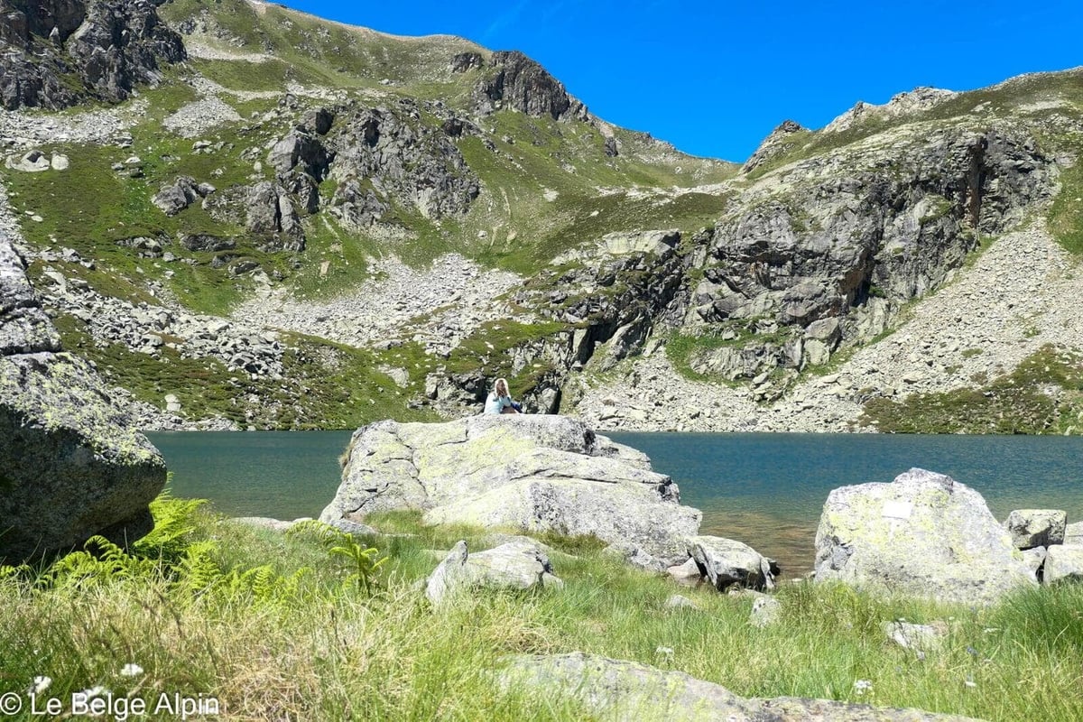
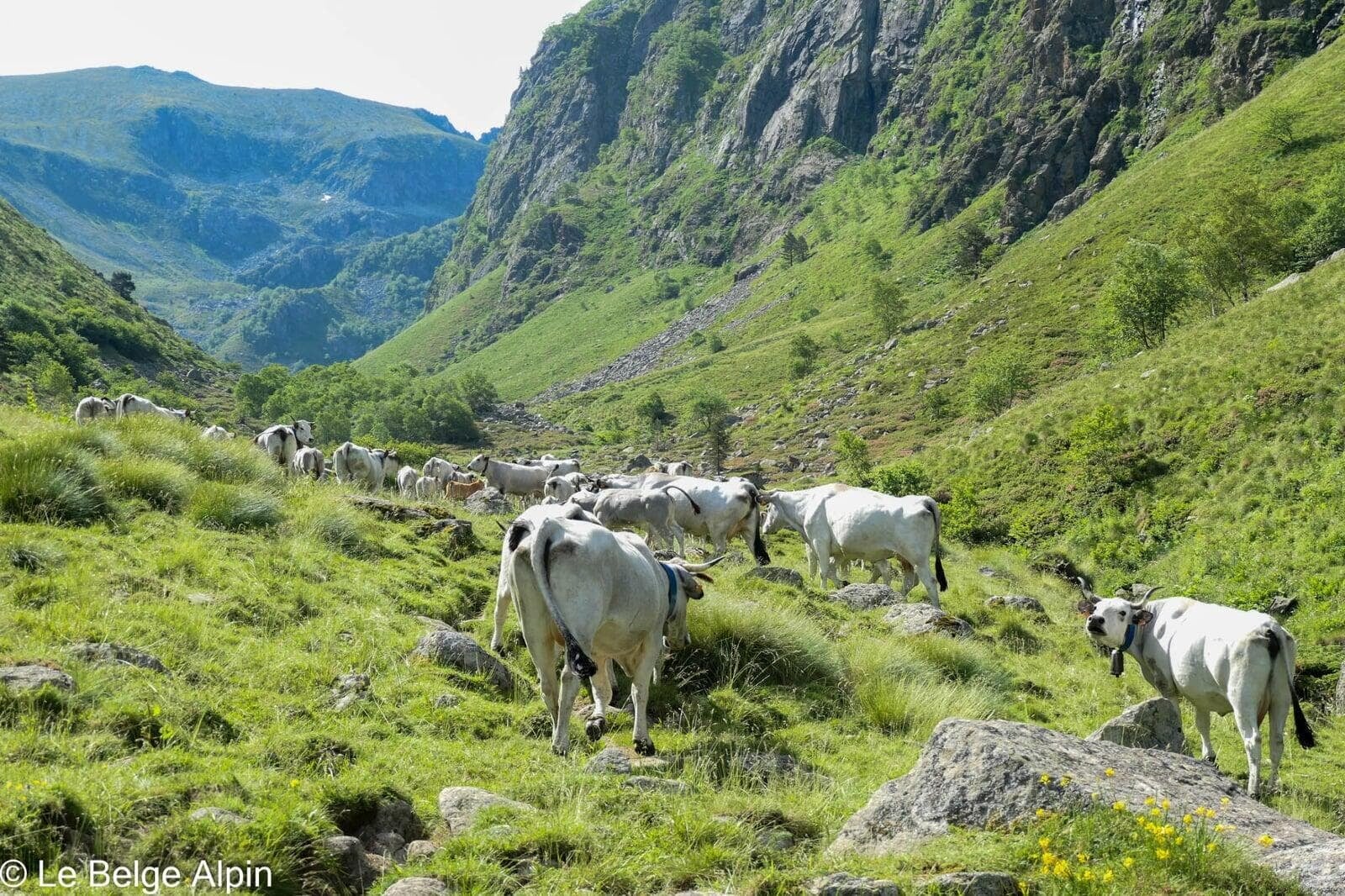
The middle part of the route alternates steep climbs through scree and flat stretches at the lakes, those Pyrenean waters that seem dropped there like mirrors. No one around, silence broken only by the wind and the cowbells far below. A real breather in the middle of the climb.
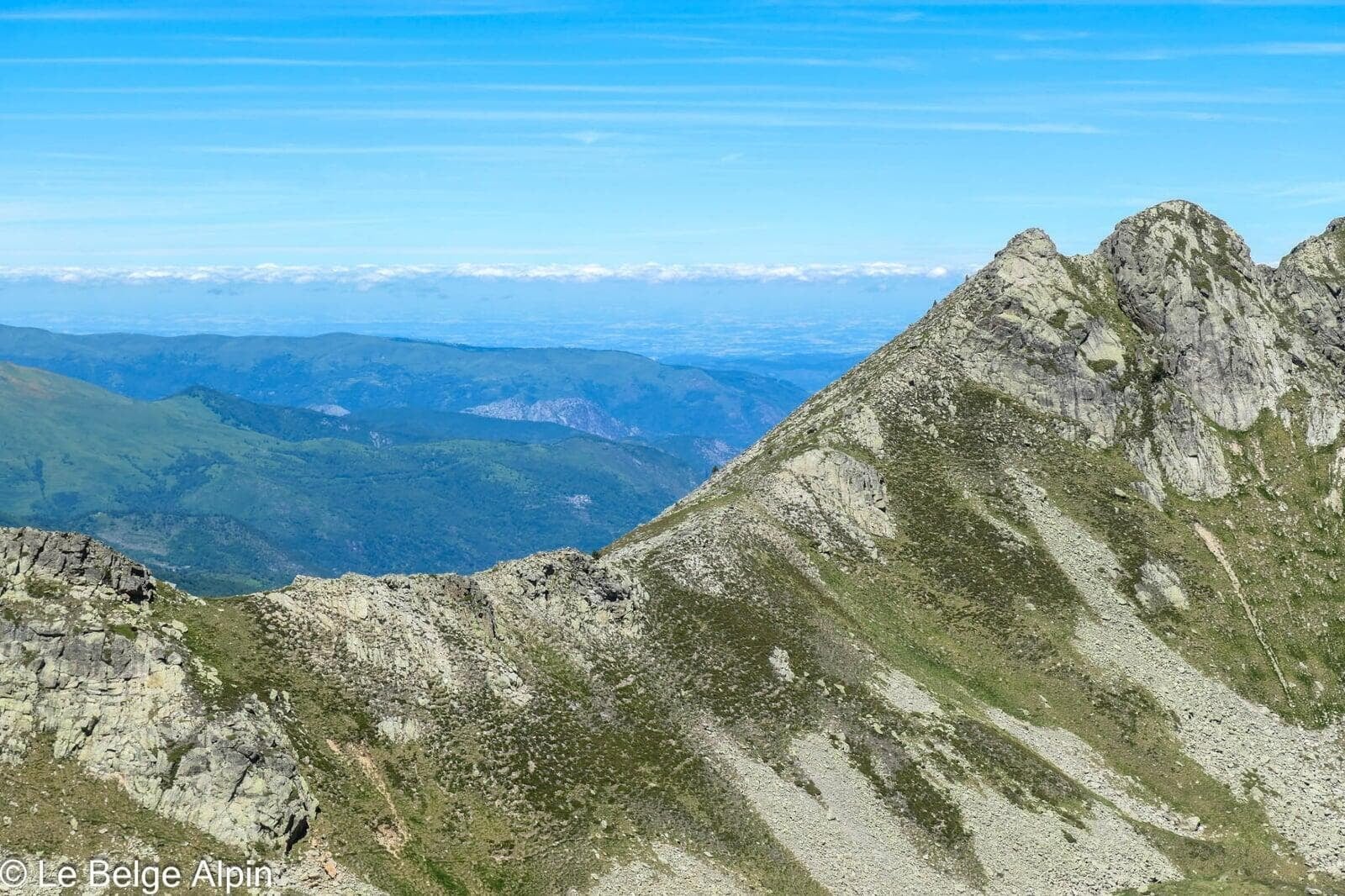
Summit and panorama, the reward
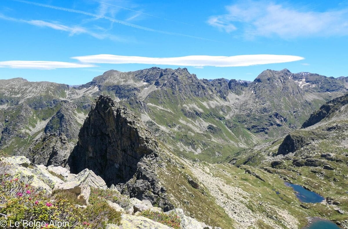

At the summit, Pic des Redouneilles des Vaches offers a wide view over the upper Ariege, with the Toulouse plain to the north on a clear day. Nothing spectacular in isolation, but the completely wild atmosphere makes all the difference: you’re alone, far, high, and you can feel that few hikers come through here.
Practical info
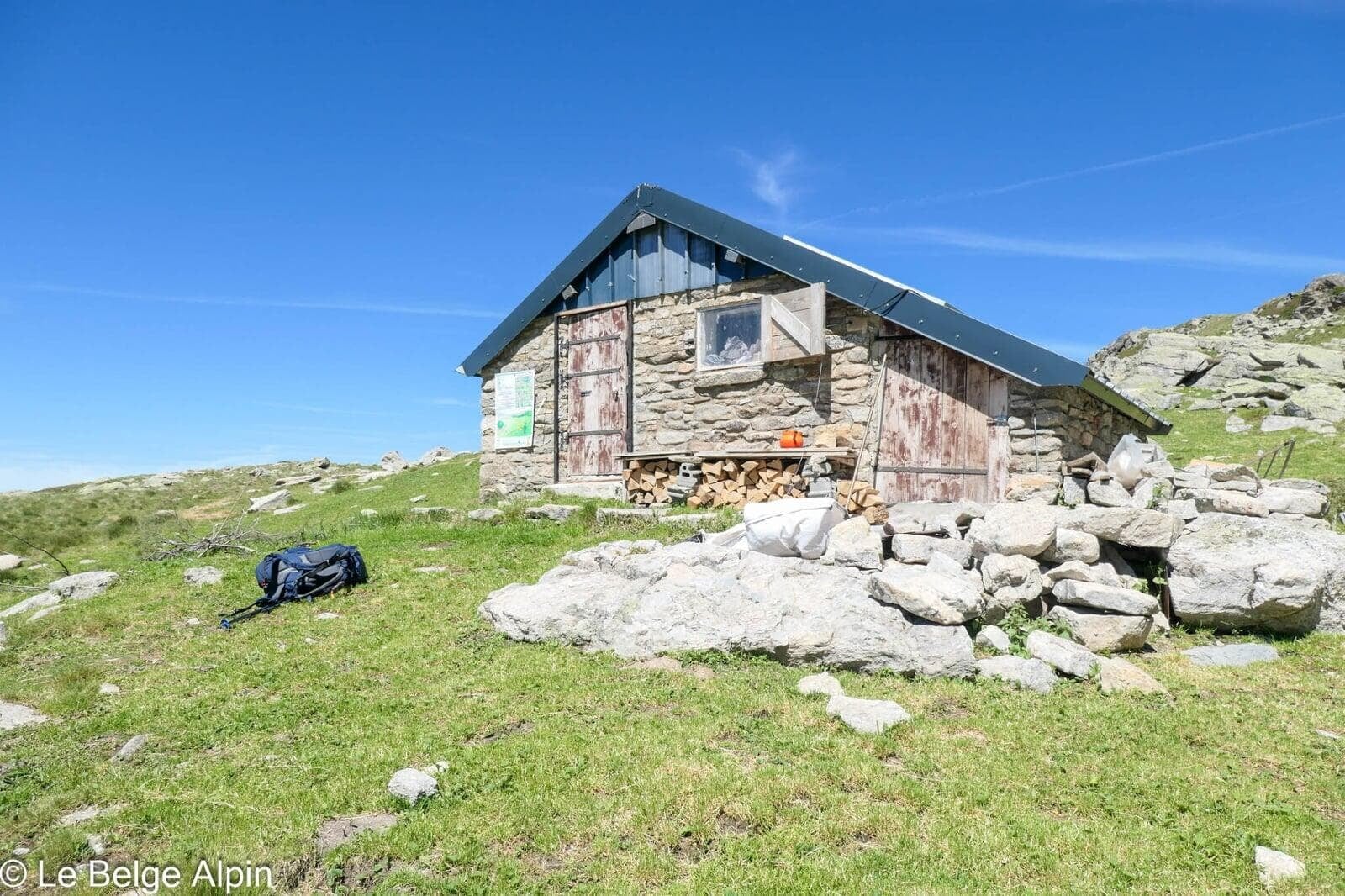
1600 m of gain over 30 km in a single day with no hut on the route. That’s a lot. If you’d rather not climb all the elevation at once, you can bivouac (easy spot near the intermediate lakes). Keep in mind that the difficulty of the trails and routes can make the hike quite tiring and complicated, serious navigation is required.
For conditions and trail state (tall grass, vipers, rocky sections), call the Vallees d’Ax Tourist Office. In dry summer conditions it flows, in wet weather the vegetation gets genuinely slippery.
Practical info
Starting point
From Tarascon-sur-Ariege, reach Siguer then climb the valley to the back-of-valley parking lot (946 m). Drivable track, narrow. Modest parking lot, rarely full because the route puts people off: 1600 m of gain, 30 km, few people.
GPX track
Import the GPS track into your watch or app (Garmin Connect, Komoot, Gaia GPS, Iphigenie...).
Sign in to downloadTourist office (current conditions)
Office de Tourisme des Vallees d'Ax, Tarascon
Tarascon-sur-Ariege, 09400
Garmin track
Gallery
11 photos, click to enlarge


Weather, Siguer
Conditions and forecasts for the itinerary
In the mountains, conditions change fast. A thunderstorm can become dangerous, fog disorients, residual snow slows every step. Before leaving, check the bulletins, plan a stable weather window, and when in doubt, call the tourist office or the local guides office.
Learn to read mountain weather →Questions fréquentes
Is this a hike for beginners?
+
No. The technical level stays moderate, but 30 km and 1600 m of gain in a day with no hut on the route is a big day. You need endurance, a solid sense of orientation (cairns are rare), and backup gear if you go solo.
Do I really need to worry about vipers?
+
The zone is known for its asp viper population. In 35 years in the mountains I'd only crossed 3 total, and I saw 3 in a single day here. High-top boots recommended, trekking poles useful to make noise ahead of you, stick to the clear paths. Don't put your hands under rocks.
Can I bivouac on the route?
+
Yes, the route lends itself to it, flat grassy ground near the intermediate lakes, water sources close by. Bivouac in the strict sense (arrive at sunset, leave at dawn, no fire, leave no trace). It lets you split the outing in two.