
From the Anglade trailhead (816 m), a 2-day ascent of Pic de Crabere (2630 m) with an overnight at the FFCAM Refuge de l'Etang d'Araing. 34 km total, 2100 m of elevation gain, a short off-trail section on the return. A big alpine hike, rarely traveled, made for anyone who loves the Couserans in its raw state.
After a previous loop in the Pyrenees, we headed into the Ariege Couserans with my mountain partner for a target off the tourist track: the Pic de Crabere (2630 m). Rarely traveled, rarely mentioned, but 2100 meters of elevation gain that demand respect. We chose a two-day format to enjoy the setting and split the effort.
July 8 and 9, 2024. The Anglade parking lot, at the end of a track above Sentein, is almost empty when we arrive. Good sign. That’s the Couserans for you: you feel alone quickly, wildlife isn’t skittish, and the mountain keeps a rough edge you no longer find in busier ranges.
Day 1, climb to the Refuge de l’Etang d’Araing
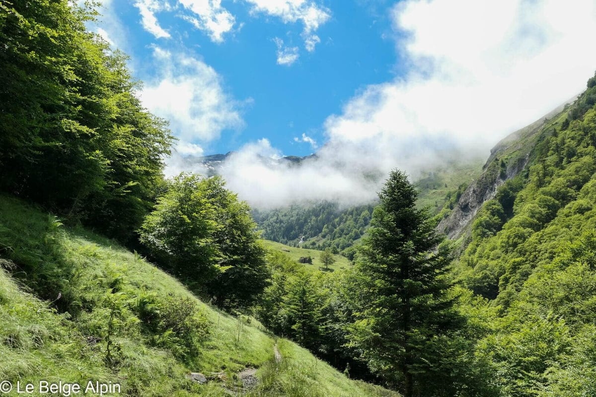

The first day is a solid warm-up: about 10 km and 1200 m of gain to reach the Refuge de l’Etang d’Araing at 1965 m. The trail climbs steadily through the forest, then gradually opens onto alpine pastures. Nothing technical, but the pack is loaded (sleeping bag, overnight gear, food for two days), and July heat makes the climb physical the moment you step out of the shade.
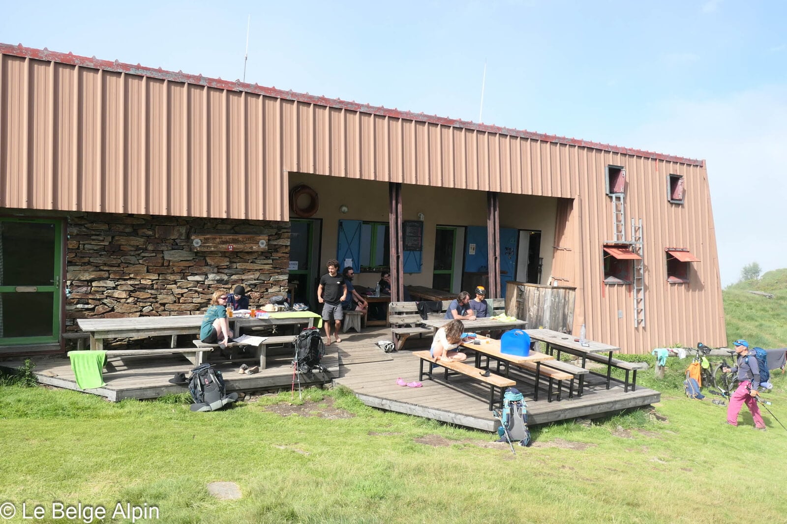
The FFCAM hut is a small gem. Perched by the lake, staffed by a friendly team, it’s the archetypal Pyrenean refuge: simple setup, communal dinner, dormitory bunks. We spend a mellow evening there, the lake turning orange as the sun drops.
Day 2, ascent of Pic de Crabere

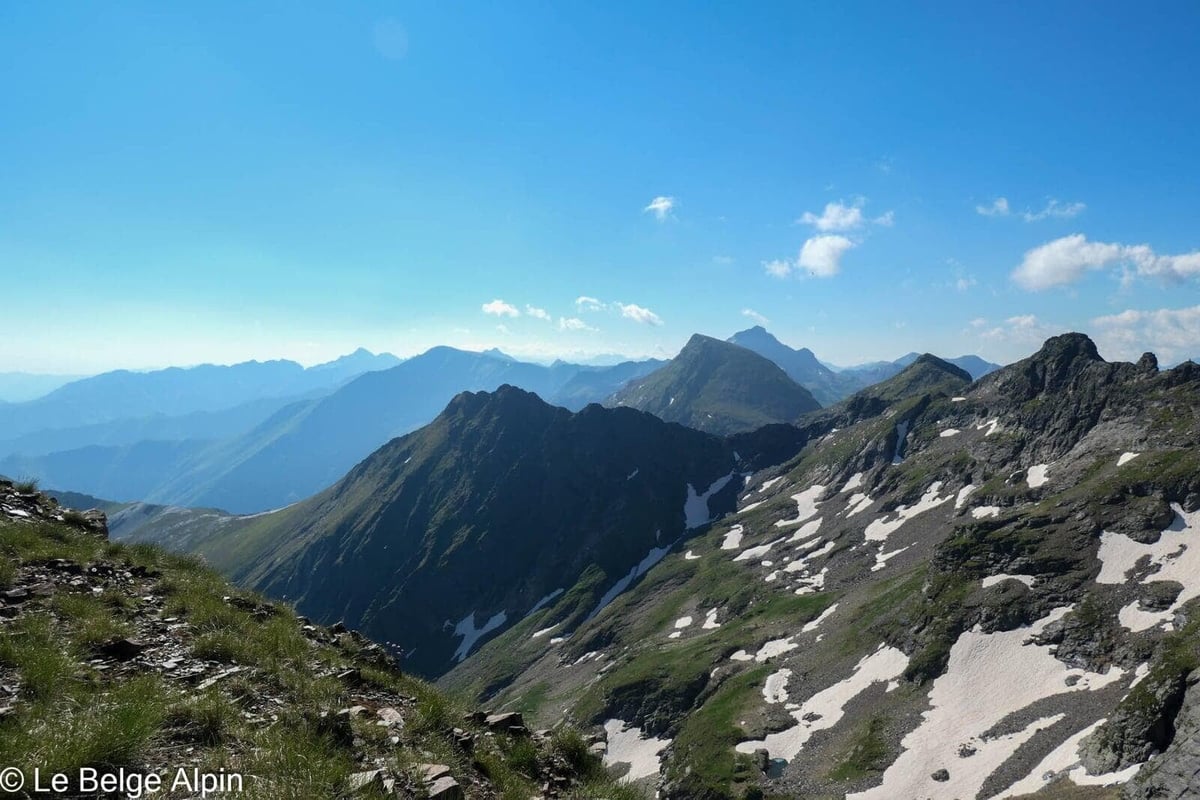
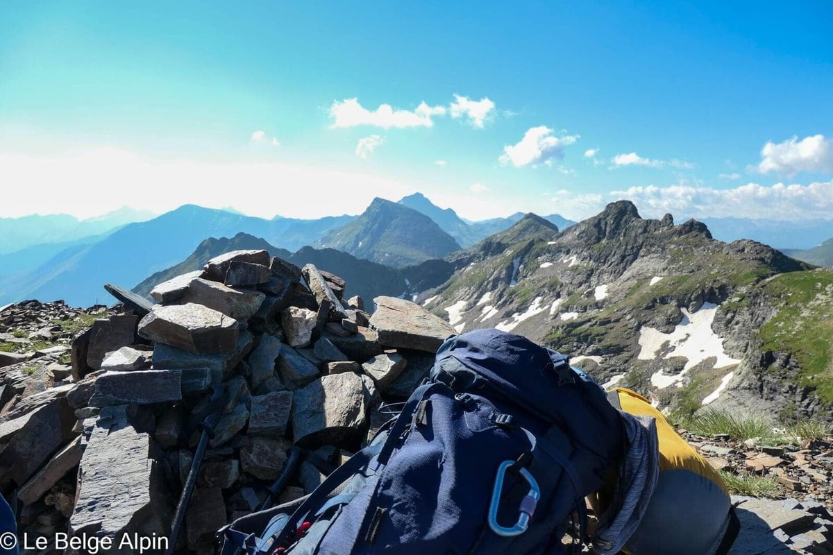
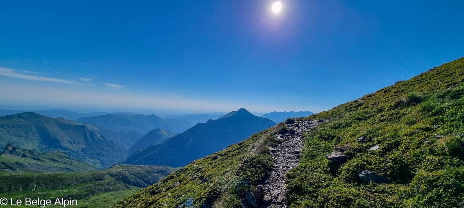
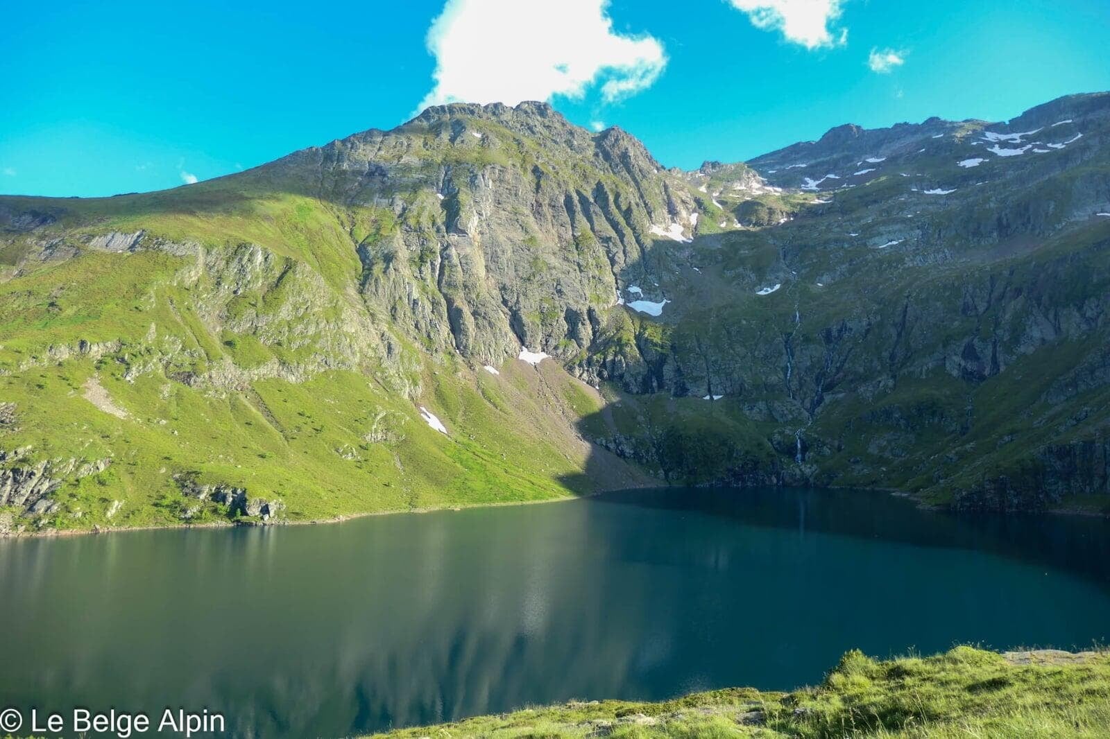
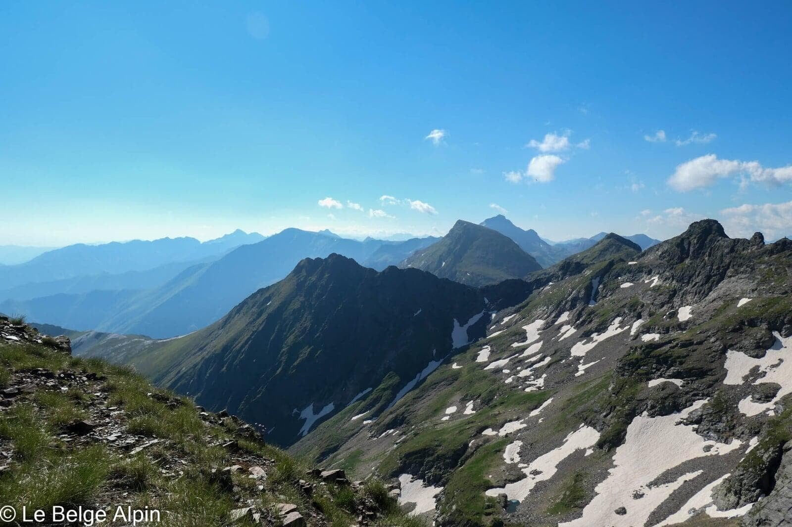
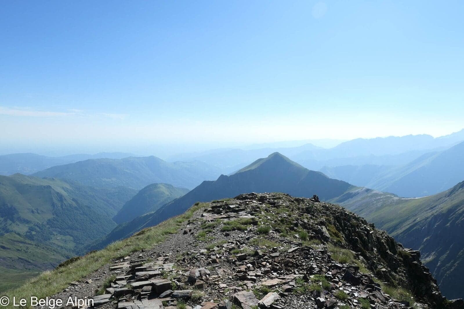
Dawn start. The day will be long: 23 km and another 900 m of gain to reach the summit and come back down to the Anglade parking lot. We first climb above the lake, then follow a well-defined grassy ridge, and the summit slowly comes closer.
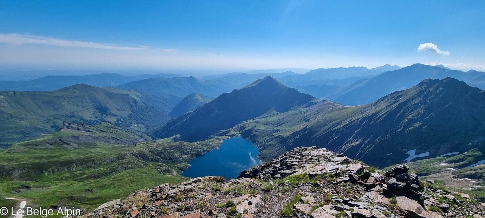
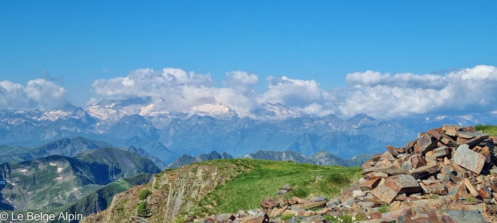
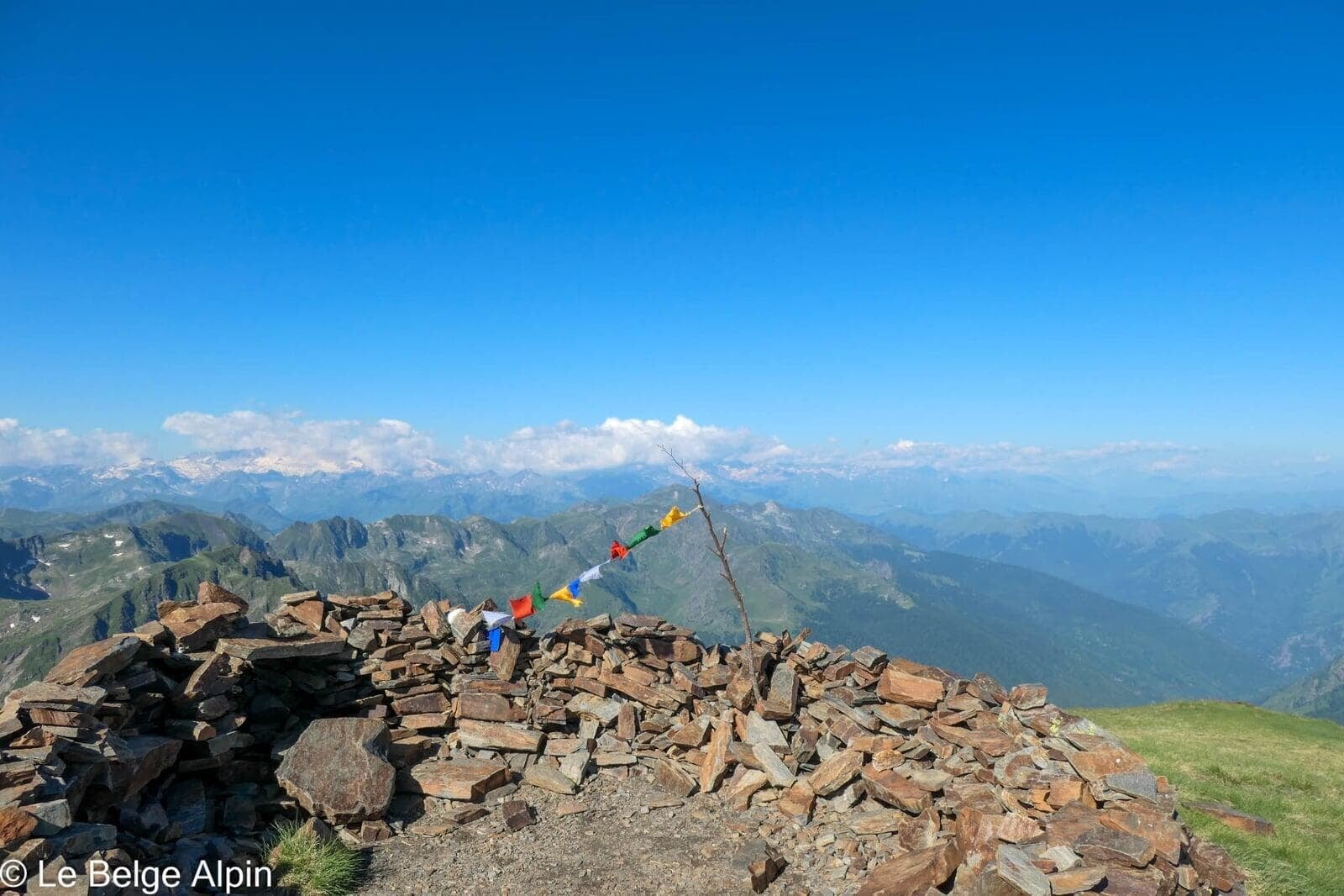
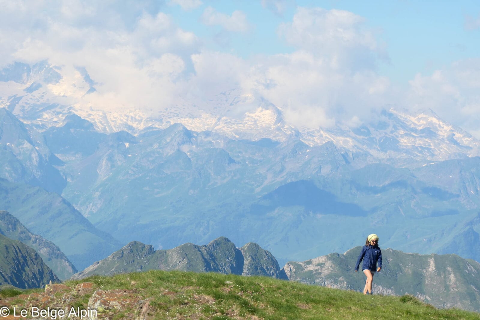
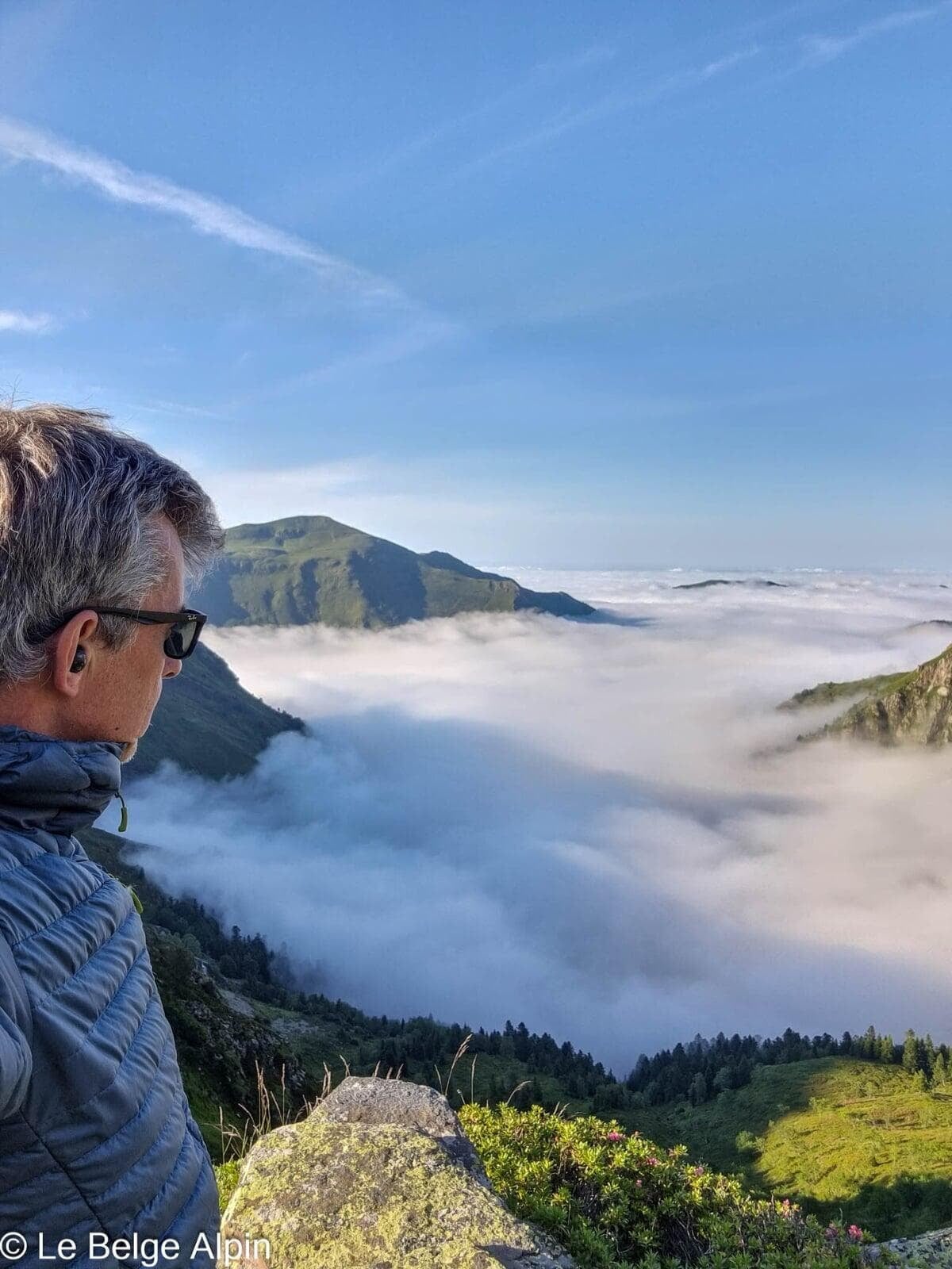
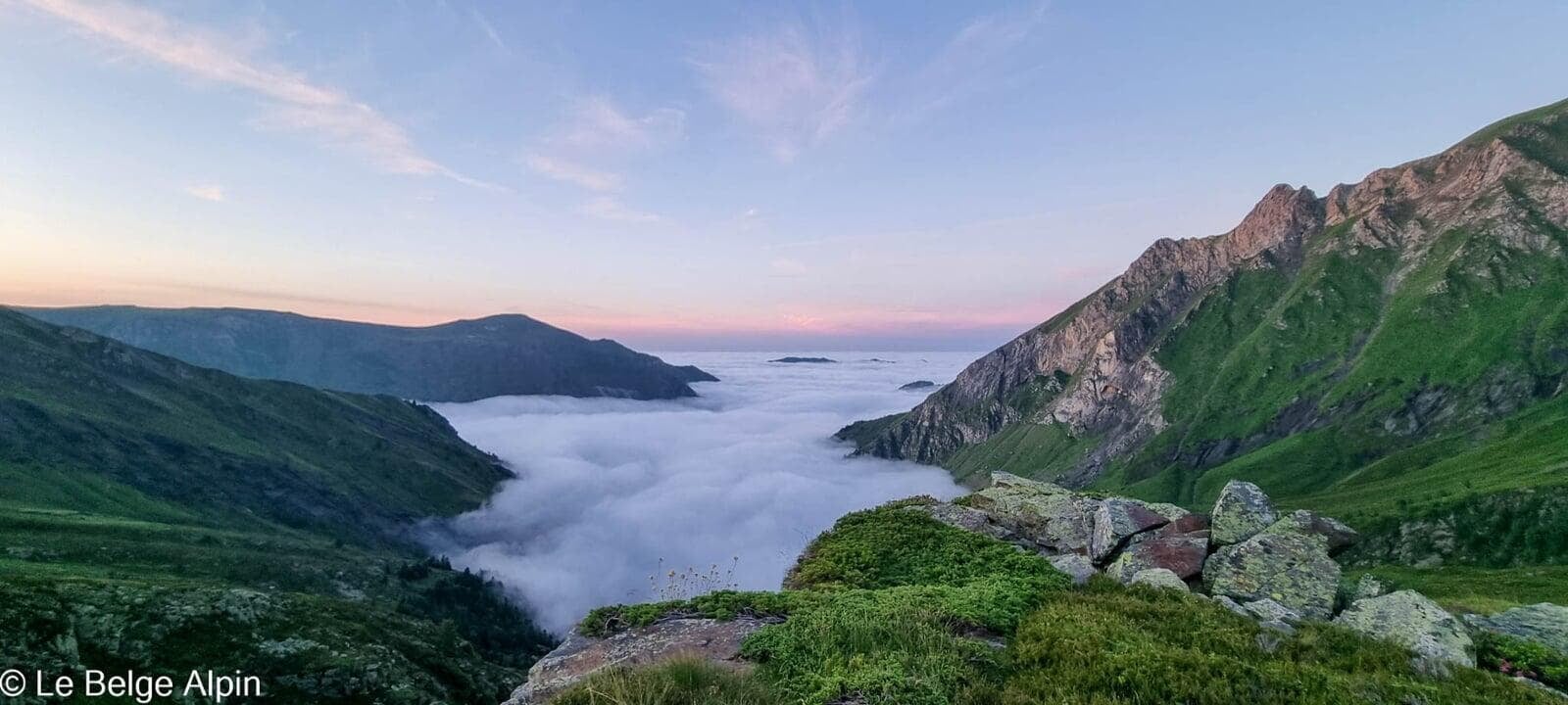
At Pic de Crabere (2630 m), the panorama delivers: the Spanish border range stretched out to the south, Andorran massifs just visible in the distance, and all of the Ariege Couserans spread to the north. No noisy neighbors, no stream of hikers, just quiet enjoyment.
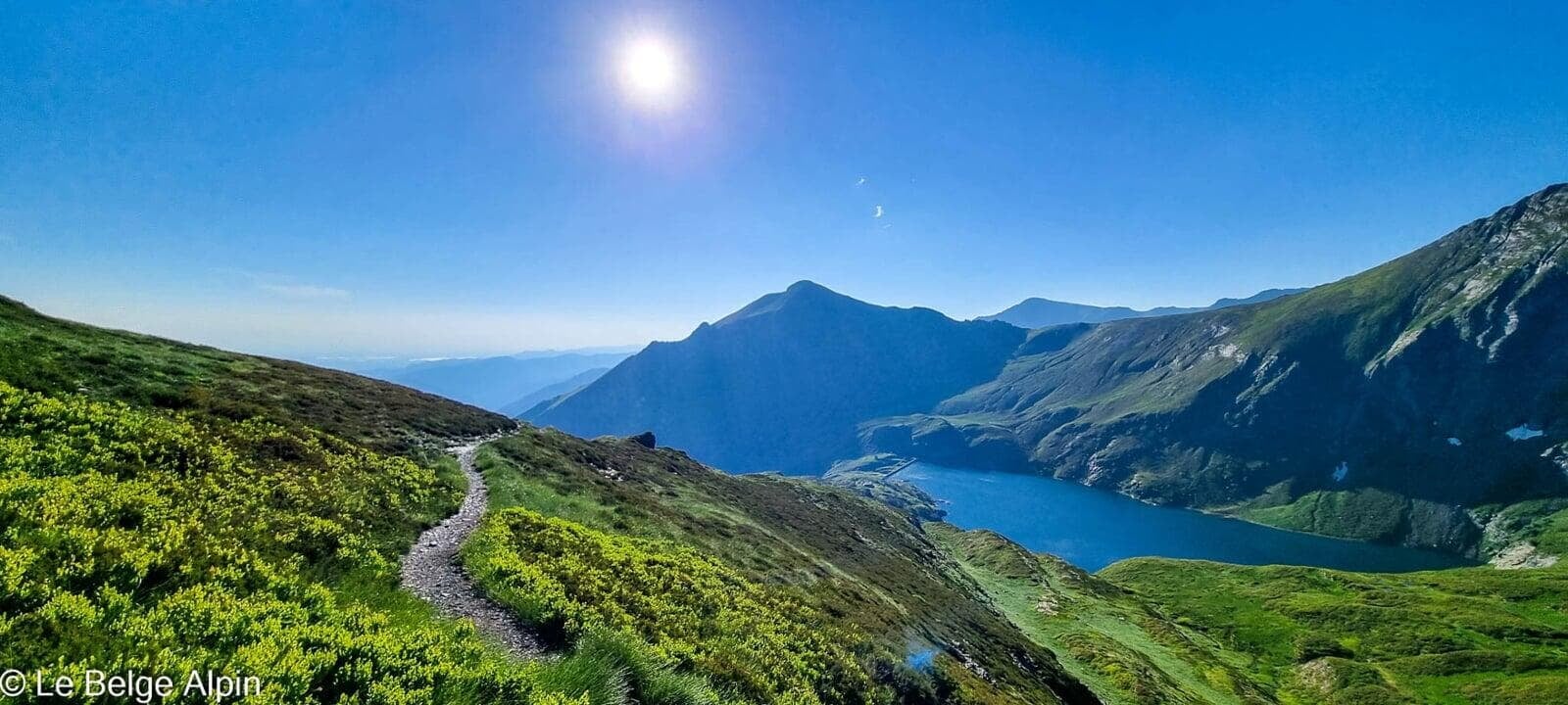
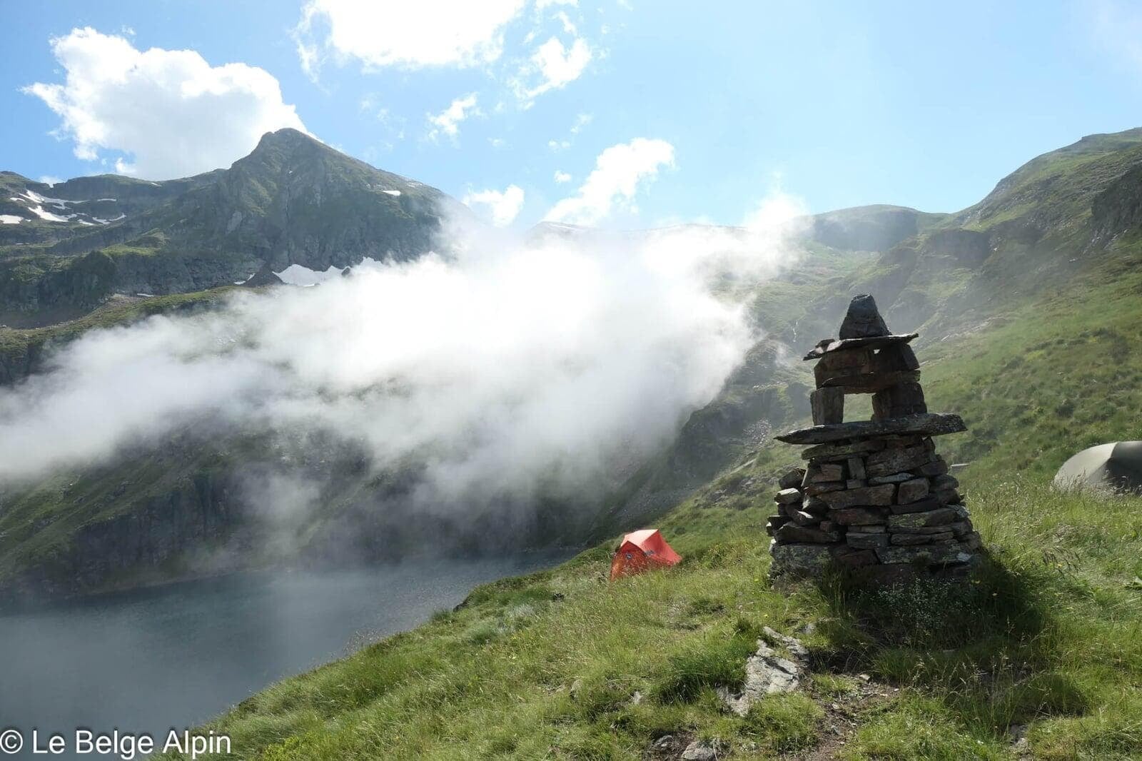
Descent and off-trail section

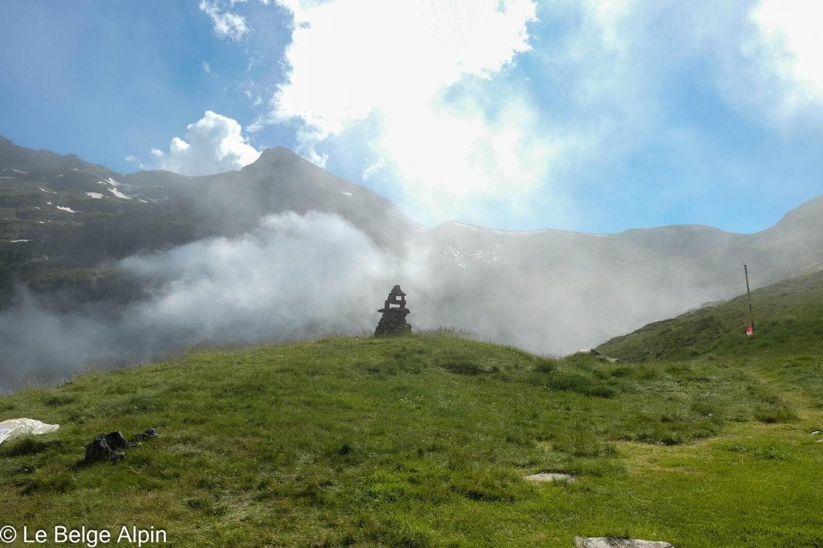
The descent follows an alternate route that loops the lake on the other side. Roughly 200 m of off-trail passage between two paths: not long, but it demands attention, a few cairns mark the zone but they can be wiped out depending on conditions. IGN map or GPS mandatory, especially if mist rolls in.
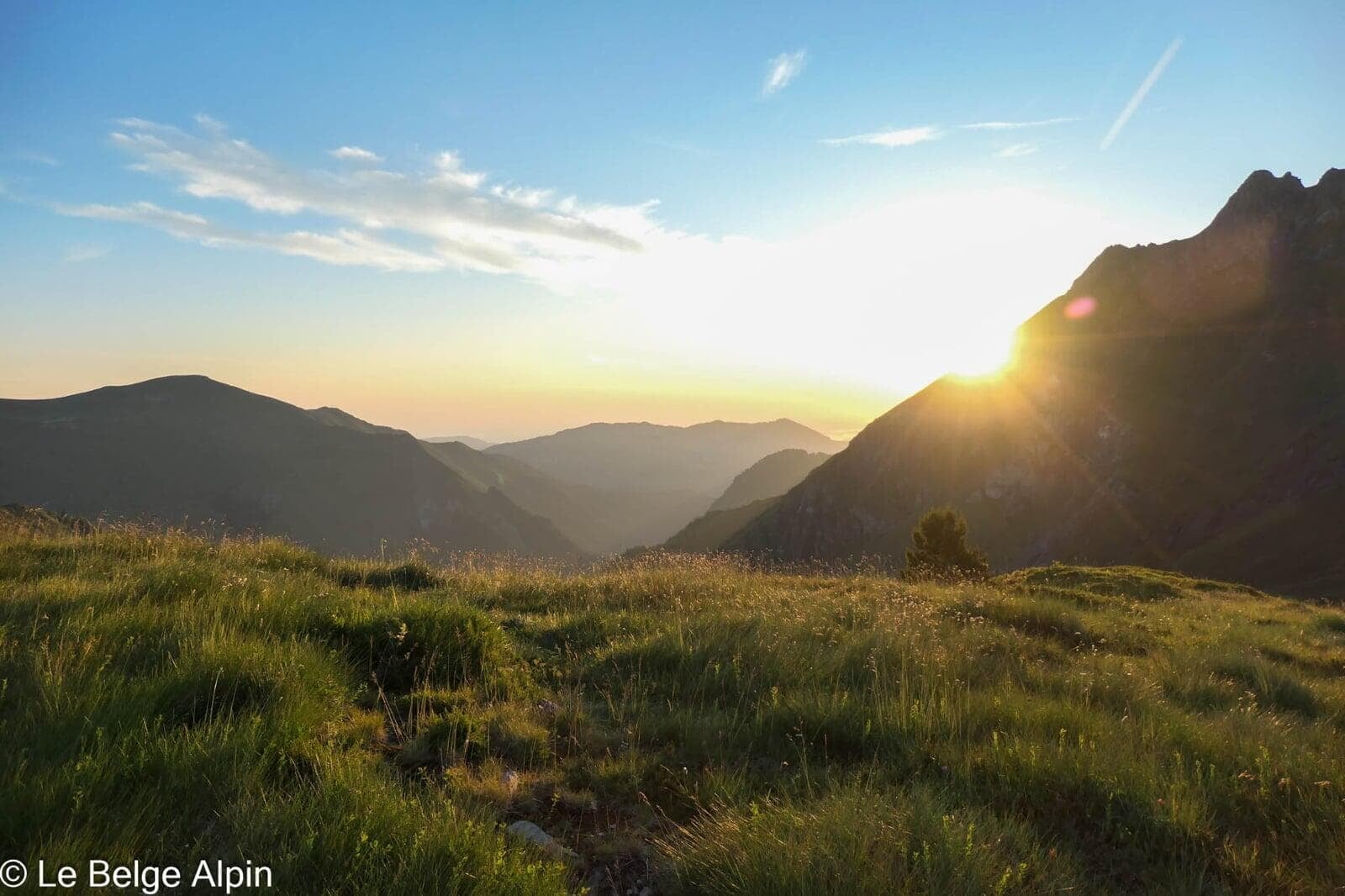
The rest of the descent rolls through gentle slopes, pastures, then forest. End of the loop at the Anglade parking lot in late afternoon, two full days in the legs.
A note on the Couserans, a place apart in the Pyrenees
The Couserans has that wild, confidential quality you lose elsewhere in the Pyrenees. Fewer drivable tracks, fewer resorts, fewer people. It’s still a zone of Pyrenean brown bear presence, you almost never see them, but you know they’re around, and that changes the atmosphere. At the hut, the wardens will happily share recent season sightings if you ask.
Before you go
For up-to-date conditions (Anglade track access, residual snow, hut availability), a call to the Refuge de l’Etang d’Araing or to the Couserans-Pyrenees Tourist Office is worth it. They know the ground and relay info precisely.
For those who want to do the loop in a single day: it’s possible but reserved for strong, well-conditioned hikers, 34 km and 2100 m of gain in one push, pre-6am start mandatory.
To go further
- Understanding FFRandonnee E/T/R ratings
- Gear for an overnight in a hut
- Pic de Crabere is part of the Couserans range, within the Ariege Pyrenees, at the heart of the Ariege Pyrenees Regional Natural Park.
Practical info
Starting point
From Saint-Girons, reach Sentein via the D4 (about 30 min). Cross the village and continue on the mountain track to the Anglade parking lot (816 m). The last stretch is narrow but passable in a low car in dry weather. Free parking, rarely full even in summer.
GPX track
Import the GPS track into your watch or app (Garmin Connect, Komoot, Gaia GPS, Iphigenie...). Two-day hike, two separate tracks.
Sign in to download (2 GPX files)Mountain huts
Refuge de l'Etang d'Araing (FFCAM), 1965m
Ideal halfway stop. Staffed from mid-June to mid-September. Reservation strongly recommended in high season. Communal dinner, authentic mountain atmosphere.
Tourist office (current conditions)
Office de Tourisme du Couserans-Pyrenees
Place Alphonse Sentein, 09200 Saint-Girons
Garmin track
Gallery
17 photos, click to enlarge


Weather, Sentein
Conditions and forecasts for the itinerary
In the mountains, conditions change fast. A thunderstorm can become dangerous, fog disorients, residual snow slows every step. Before leaving, check the bulletins, plan a stable weather window, and when in doubt, call the tourist office or the local guides office.
Learn to read mountain weather →Questions fréquentes
Pic de Crabere in 1 or 2 days?
+
The sensible choice is 2 days with an overnight at the Refuge de l'Etang d'Araing (1965 m), which splits the 2100 m of elevation gain into two manageable stages. In 1 day you need to be in solid shape: 34 km and 2100 m of gain between dawn and dusk, with no margin for weather or fatigue.
How hard is it really?
+
An alpine hike with no major technical section, but a roughly 200 m off-trail passage between two paths on the return (depending on conditions). IGN map, compass, or GPS app required. Check for residual snow if hiking early in June.
Do I need to book the hut?
+
Yes in high season (July-August). The Refuge de l'Etang d'Araing is FFCAM, staffed mid-June to mid-September. Tel: +33 5 61 96 73 73. Reduced rate for FFCAM members. Communal dinner, authentic mountain feel.
What can you see from the summit?
+
A 360 degree panorama over the Ariege Couserans, the Spanish border range, and the surrounding Pyrenean peaks. On a clear day you can make out the Andorran and Catalan massifs to the south-west, and the Toulouse plain to the north.
Is the Anglade trailhead accessible year-round?
+
By car, yes in dry weather. The track is narrow but passable in a low car. In winter and early spring, the track may be closed due to snow, check with the Couserans tourist office before setting out.