
From L'Artigue in the Ariege (1600 m), the mythic traverse of Montcalm (3077 m), Pique d'Estats (3143 m, highest point of Catalonia) and Pic Verdaguer (3128 m) as an option. 2400 m of gain in one day, or split with a night at the Refuge du Pinet. Three border 3000s with a 360 degrees view over the Ariege and Spain.
Another fine climb in the Pyrenees, in the Ariege. This ascent dates from 2023, it’s no longer that fresh in my mind as I write these lines, but I’ve kept an unforgettable memory of it.
Easily one of my greatest hikes of 2023. With 2400 metres of elevation gain in one day, it’s a real physical challenge, especially on top of what we had linked up in the previous days.
Climb to the refuge, sleep high
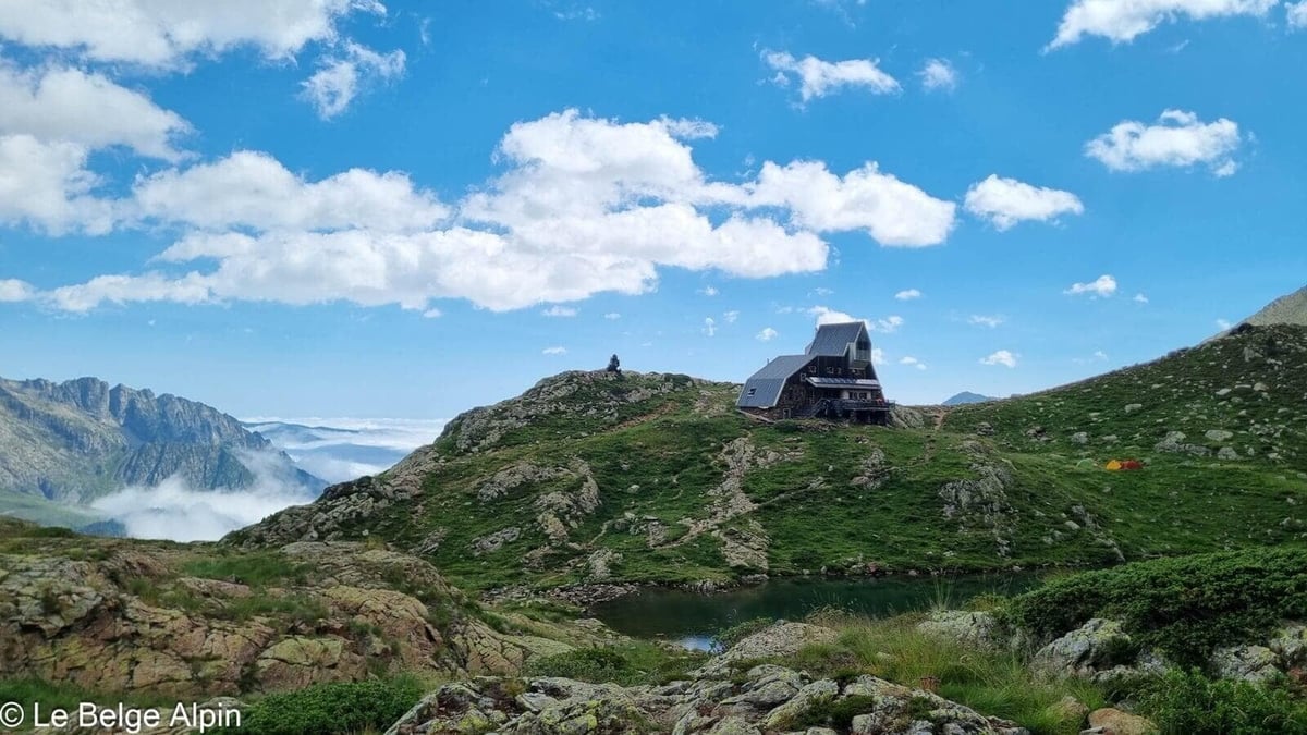
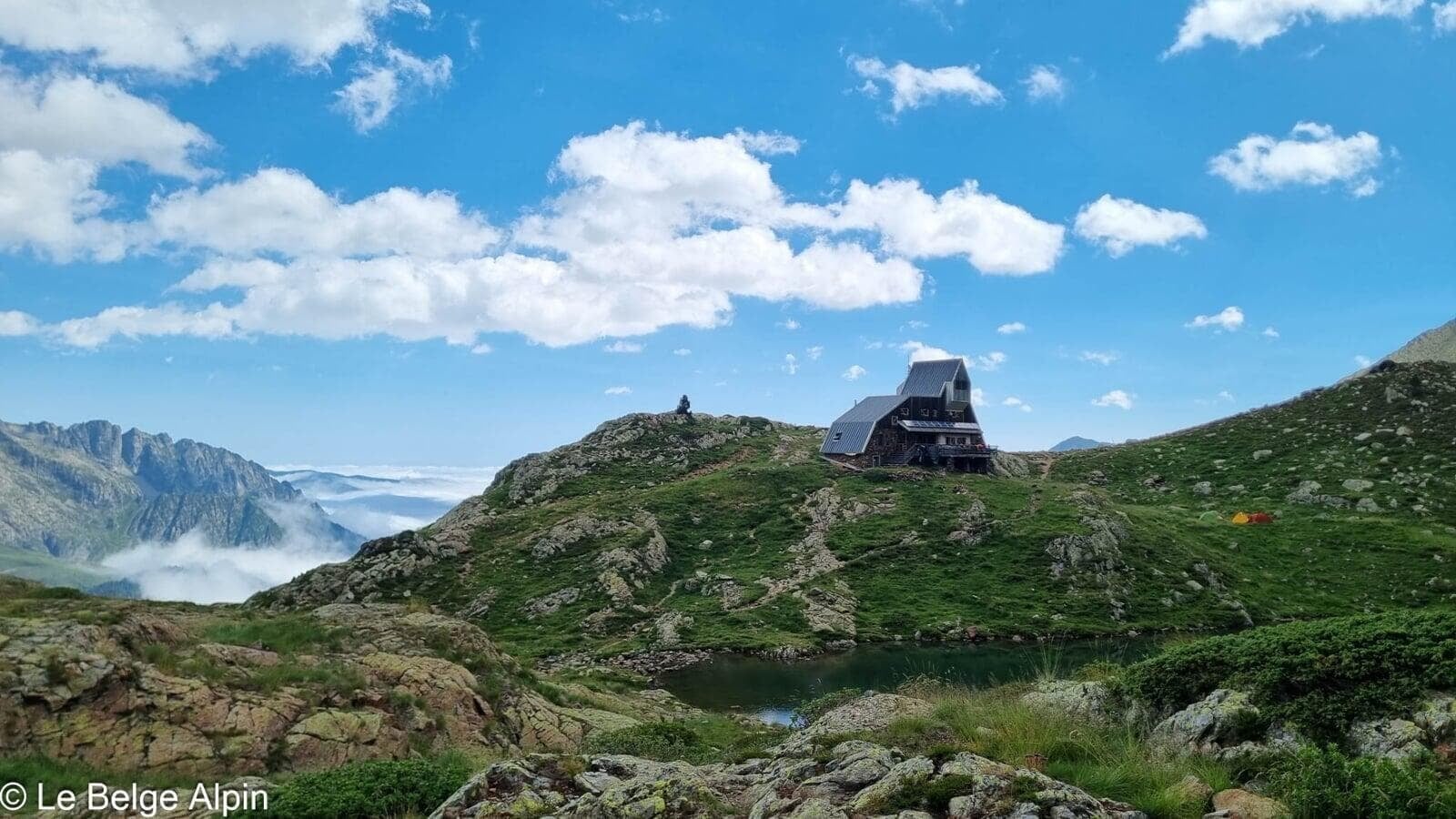
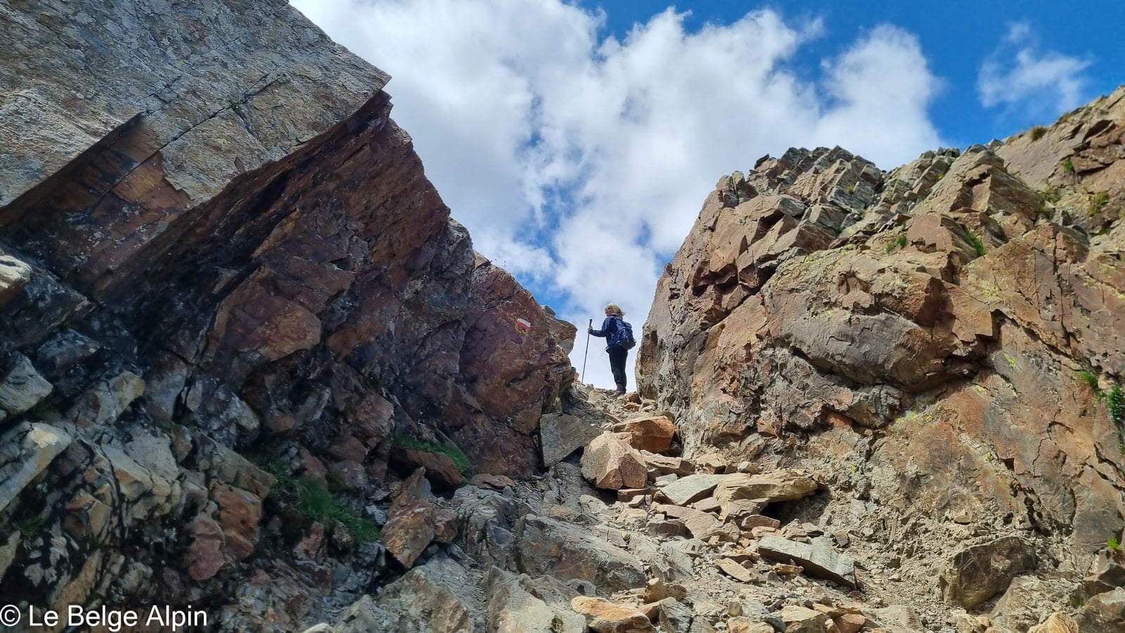
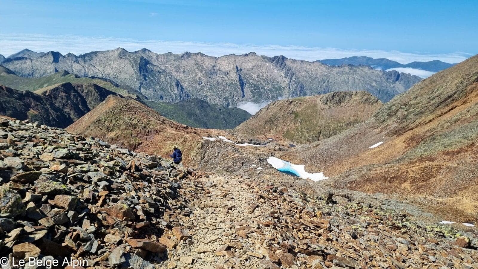
I can only strongly recommend sleeping at the Refuge du Pinet. Even over two days, it remains substantial and physical. The trail is well marked and used, so no difficulty on that front. It is however crucial to check on residual snow, as you climb above 3000 metres and that can complicate things.
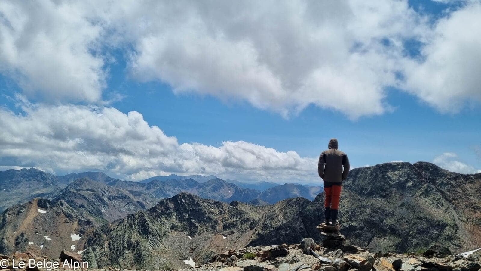
Montcalm, Pique d’Estats and Verdaguer, three summits in one
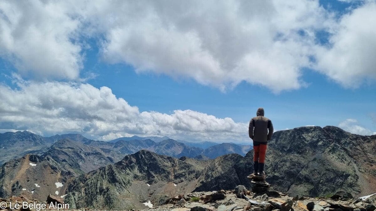
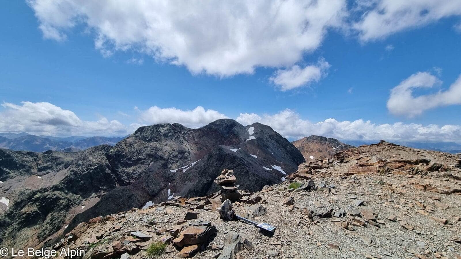
Pic Verdaguer is optional, but it’s a very short detour that lets you bag three summits on the same day. When you’re already up there, you don’t argue: 3000-metre peaks are rare in the eastern and central Pyrenees, and stringing three together gives a particular satisfaction.
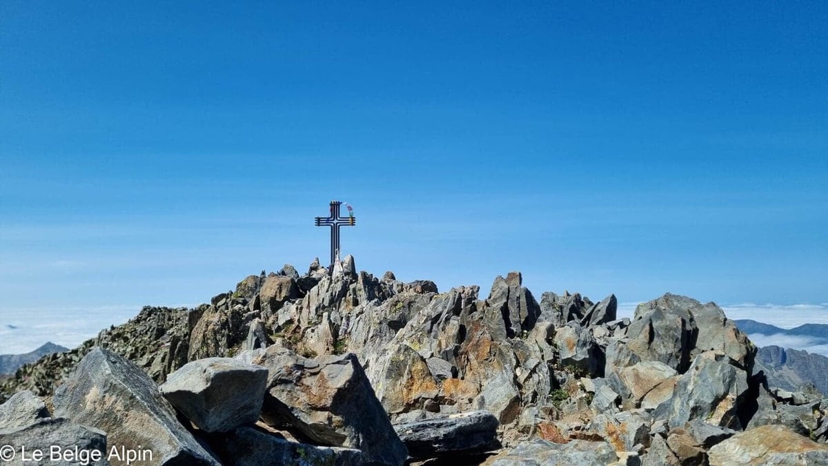
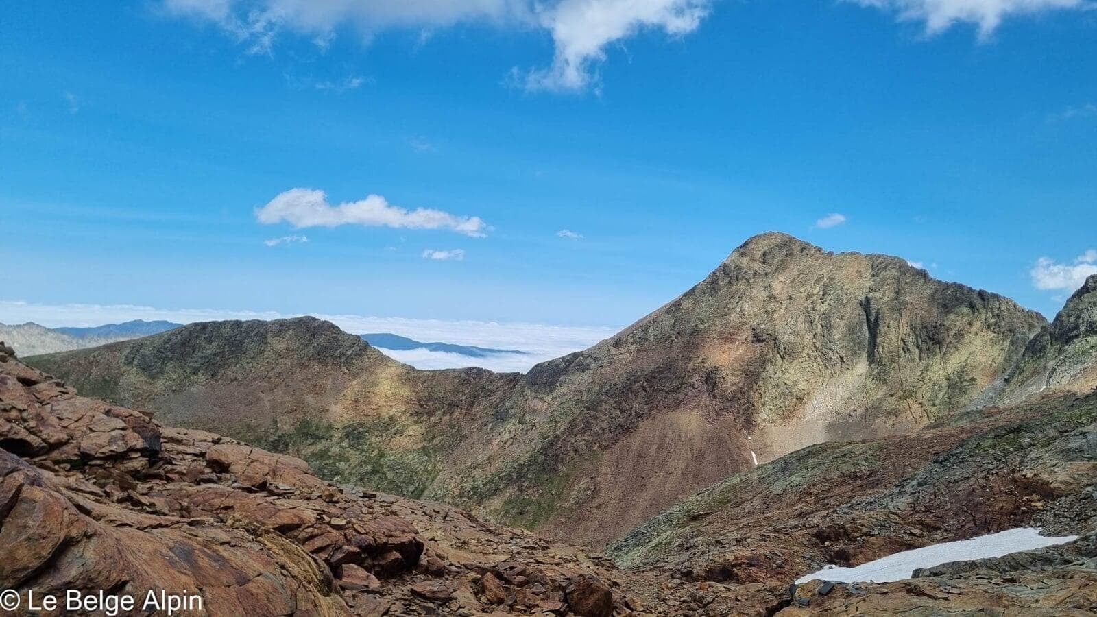
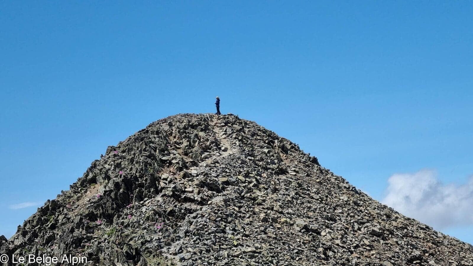
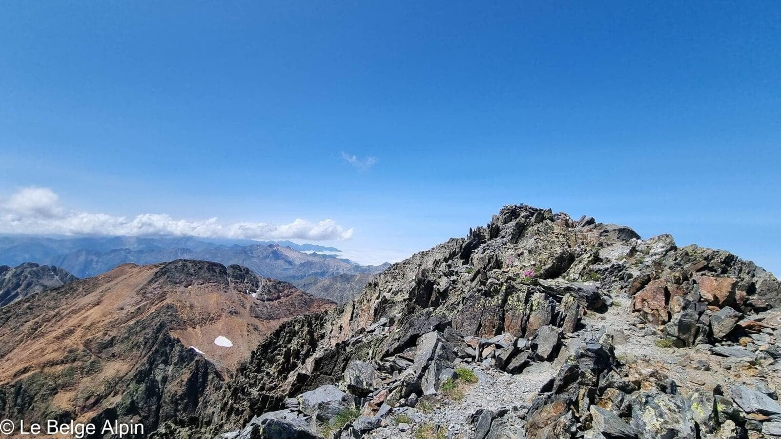
The ridge between the summits is granite, sculpted, without technical difficulty but with enough exposure to remind you that this is high mountain terrain. The Pique d’Estats, the highest point of Catalonia, carries at its summit cross the offerings of pilgrims, ribbons, flags, small items left by generations before.
Descent and return to the refuge

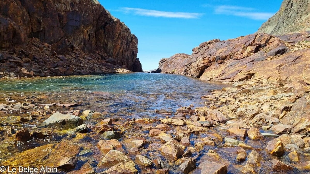
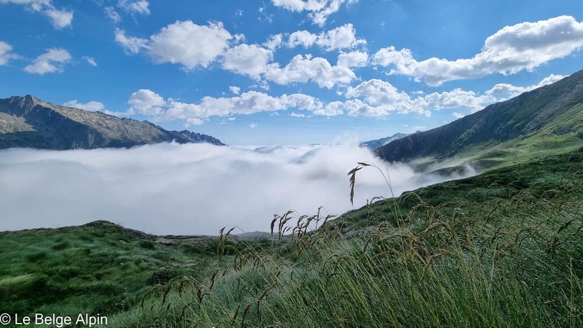
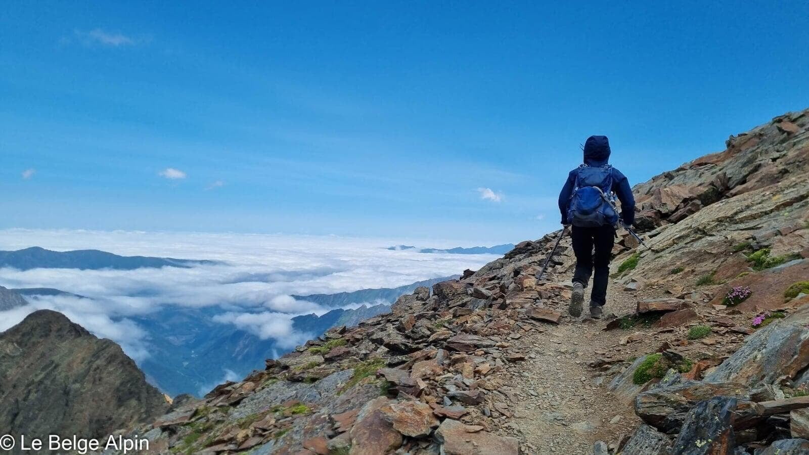
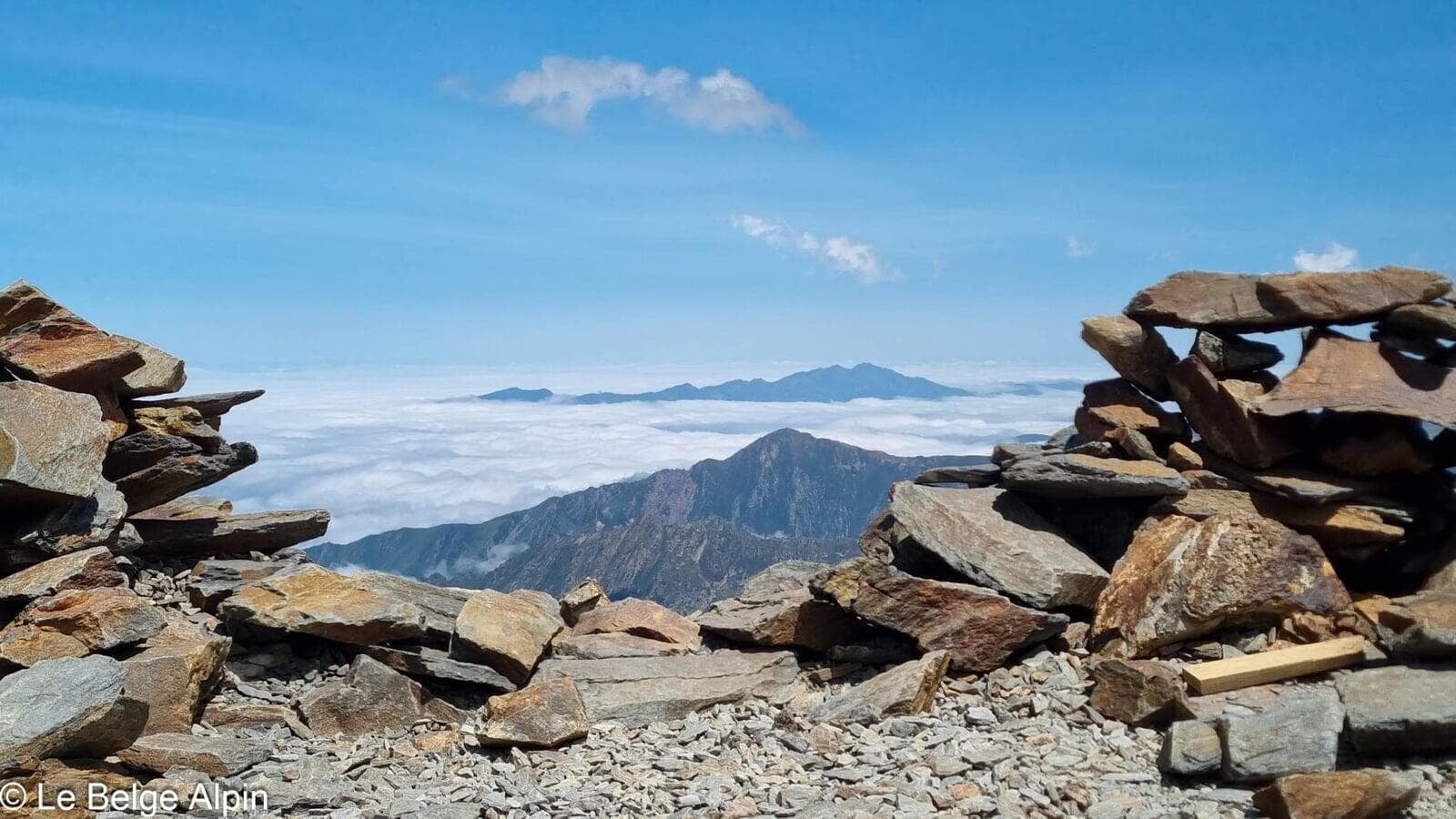
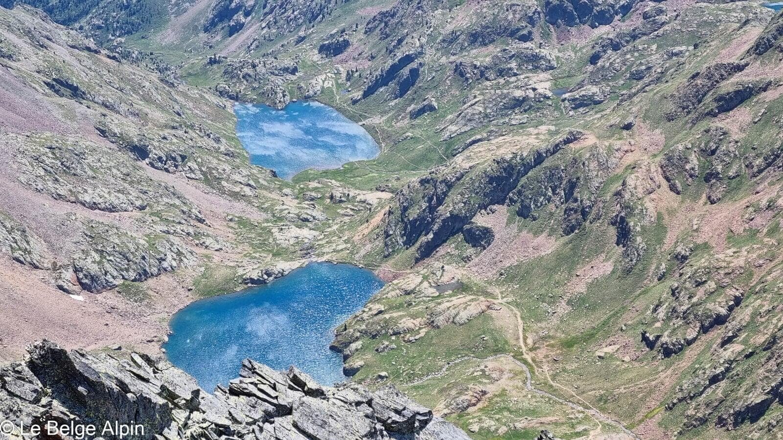
The descent follows the same line, back to the refuge and then to L’Artigue. Lakes are plentiful along the route, some highly photogenic, others more discreet, all inviting a break with your feet in the water.
Practical info
2400 m of gain over 22 km in two days. One of the biggest outings in the Ariege, but technically accessible to anyone with the legs. Sleeping at the Refuge du Pinet is the cleanest way to link this traverse.
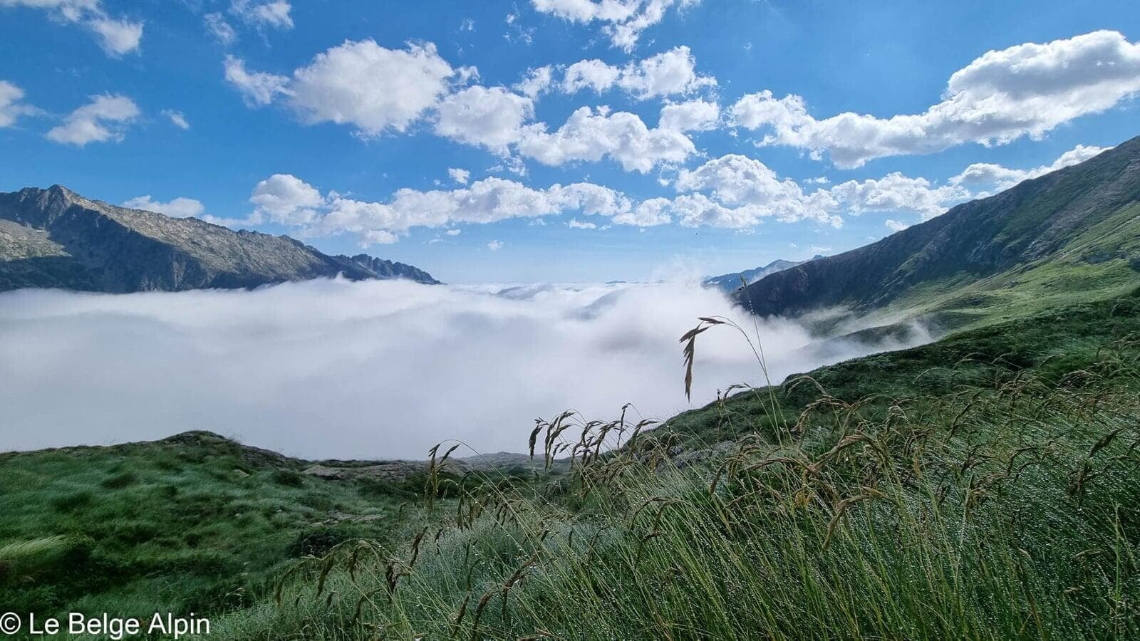
For conditions, a call to the Office de Tourisme des Vallees d’Ax or directly to the refuge warden will give you snow conditions above 3000 m and expected numbers. In July, snowfields can still linger on the north-facing slopes.
Practical info
Starting point
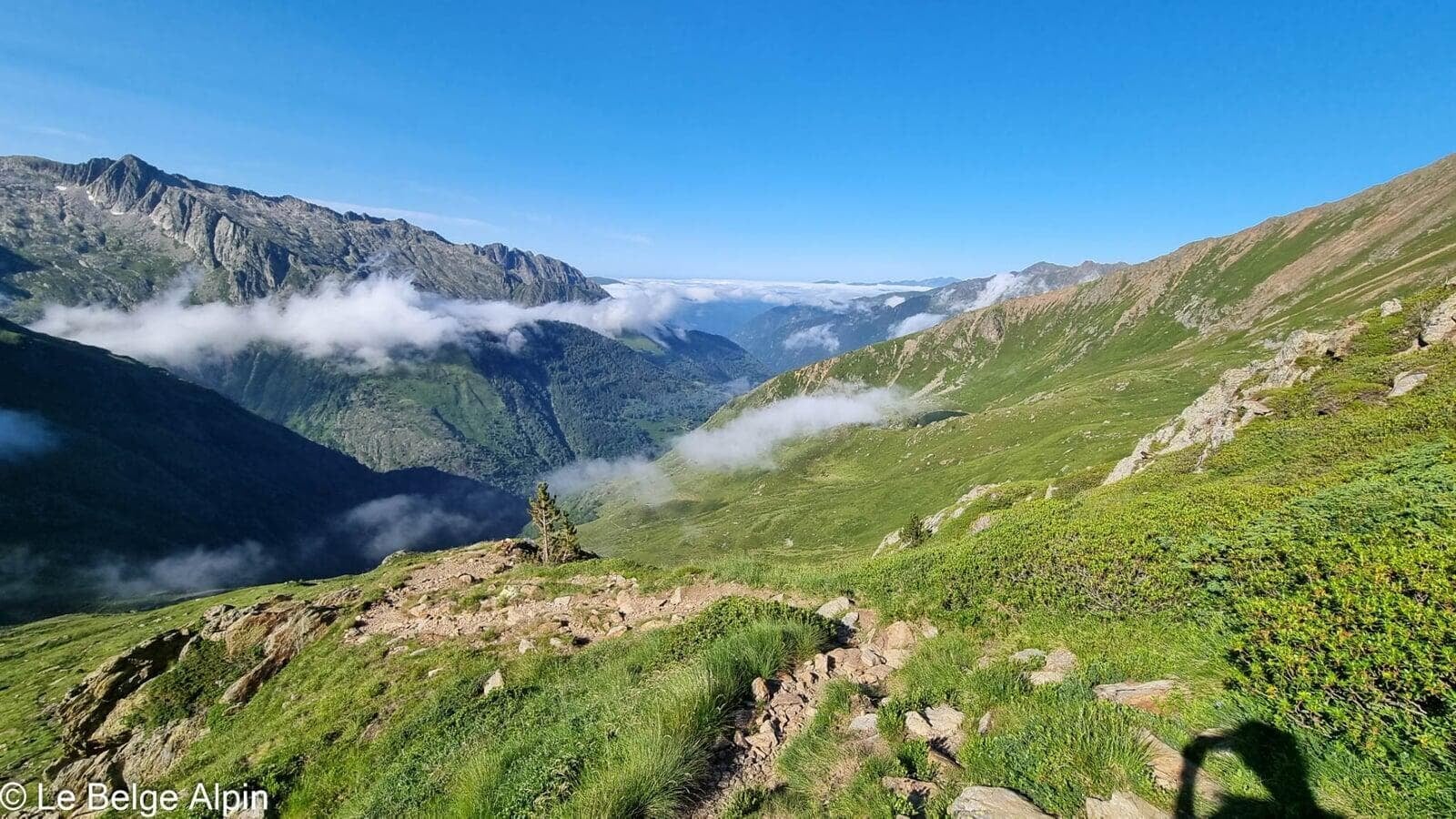
From Tarascon-sur-Ariege, head to Auzat and then up the track to L'Artigue. Parking at the end of the track (around 1600 m). The last section is stony, accessible to a low car in dry weather. Often full in peak season, start early or plan a backup.
GPX track
Import the GPS track into your watch or app (Garmin Connect, Komoot, Gaia GPS, Iphigenie...).
Sign in to downloadMountain huts
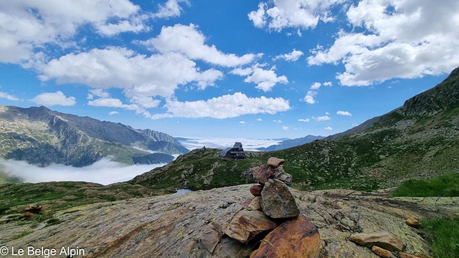
Refuge du Pinet (CAF), 2200m
Staffed June to September. Classic stop to break this long outing in two. Honest mountain cooking, warm welcome, panorama from the terrace at sunset.
Tourist office (current conditions)
Office de Tourisme des Vallees d'Ax, Auzat
Auzat, 09220
Garmin track
Gallery
16 photos, click to enlarge


Weather, Auzat
Conditions and forecasts for the itinerary
In the mountains, conditions change fast. A thunderstorm can become dangerous, fog disorients, residual snow slows every step. Before leaving, check the bulletins, plan a stable weather window, and when in doubt, call the tourist office or the local guides office.
Learn to read mountain weather →Questions fréquentes
Can all three summits be done on the same day?
+
Yes, that is the classic itinerary if you start early. With 2400 m of cumulative gain, you need the legs and a steady pace. Pic Verdaguer is optional, a very short detour from the Pique d'Estats, costing only 30 more minutes for a 3rd 3000.
Do you need to sleep at the Refuge du Pinet?
+
Strongly recommended. Even over two days, this is a substantial and physical outing. Sleeping at the refuge lets you break up the climb and tackle the summits at dawn, in the best conditions (cool air, no crowds, often no wind).
Is the Pique d'Estats really the highest point of Catalonia?
+
Yes, 3143 m, though located right on the France-Spain border. On the Catalan side, it is THE iconic summit, climbed for generations. The flags and offerings at the foot of the summit cross are proof.