
From the Narreyroux valley, 1400m of gain for a summit just under 3000m, with a cabled final section and a panorama revealing the Barre, the Bans and the Pelvoux when the clouds deign to part. Ideal for an experienced hiker looking for a quiet summit in high season.
After an intense week of via ferrata road trip with Victor and Aude, it was time to put the boots back into something serious. The mountain, the real one, where you feel your thighs burning on the last 1000 metres, where the summit is earned.
Tonight, I’m meeting a friend in Vallouise to introduce her to the mountain in alpine-hike-plus-via-ferrata mode. But I still had a day ahead and the urge to gain some altitude solo. Combing through the area’s maps, I come across La Blanche, a summit topping out at 2953 m. Not quite a 3000, but we’re not going to quibble over 47 metres. I file it without remorse in my “3000” category, it earns it. Same story for the elevation gain: 1400 and change? Hop, into the 1500 gain category, just as deserved.
Start under the mist
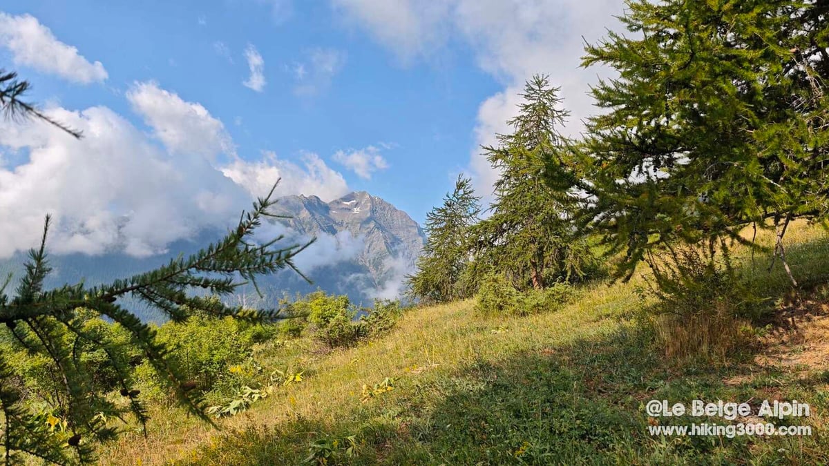
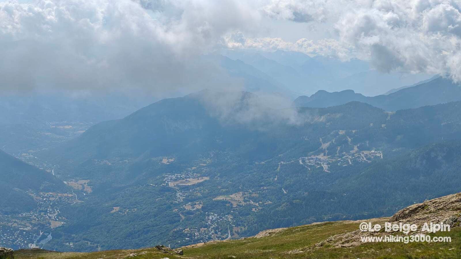
The hike starts under a low sky. The clouds linger, mist rises in silent waves. An atmosphere I love: mysterious, muffled, almost meditative. I climb alone, wrapped in this cotton wool, and figure the summit will probably be socked in.
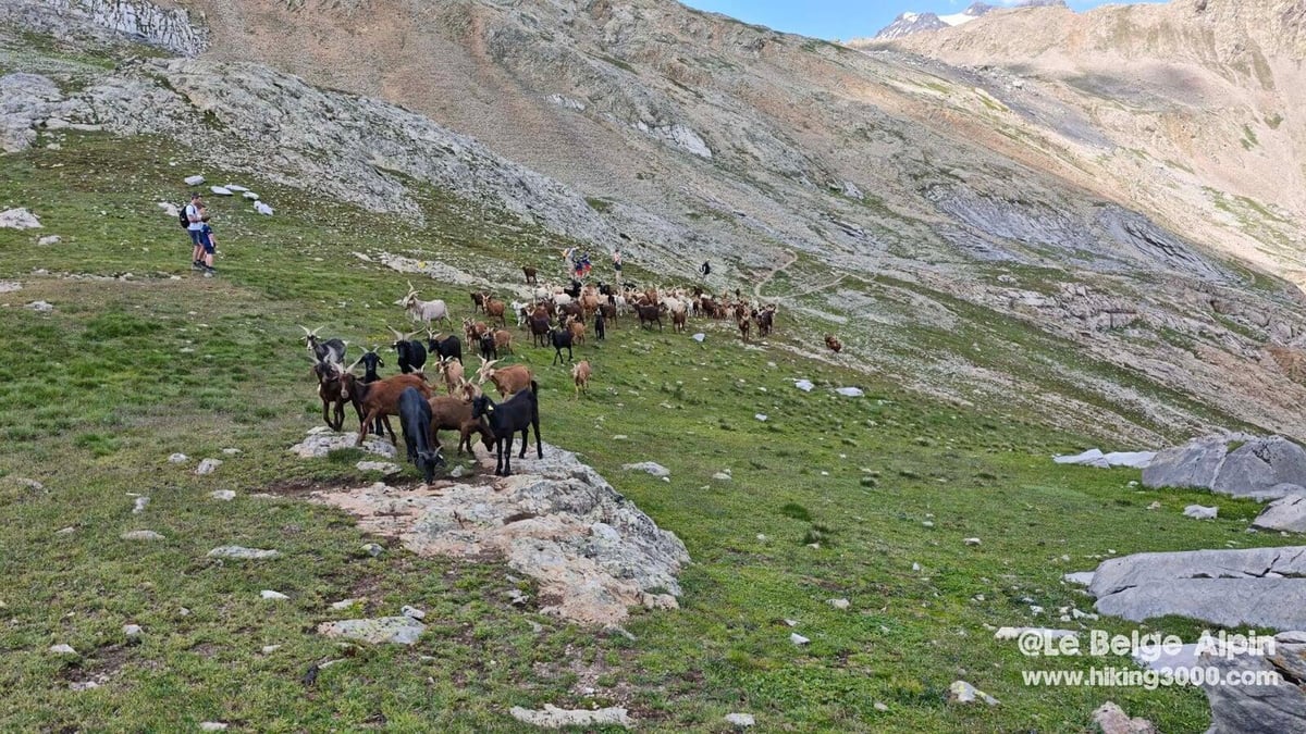
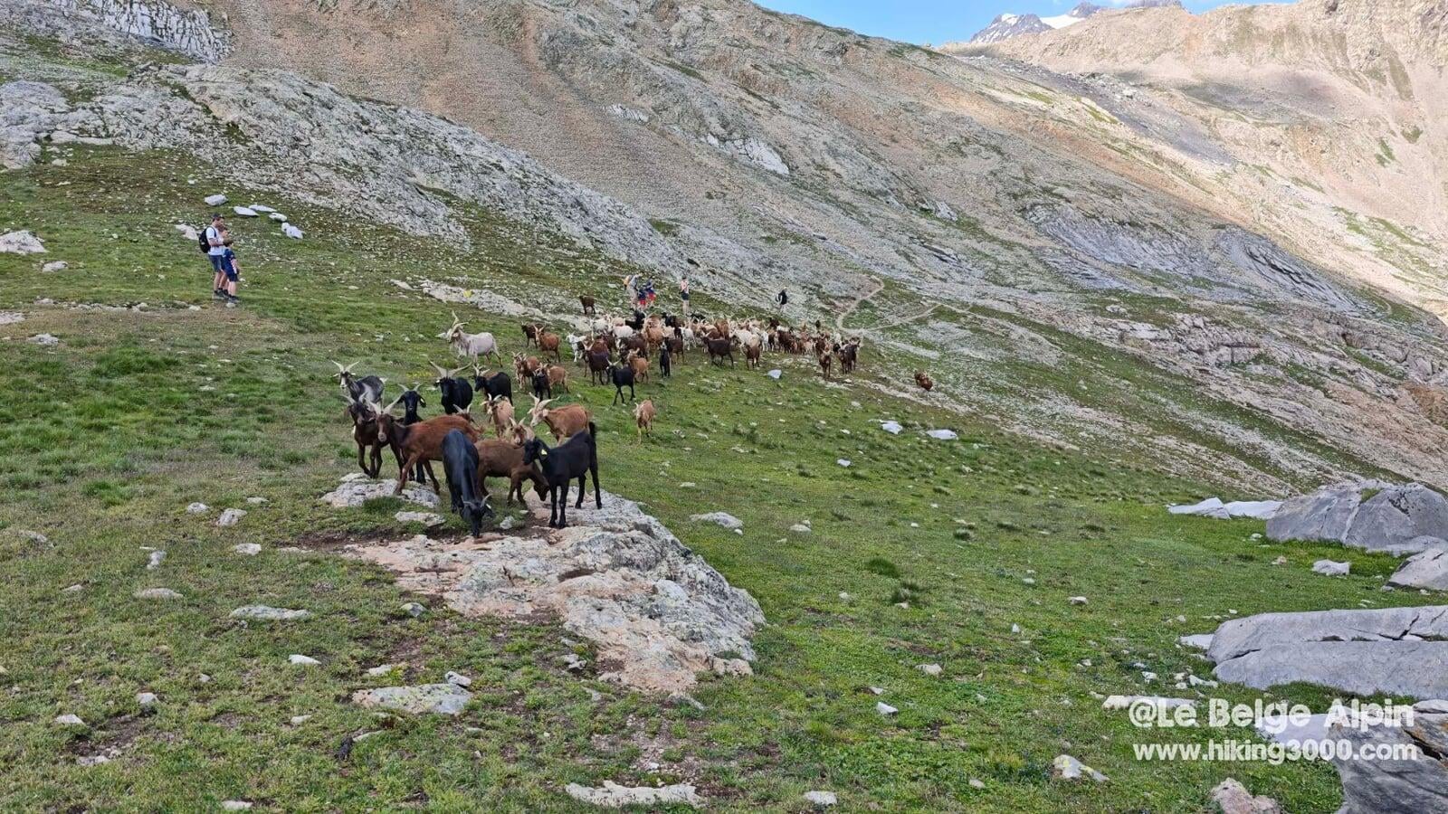
The first kilometres string together through the larches, then the alpine pastures. Not many people, a few solo hikers, a flock of goats and sheep cluttering the trail without worrying about me. The Narreyroux valley lives up to its character: wide, long, silent. Vallouise is quickly left behind, swallowed by the clouds.
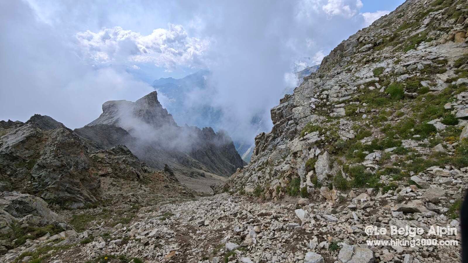
The cirque and the intermediate ridge
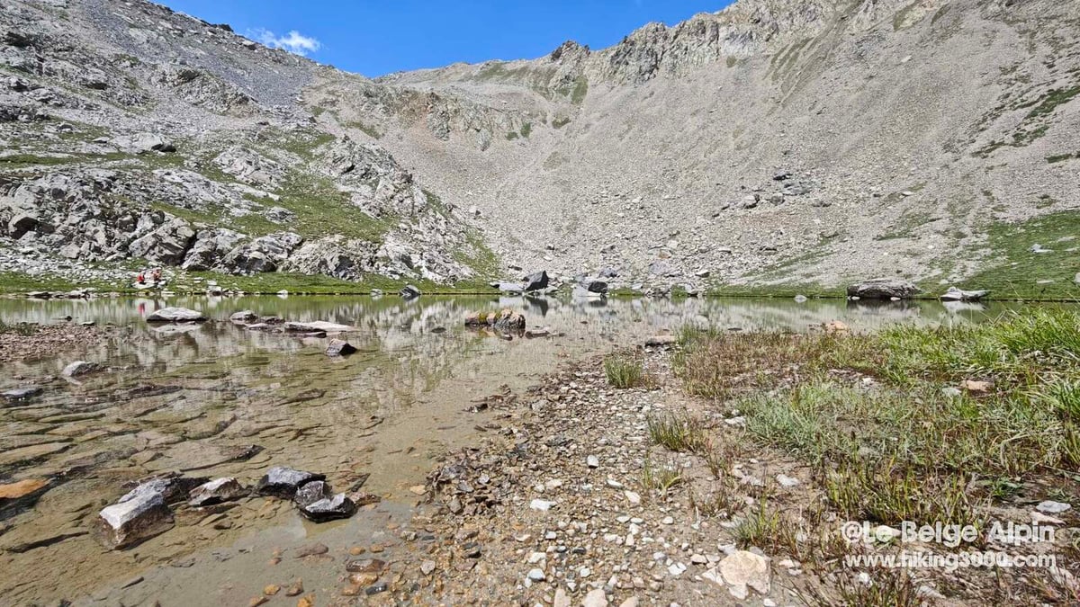

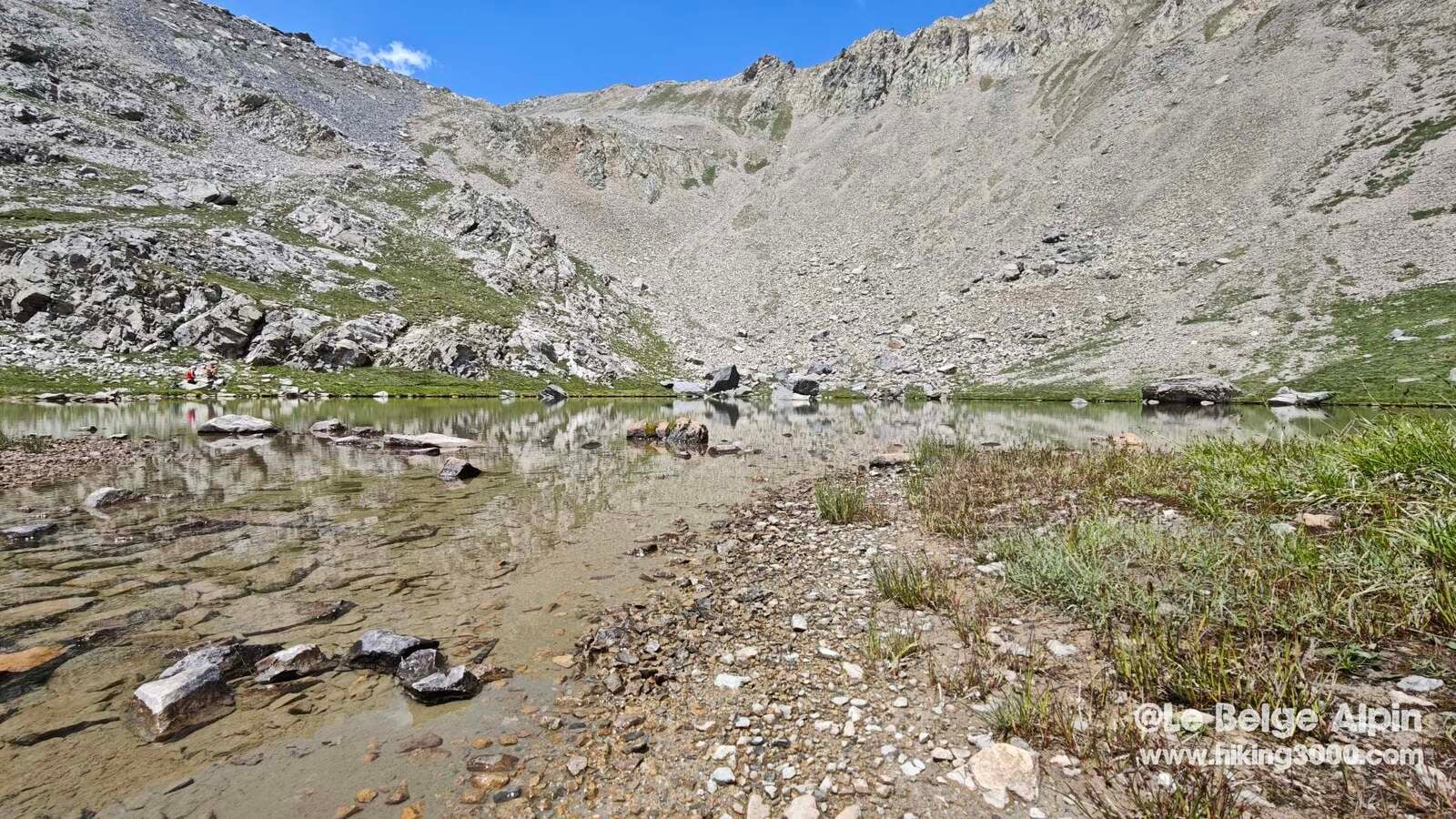
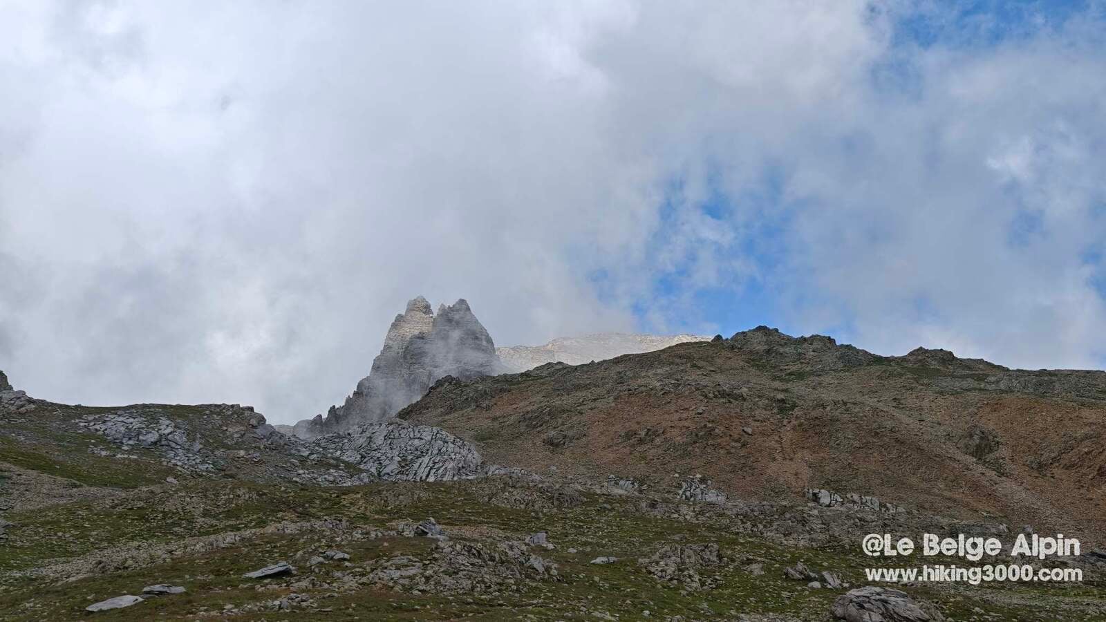
Higher up, the valley tips into mineral terrain. Vast cirque, moraine, stable scree. A small alpine lake offers a break, its perfectly still water reflecting whatever you want to see. The area’s distinctive spires emerge and fade to the rhythm of the clouds. You never know what the next minute brings, and that’s just fine.
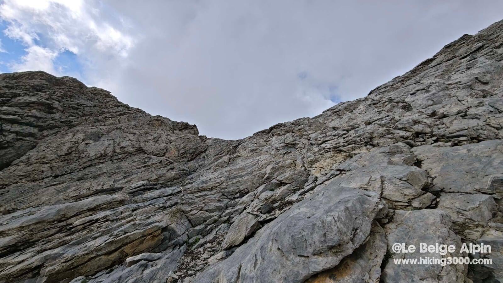
The cabled step and the final ridge

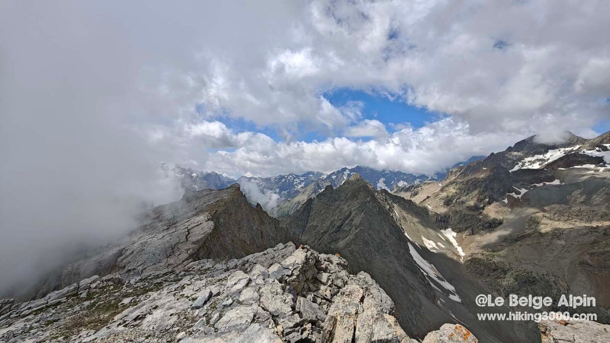
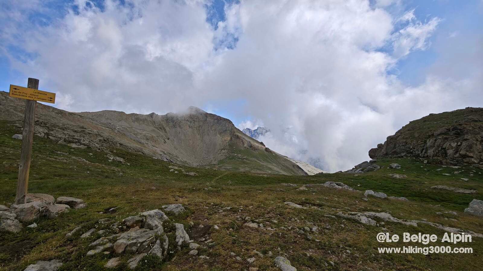
The route is alpine, but without major technical difficulty. A small climbing step just before the summit, fitted with a cable. Nothing too nasty for the regular, a few metres to secure, solid holds, reliable cable. But I’d advise against coming here without some ease on mountain terrain: it’s the kind of passage where a fall costs dearly.
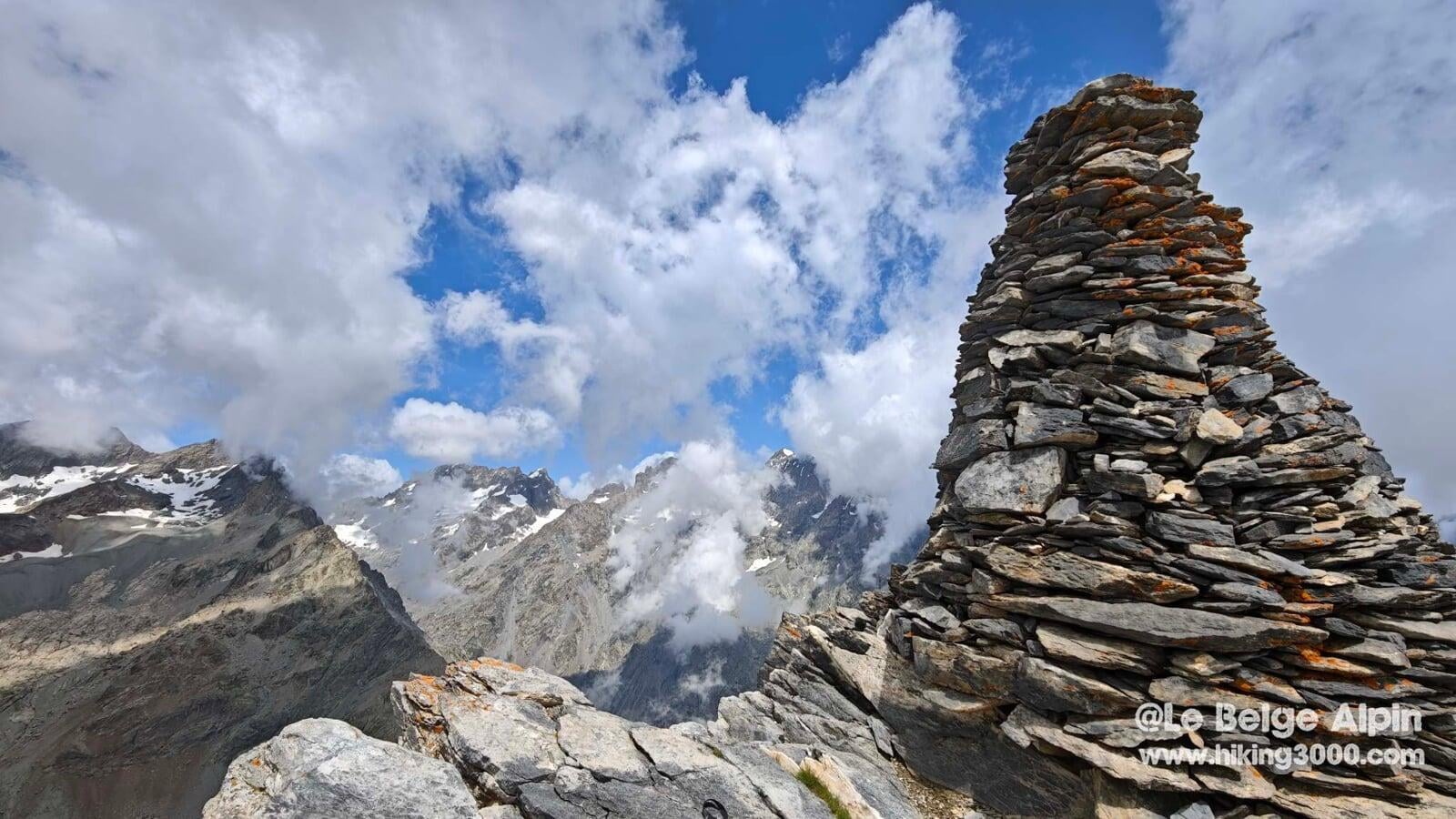
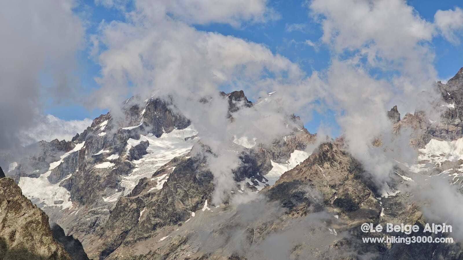
The curtain lifts on the Ecrins

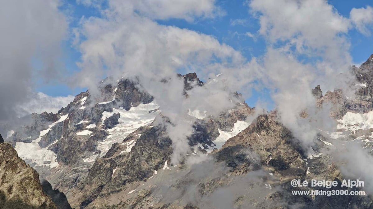
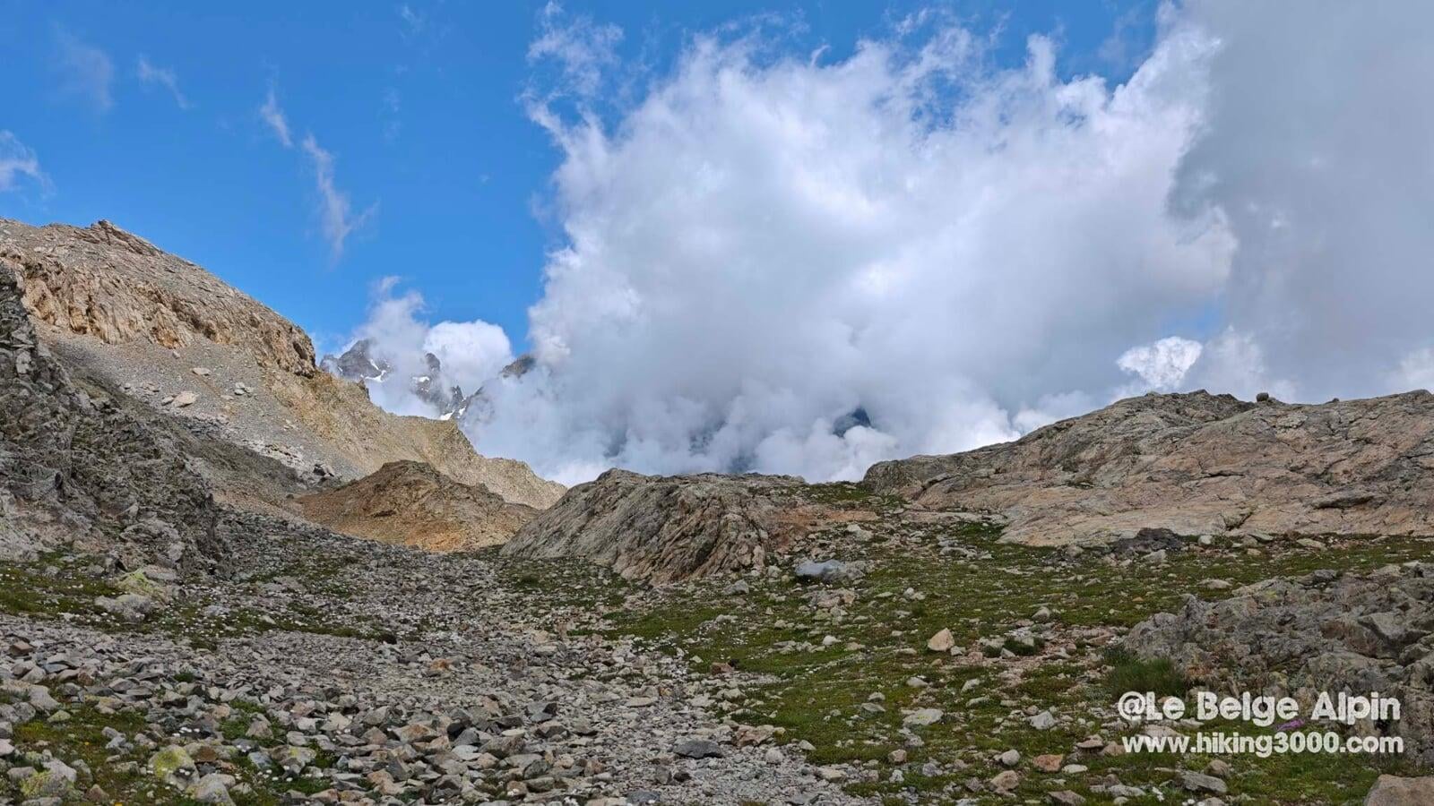
And then a surprise: arriving on the final ridge, the Ecrins reveal themselves all at once, like a theatre scene where the curtain lifts. The Barre, the Bans, the Pelvoux, it’s all there. Majestic.
Honestly, it’s always more beautiful with a few well-placed clouds than with a flat blue sky. The mountain has more relief, more character, the summits surge and vanish, each minute offers a different view. I stay there a good while, eating, watching the openings, letting the wind clear what it can.
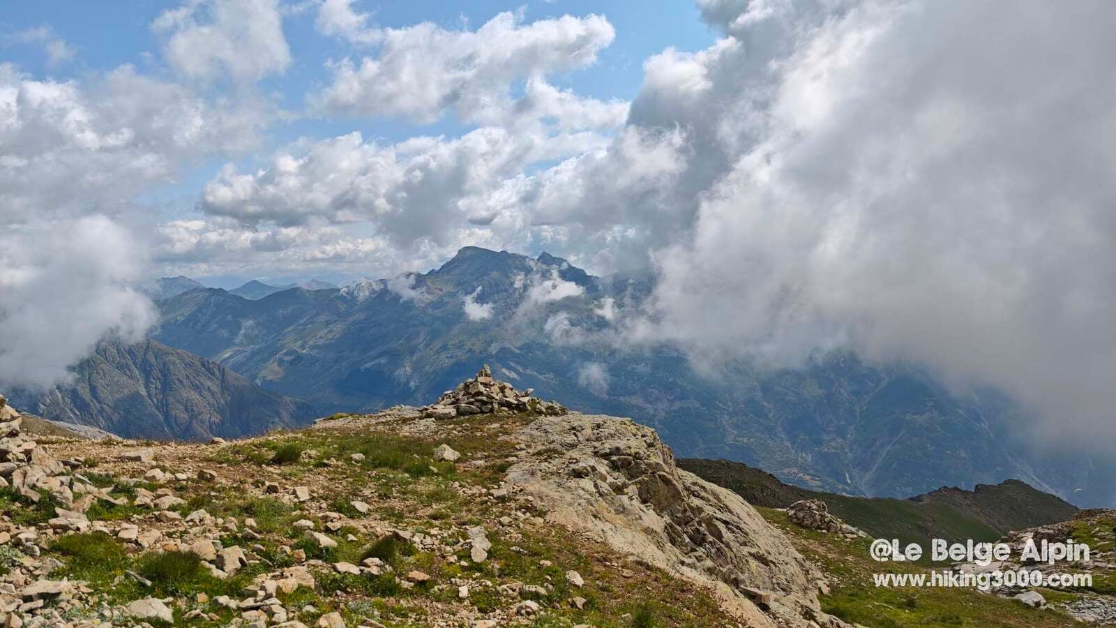
Not too many people on the trail despite the high season, on July 14, and the summit is quiet. The Ailefroide campsite is packed, vans squeeze like sardines at Pelvoux, but up here, on the heights of Vallouise, it’s still relatively peaceful. Just as well: I savour these moments when the mountain rustles only with my steps and the wind.
Historical anecdote, a discreet border summit
La Blanche is one of those discreet yet strategic summits. It marks the border between the Narreyroux valley and the upper Vallouise valley, two old paths used for centuries by shepherds and peddlers. The very name “La Blanche” may come from the lingering snowfields that once held here until the end of summer.
According to local old-timers, summits like this one were once climbed by customs officers to spot smugglers moving between France and Piedmont via the secondary passes. Today, only alpine hikers venture there, and even then, not many.
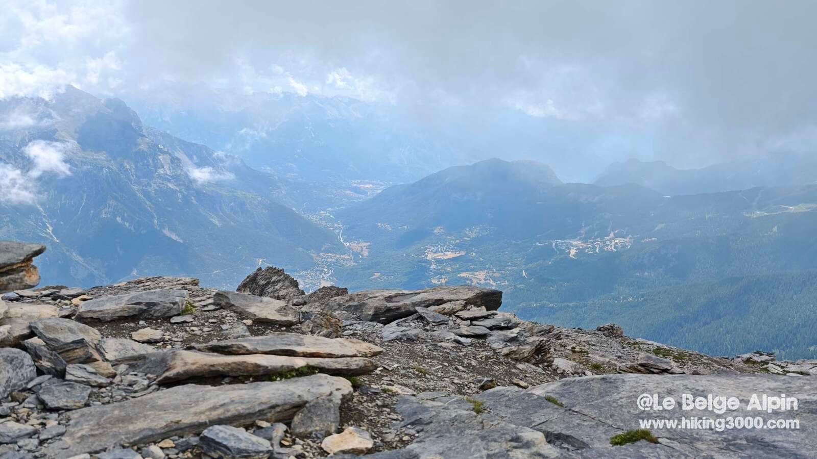
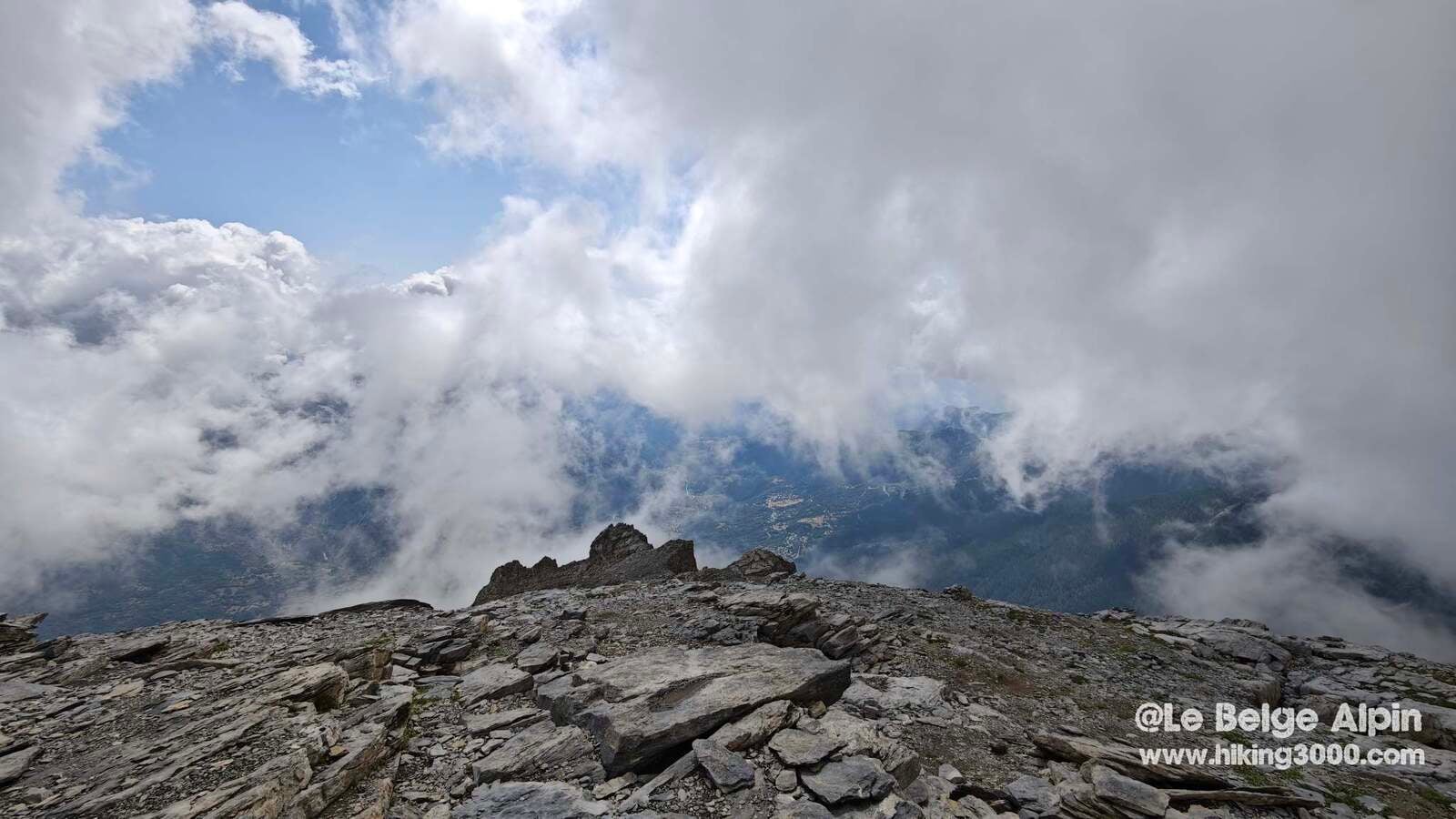
Descent and an encounter in flight

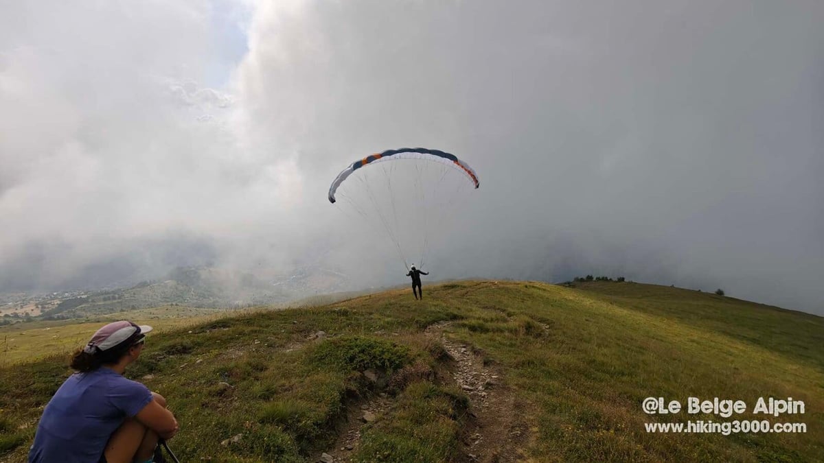
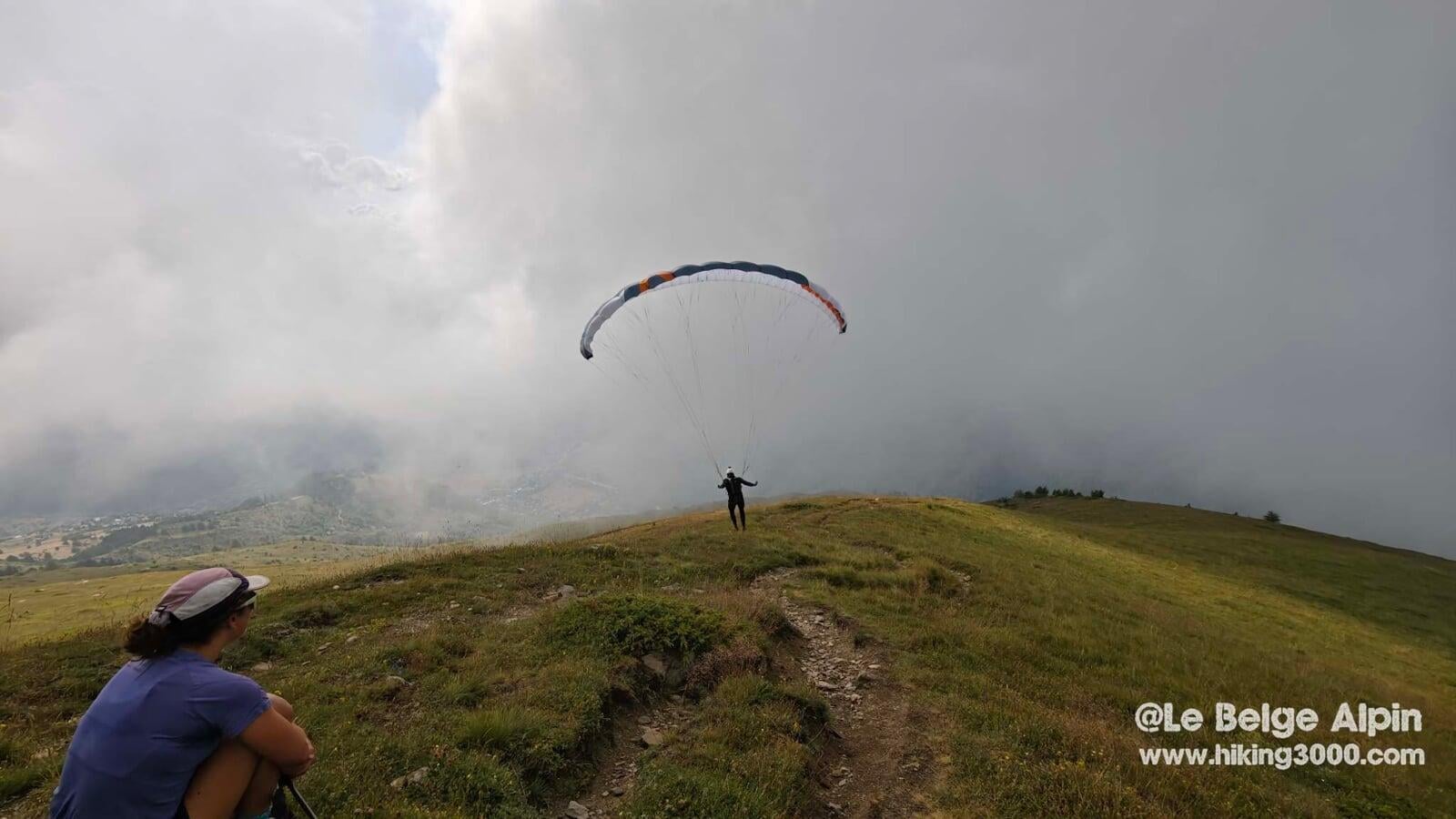
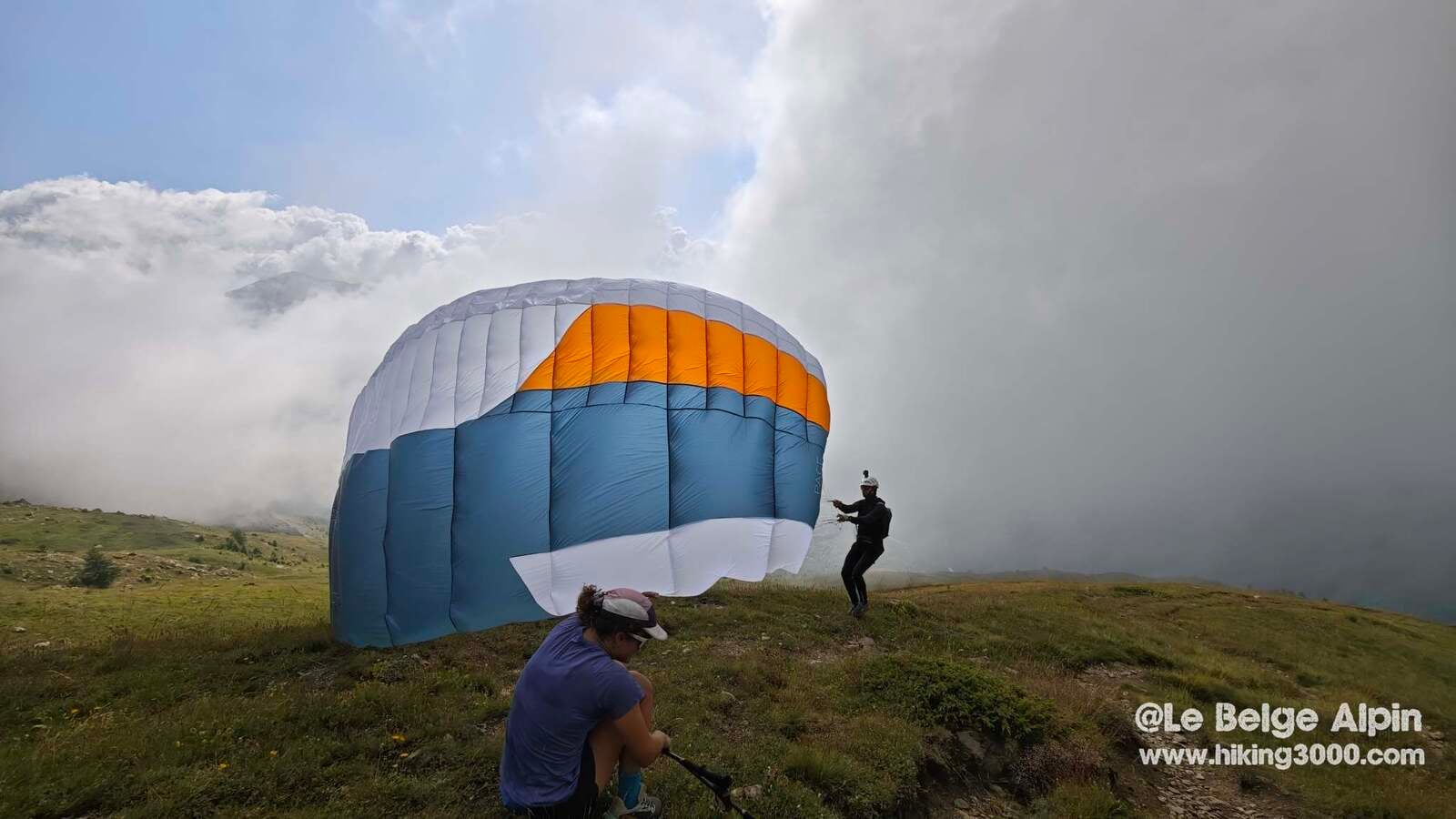
The descent takes place in the same mineral palette, clouds rising and falling. On the intermediate shelf, a surprise: a paraglider takes a window to launch facing Vallouise, watched by his partner sitting in the grass. We exchange a hello, watch the take-off, reflect that each of us has a way to embrace the mountain. Mine is the feet. Theirs is the wing. Deep down, same pleasure.
Practical info
This is not an outing for beginners. 1400 m of gain, 2953 m summit, one cabled step, you need fitness, ease on alpine terrain, and the willingness to turn back if the weather really turns.
For precise conditions (late snow, cable status, trail state after a big storm), a phone call to the Ecrins tourist office in Vallouise always gives more info than a website. They know their mountains and know when an outing is worth it or not.
Practical info
Starting point
From Vallouise, head up the D994 then follow signs for Les Choulieres / Narreyroux. Parking at the end of the drivable track around 1600 m. Fills up early in summer, arrive before 8am or use the carpool from Vallouise village.
GPX track
Import the GPS track into your watch or app (Garmin Connect, Komoot, Gaia GPS, Iphigenie...).
Sign in to downloadTourist office (current conditions)
Office de Tourisme du Pays des Écrins, Vallouise
Place de l'Église, 05290 Vallouise-Pelvoux
Garmin track
Gallery
17 photos, click to enlarge


Weather, Vallouise
Conditions and forecasts for the itinerary
In the mountains, conditions change fast. A thunderstorm can become dangerous, fog disorients, residual snow slows every step. Before leaving, check the bulletins, plan a stable weather window, and when in doubt, call the tourist office or the local guides office.
Learn to read mountain weather →Questions fréquentes
Is La Blanche accessible to beginners?
+
No. Despite 2953m (not quite a 3000), 1400m of gain and a small cabled climbing step just before the summit require good fitness and comfort on alpine terrain. For experienced hikers.
What is the cable near the summit for?
+
A short climbing step (a few metres) fitted with a cable lets you cross a rocky step just below the summit. Nothing truly technical for anyone who knows mountain terrain, but not recommended for alpinism beginners.
What is the best time for La Blanche?
+
From mid-July to mid-September. Before, snowfields linger on the final ridge. After, the terrain can take snow fast and make the cable inaccessible.
Is the summit crowded in high season?
+
Surprisingly quiet. Even on July 14, the trail stays lightly trafficked despite the Ecrins popularity. Vallouise draws crowds, but La Blanche stays discreet.