
A big 18.42 km loop along the Vosges ridgeline, starting near the Col de la Schlucht. 845 metres of climbing, four glacial lakes below, rocky climbs that catch you out, and a view reaching all the way to the plain of Alsace. For the Vosges, this already has a taste of high mountains.
This weekend I met up with my hiking friend for three days in the Vosges. We’d planned it for a while: we’ve covered a good deal of mountains together this year, and since our paths crossed nearby, we arranged to link up a few good loops the way we like them. This one, the tour of the lakes along the ridgeline, left me with a sharp memory.
We start from the area of the Col de la Schlucht, on the famous Route des Crêtes. Nothing wild here, we followed trails that already exist and see plenty of traffic. But the route is clever, and for the Vosges, it quickly takes on the air of a real mountain.
Reunion on the high pastures
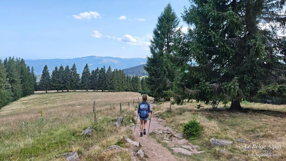
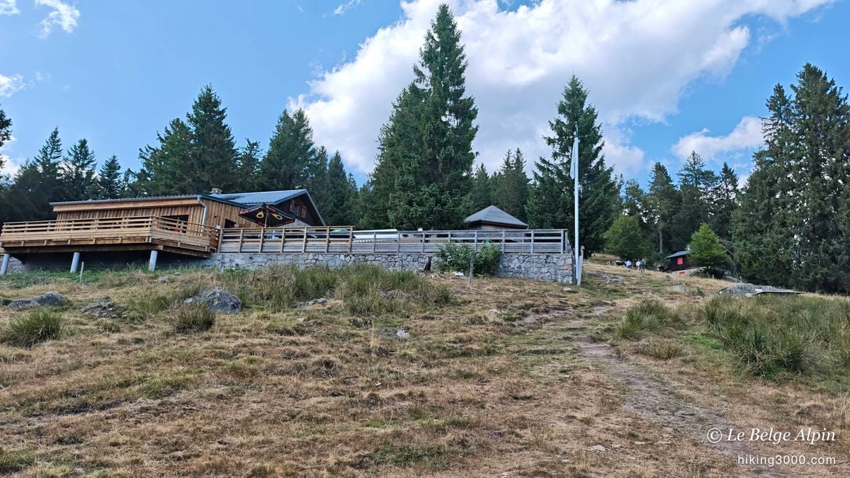
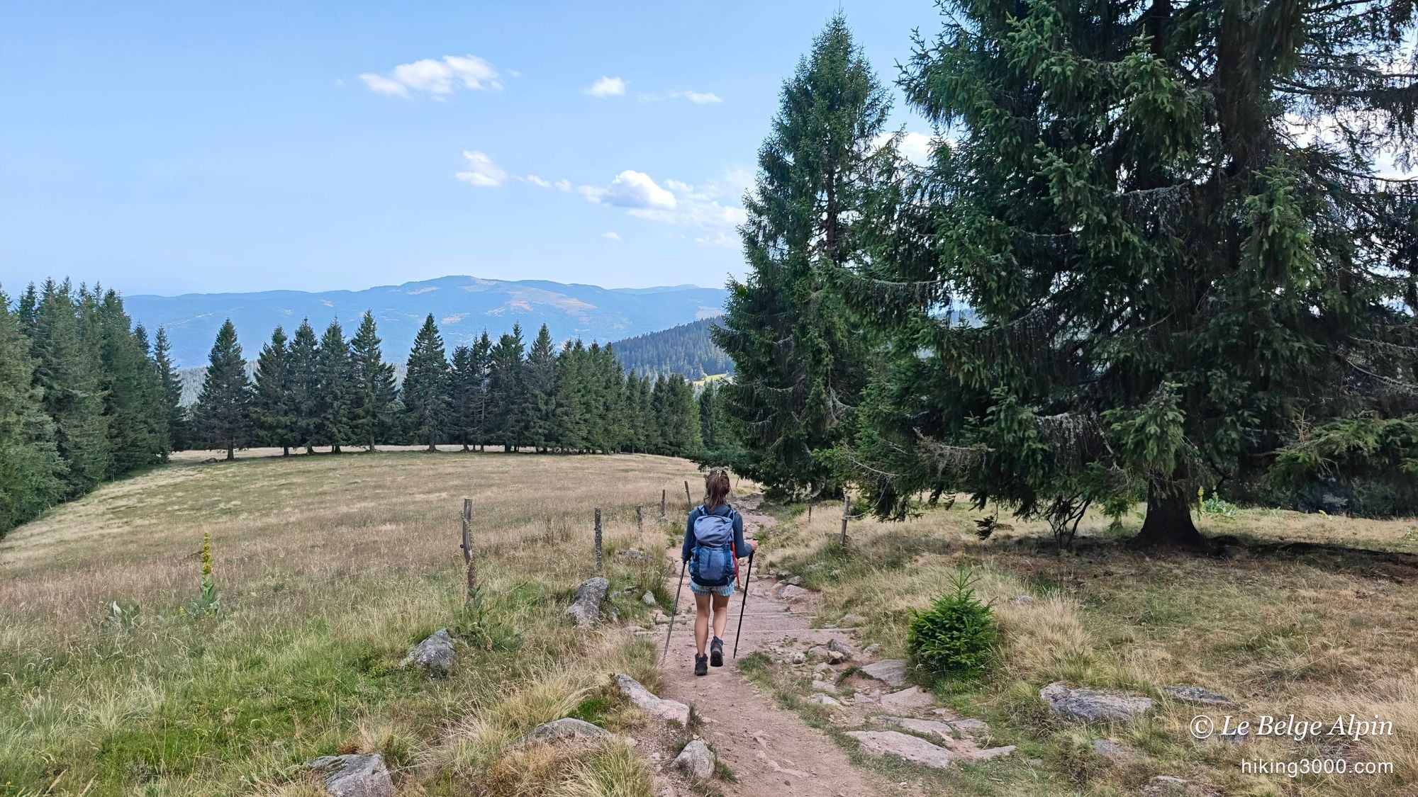
The first kilometres unfold across the chaumes, those wide high-altitude grasslands that cap the Vosges summits. The walking is open, the eye carries far, with the rounded ballons following one another to the horizon. It’s the classic ridgeline setting, and it’s already very beautiful.
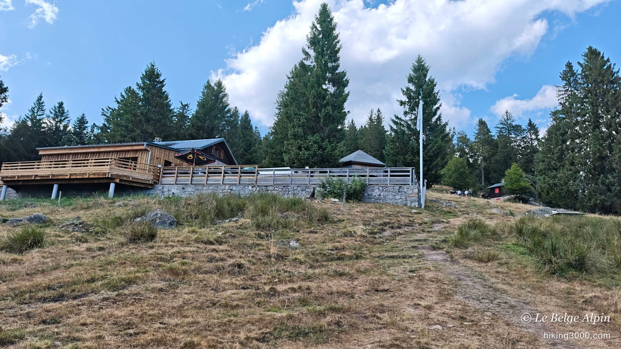
Here and there, a farmhouse-inn sitting on the grass is a reminder that up here mountains are also enjoyed at the table, over a marcaire meal and a local tomme. We didn’t stop this time, but it’s worth knowing if you want to break up the day.
Dropping down to the lakes
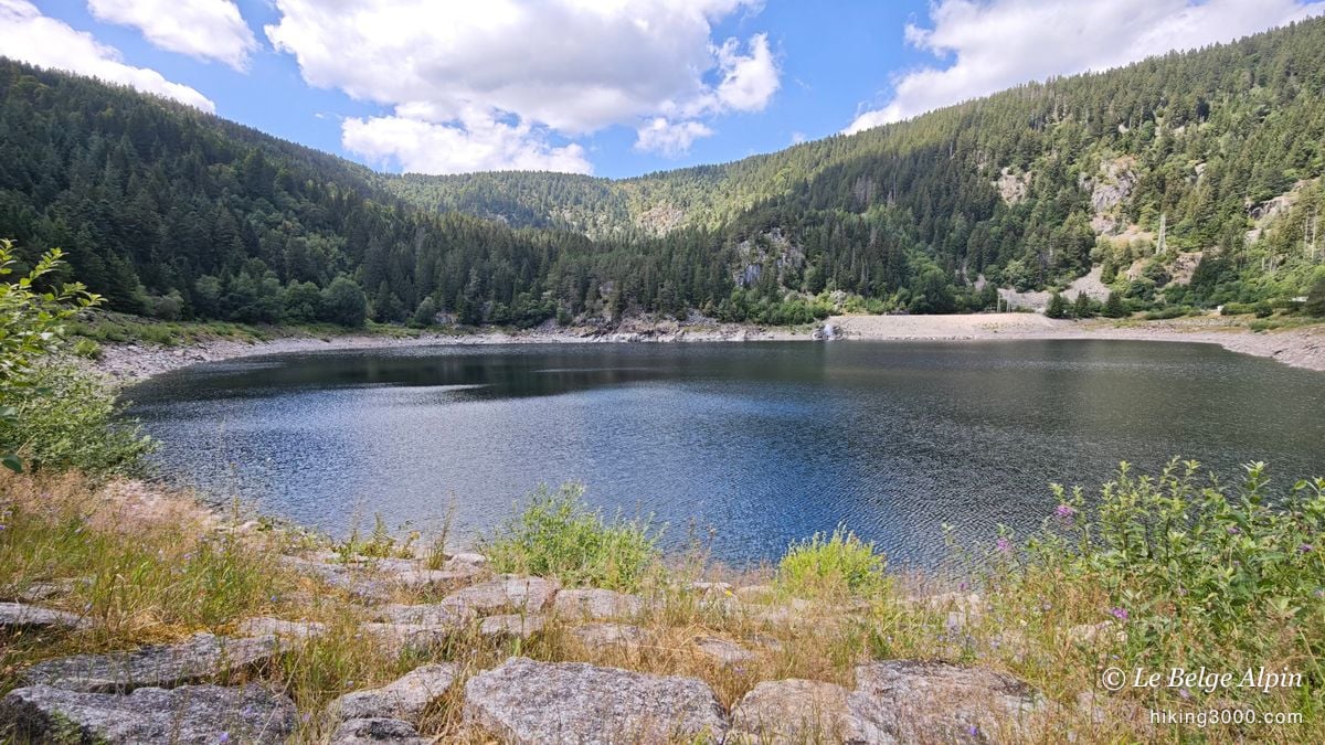
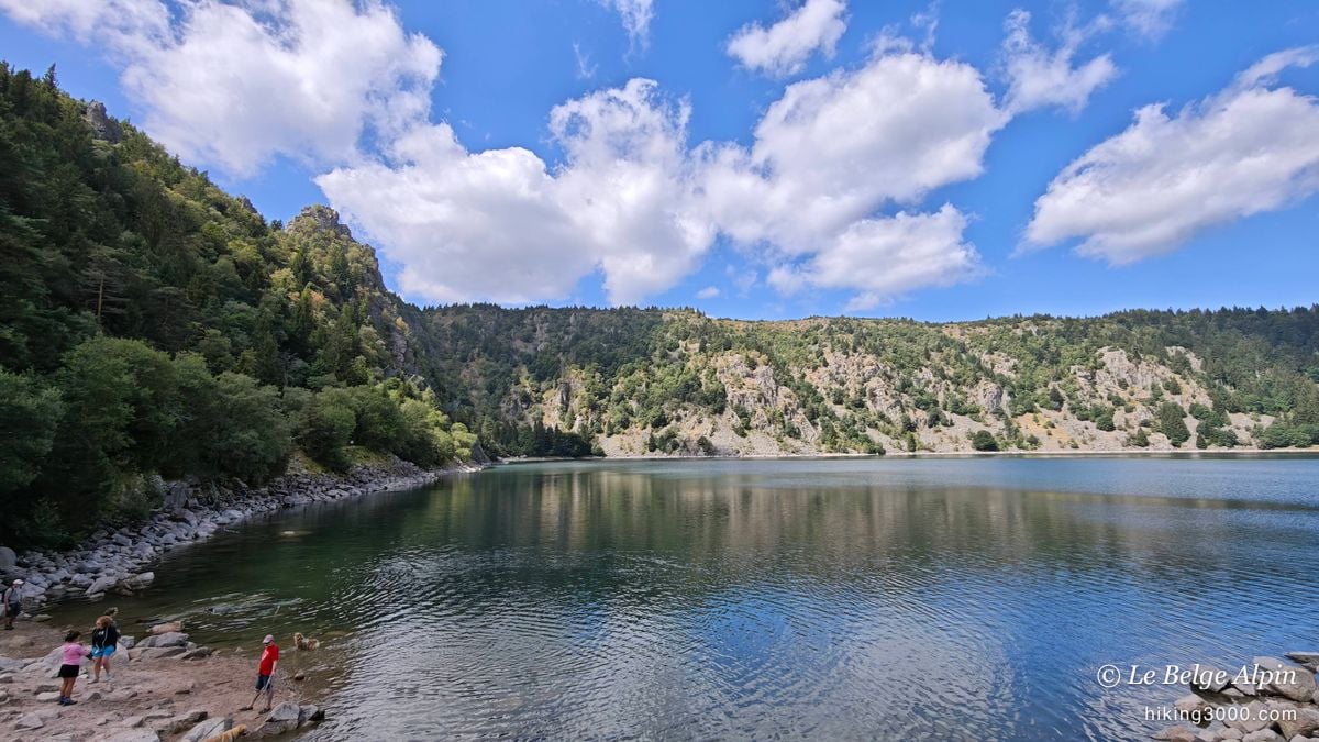
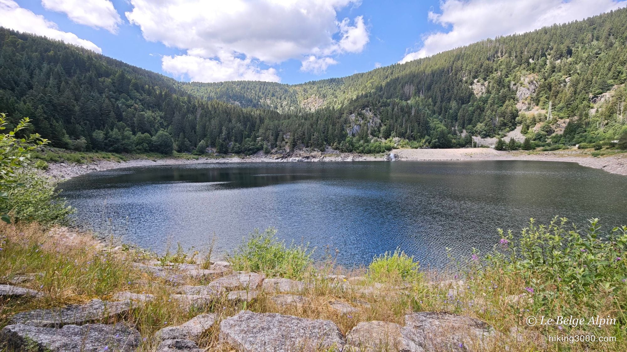
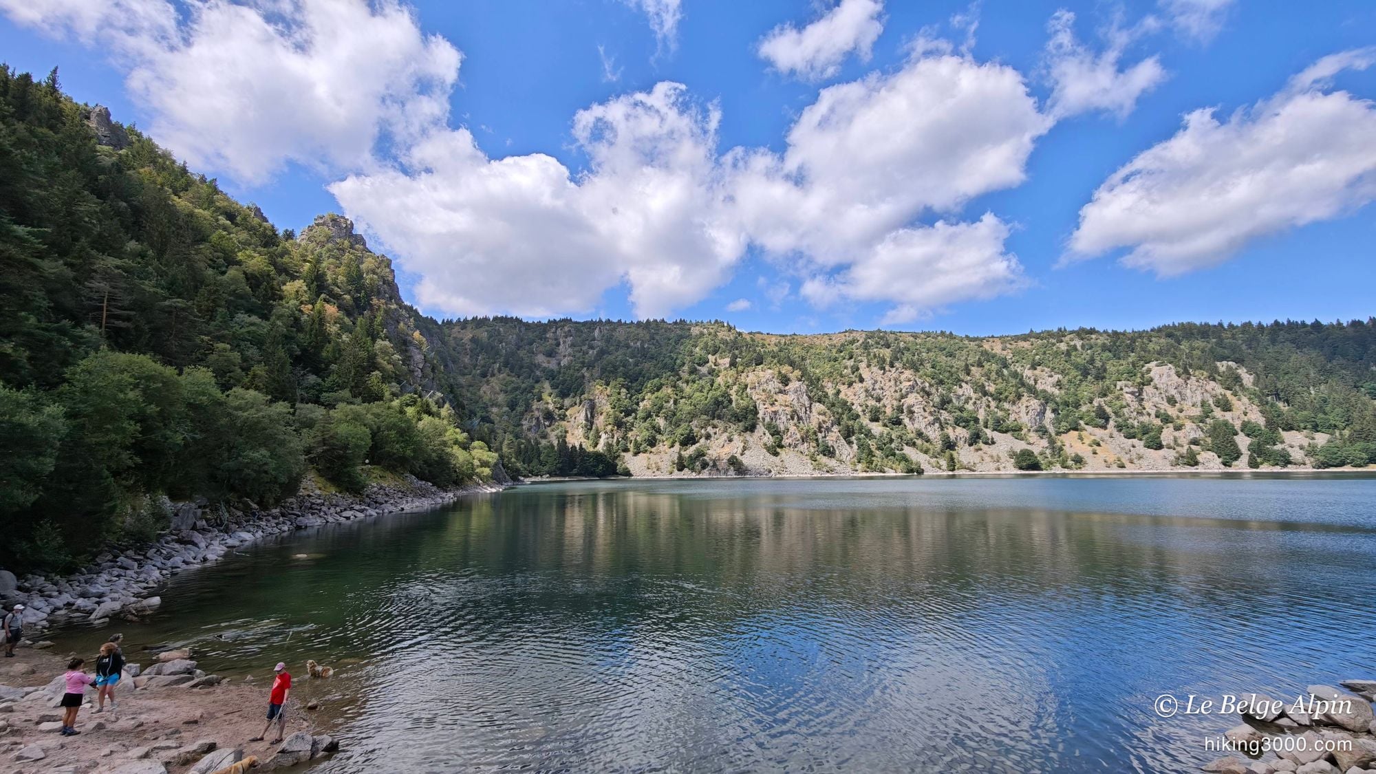
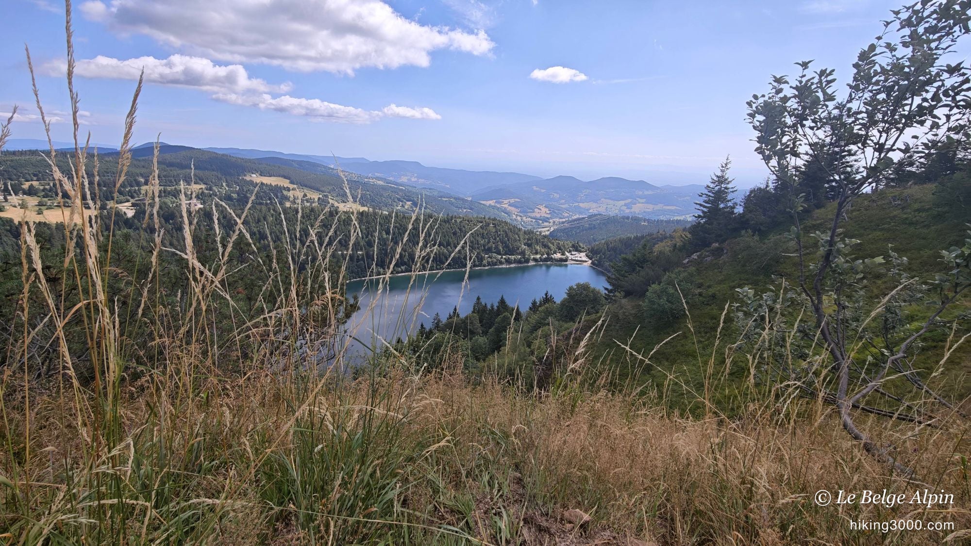
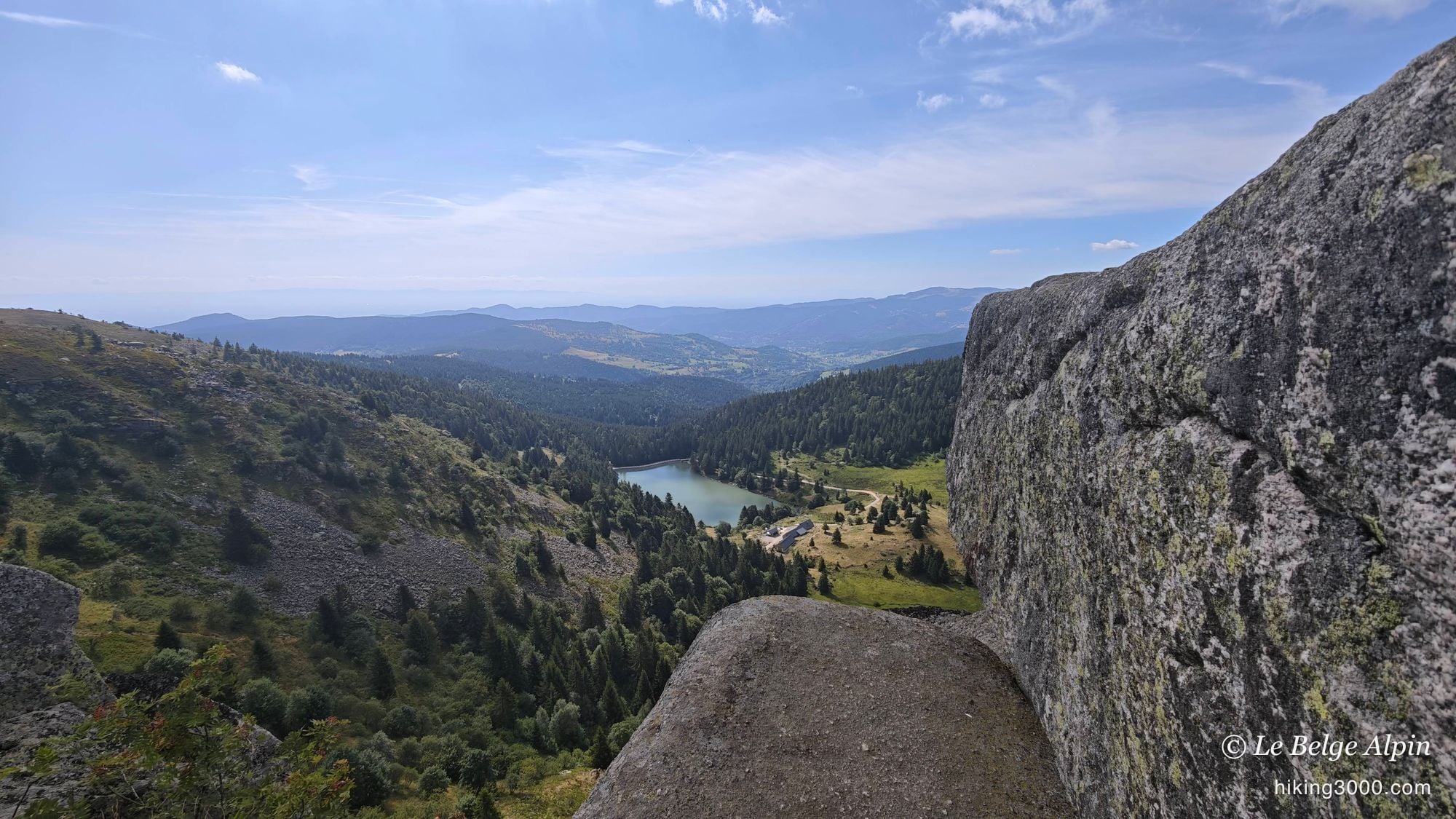
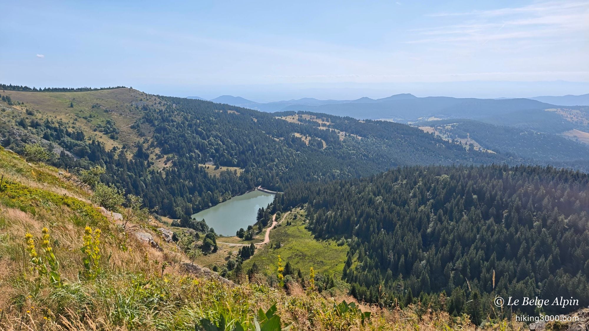
From the ridges, we drop down to the lakes. There are four of them on the route, all of glacial origin, tucked into cirques carved by the glaciers of old. We pass the Lac Blanc, the Lac Noir, the Lac Vert, and a last one whose name escaped me at the time. Each has its own character: one held back by a stone dam, another squeezed at the foot of a great dark cliff, a third a deep green at the bottom of the forest.
An honest word, because in that heat the urge was real: swimming was banned, because of bacteria in the water. A shame, but you don’t gamble with that. Check before you go, these orders change from one season to the next.
It climbs more than you’d think
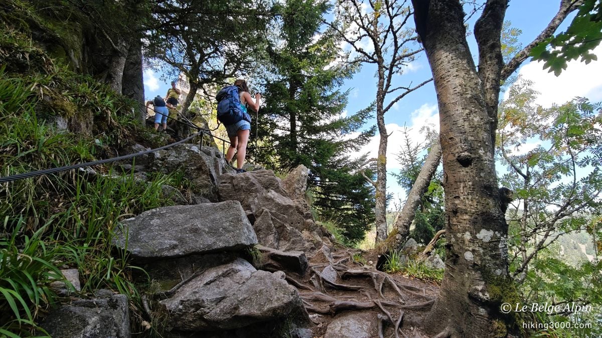
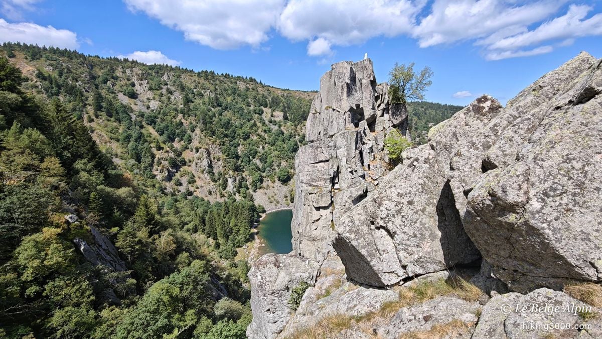
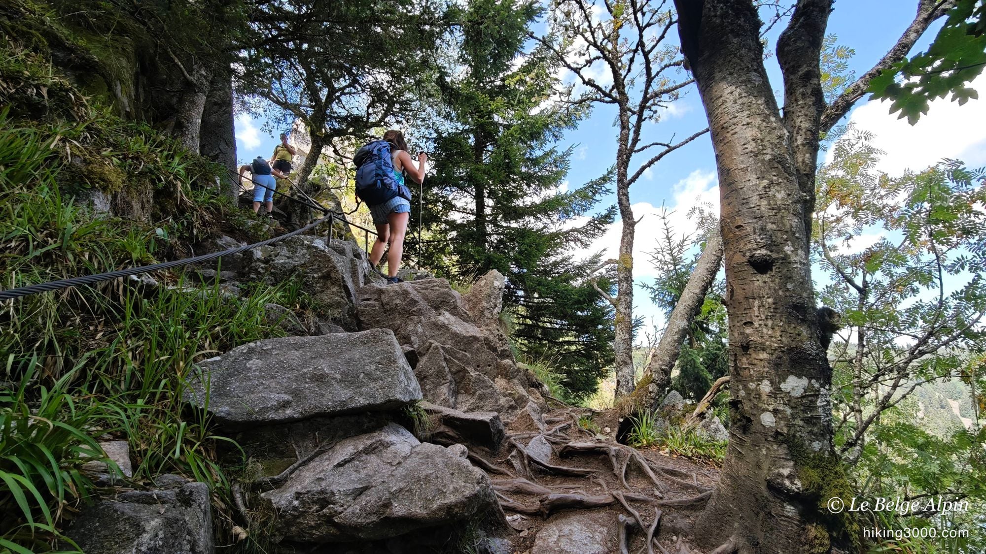
This is where the hike surprises you. Getting from one lake to the next is no gentle stroll: you string together fairly steep climbs through scree, on genuinely rocky, stony ground. One section is even fitted with a cable to hold on where it steepens. Nothing insurmountable for anyone used to it, but you have to watch where you place your feet, and even the flat stretches stay stony throughout.
We’re not on a hard high-mountain route, let’s be clear. But local guidebooks often rate it as difficult, and I understand why: we passed walkers genuinely struggling in the rocky pitches. Don’t underestimate the Vosges on this one. If you’re new to this kind of terrain, a look at my rating guide before you go won’t hurt.
The mountain air, and the plain as far as you can see
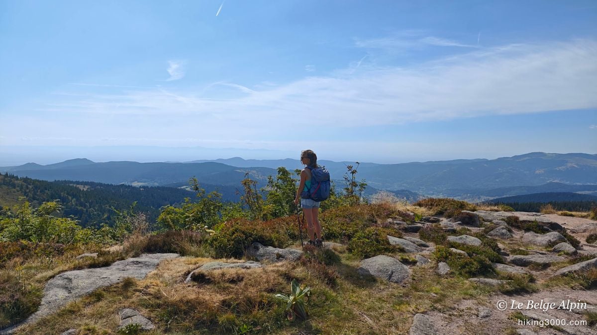
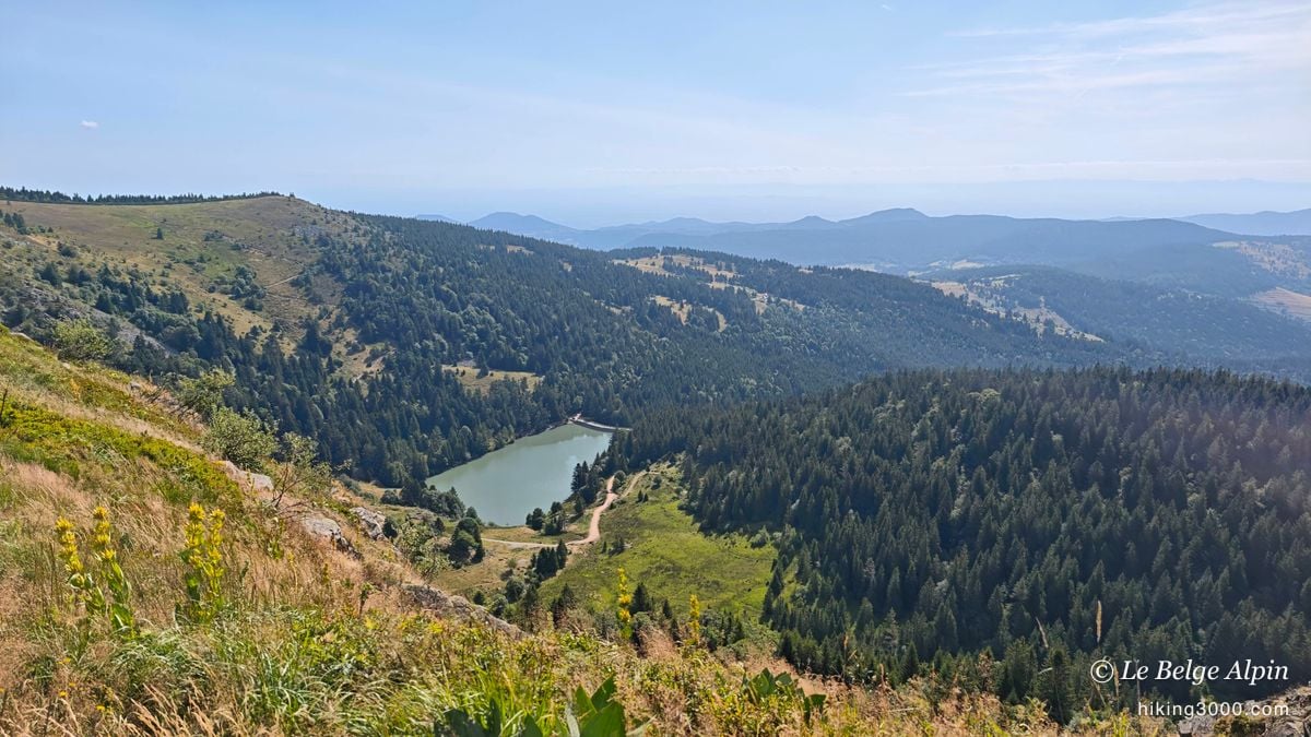
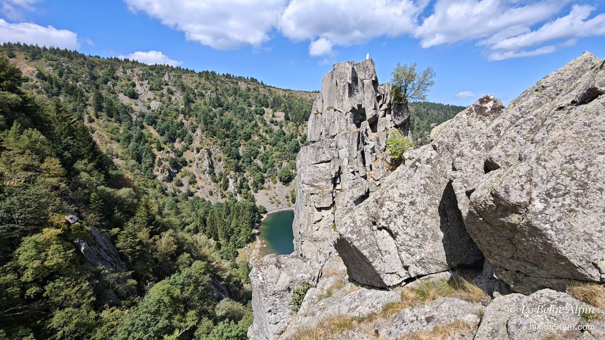
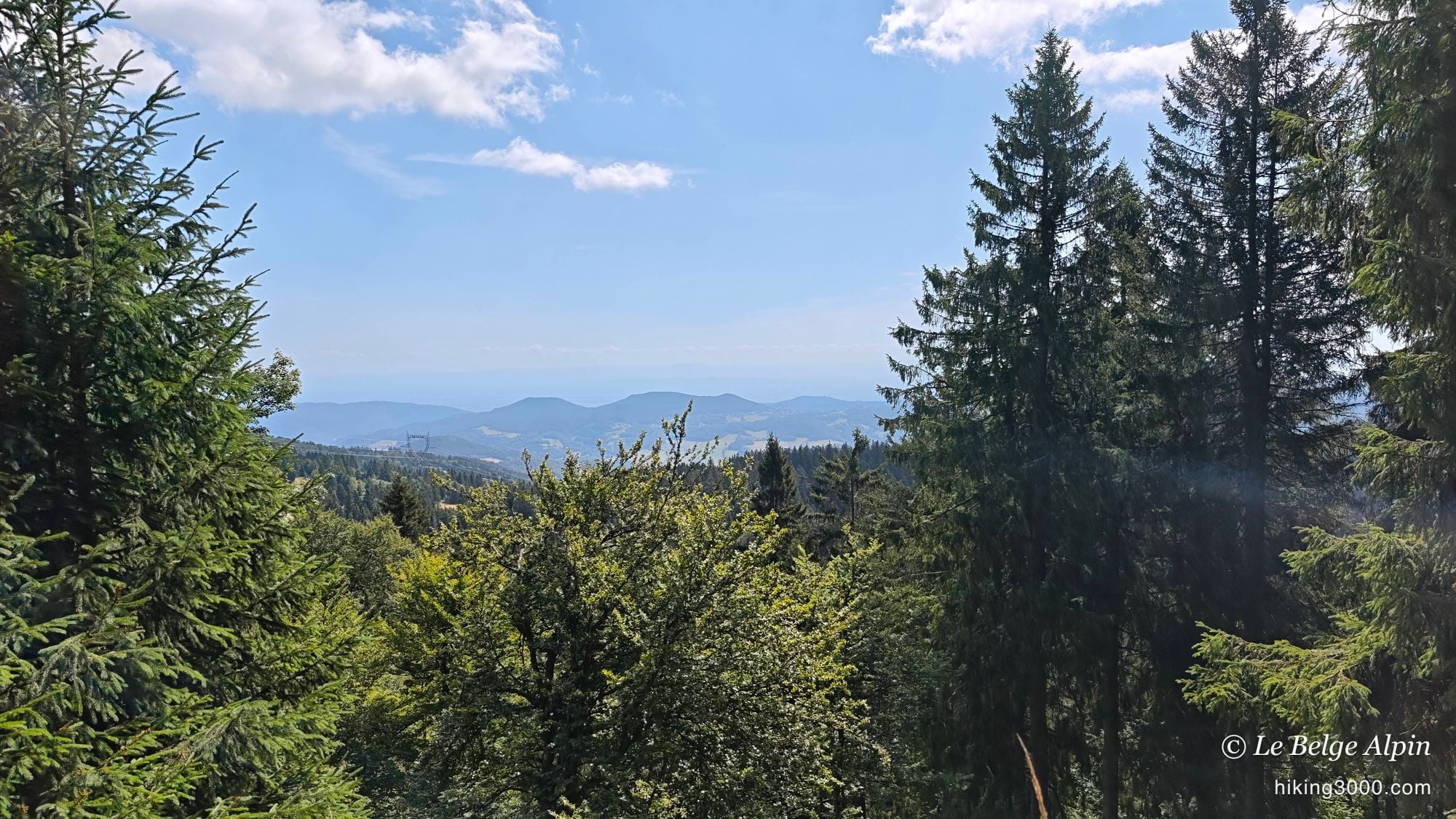
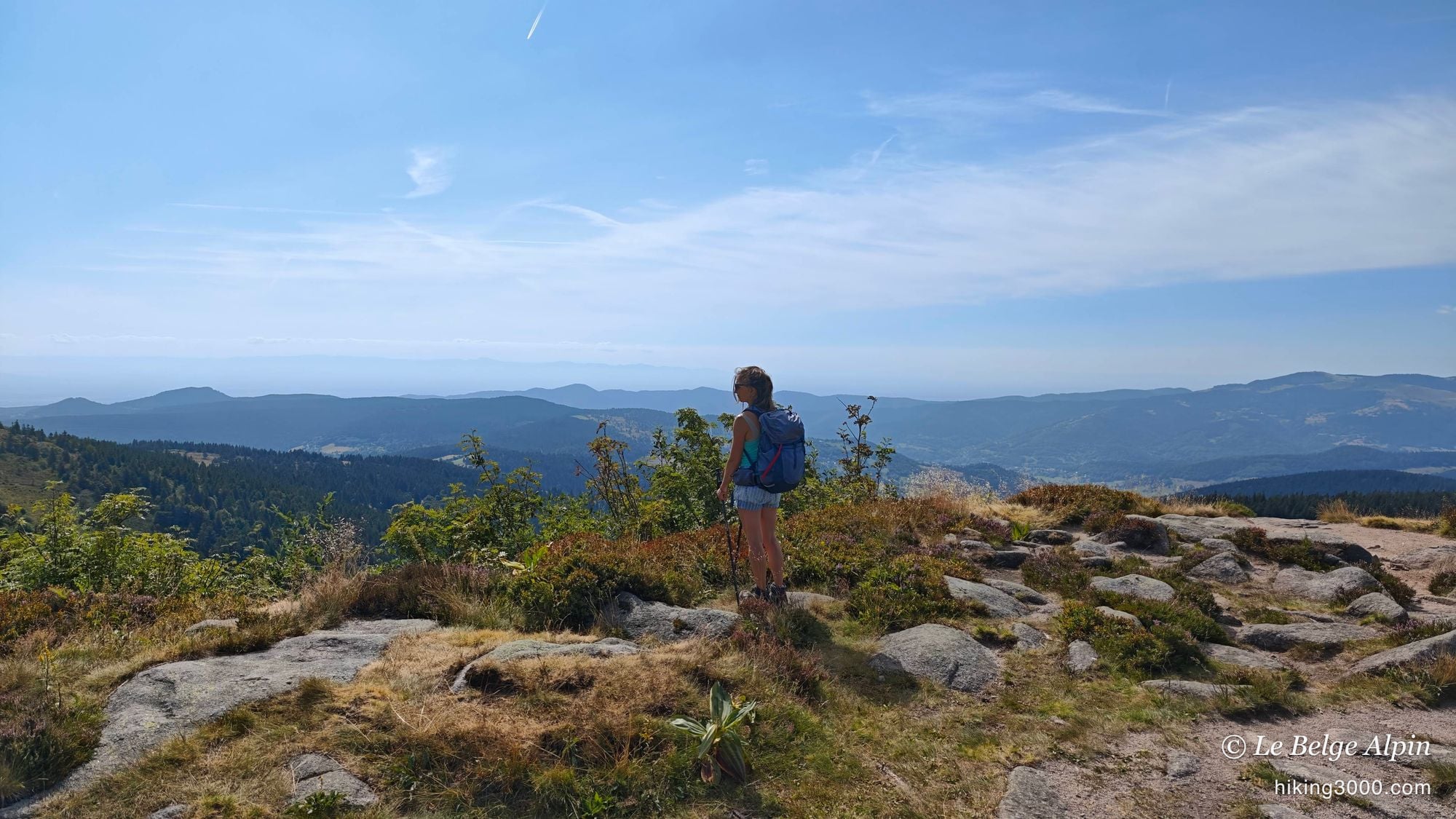
On the upper part, we held a genuine little ridge section, quite rocky, with that mountain feel I wasn’t necessarily expecting to find here. The view is wide: you can make out the plain of Alsace, the direction of Colmar, and a whole rolling sea of wooded summits all around. Tall yellow gentians dotted the slopes, summer was well and truly here.
That’s what I loved about this loop: you find mountain sensations again, on a modest but honest scale. For the Vosges, that’s already a fine piece of walking.
Practical notes
This ridge-and-lakes loop is 18.42 km with 845 metres of climbing, starting from the Route des Crêtes, near the Col de la Schlucht. The track shows close to 6h50 door-to-door, but we made the most of the lakes: walking alone, reckon nearer 3h40. Make a full day of it, this is a route to savour.
The ground calls for good shoes with grip: the climbs between the lakes are rocky, there’s scree and a cabled section that turns slippery in the wet. Aim for a dry day for the steepest part, and set off early, because the Route des Crêtes and its car parks fill up fast in summer. For the state of the lakes and any swimming bans, a phone call to the Munster Valley Tourist Office beats any app.
If you like this kind of mid-mountain loop, take a look through all my hikes for other routes, and check my gear advice before setting out on rocky ground like this.
Practical info
Starting point
The walk starts on the Route des Crêtes, near the Col de la Schlucht, between Le Valtin and Soultzeren. Park at one of the pull-offs along the panoramic road at around 1230m, then the loop sets out across the pastures before dropping down to the lakes. The Route des Crêtes is very busy in summer and at weekends: arrive early to find a spot and walk in peace.
GPX track
Import the GPS track into your watch or app (Garmin Connect, Komoot, Gaia GPS, Iphigenie...).
Sign in to downloadTourist office (current conditions)
Munster Valley Tourist Office
1 rue du Couvent, 68140 Munster
Garmin track
Partial GPS track
Door-to-door time, breaks included (lunch, photos, stops at the lakes). Reckon on about 3h40 of actual walking.
Gallery
11 photos, click to enlarge
Weather, Xonrupt-Longemer
Conditions and forecasts for the itinerary
In the mountains, conditions change fast. A thunderstorm can become dangerous, fog disorients, residual snow slows every step. Before leaving, check the bulletins, plan a stable weather window, and when in doubt, call the tourist office or the local guides office.
Learn to read mountain weather →Questions fréquentes
Is the ridge-and-lakes hike difficult?
+
There's nothing alpine about it, but don't file it under easy either. Local guidebooks often rate it as difficult, and rightly so: several climbs are genuinely rocky, with scree and even a section fitted with a cable. You need to watch where you put your feet, and I passed walkers really struggling in the steep pitches. Reckon on 18.42 km and 845 metres of climbing.
How long does the loop take?
+
The track shows close to 6h50 door-to-door, but we lingered a lot at the lakes, between breaks, lunch and photos. Actual walking time is more like 3h40. Allow plenty of time and make a full day of it: this is the kind of route you savour rather than rush.
Can you swim in the lakes?
+
Not this time. The lakes are gorgeous and the urge was real in the heat, but swimming was banned because of bacteria in the water. Check before you go, the state of the lakes changes from one season to the next, and respect the local orders in place.
When is the best season for these ridges?
+
From May to October. In high summer you get the flowering pastures and the gentians, but the Route des Crêtes is mobbed: set off early. The rock turns slippery after rain, especially on the cabled section, so aim for a dry day for the steepest part.