
From Valleraugue (359 m), legendary ascent of Mont Aigoual (1567 m) via the 4000 steps trail. Nearly 1300 m of elevation over 12 km of climbing, final stretch facing the weather observatory built in 1894, the last inhabited mountain weather station in France. On a clear day, panorama all the way to the Alps, the Pyrenees, and the Mediterranean.
May 2025. Here I am back on the road with my mountain partner after a winter a little too sedentary for my taste. We needed to get back in shape. On the program: two weeks of “detox” in the Cevennes, including a 5-day fast for me (and 10 days for her!) followed by a gradual return to sport.
The first week, we strung together short hikes to gently restart the engine. But as soon as the energy came back, we wanted to move on to serious stuff. This 4000 steps hike quickly became a target. Perfect for testing the cardio, the legs, and projecting ourselves into a summer of 100 percent mountain, the way I like them. Demanding, beautiful, wild, it ticks every box.
The 4000 steps, legendary climb from Valleraugue


Get your hiking boots, poles, and a solid backpack ready: heading for one of the most legendary routes of the Cevennes, the 4000 steps trail that climbs to the summit of Mont Aigoual. It’s a committed route, with nearly 1300 meters of elevation gain over 12 kilometers of climbing, for about four hours of effort. A real power climb, as beautiful as it is physical.
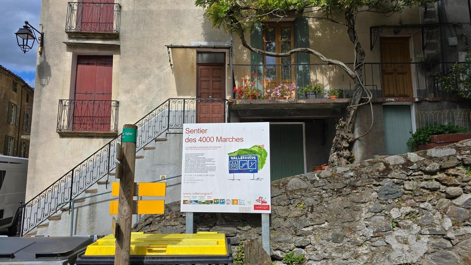
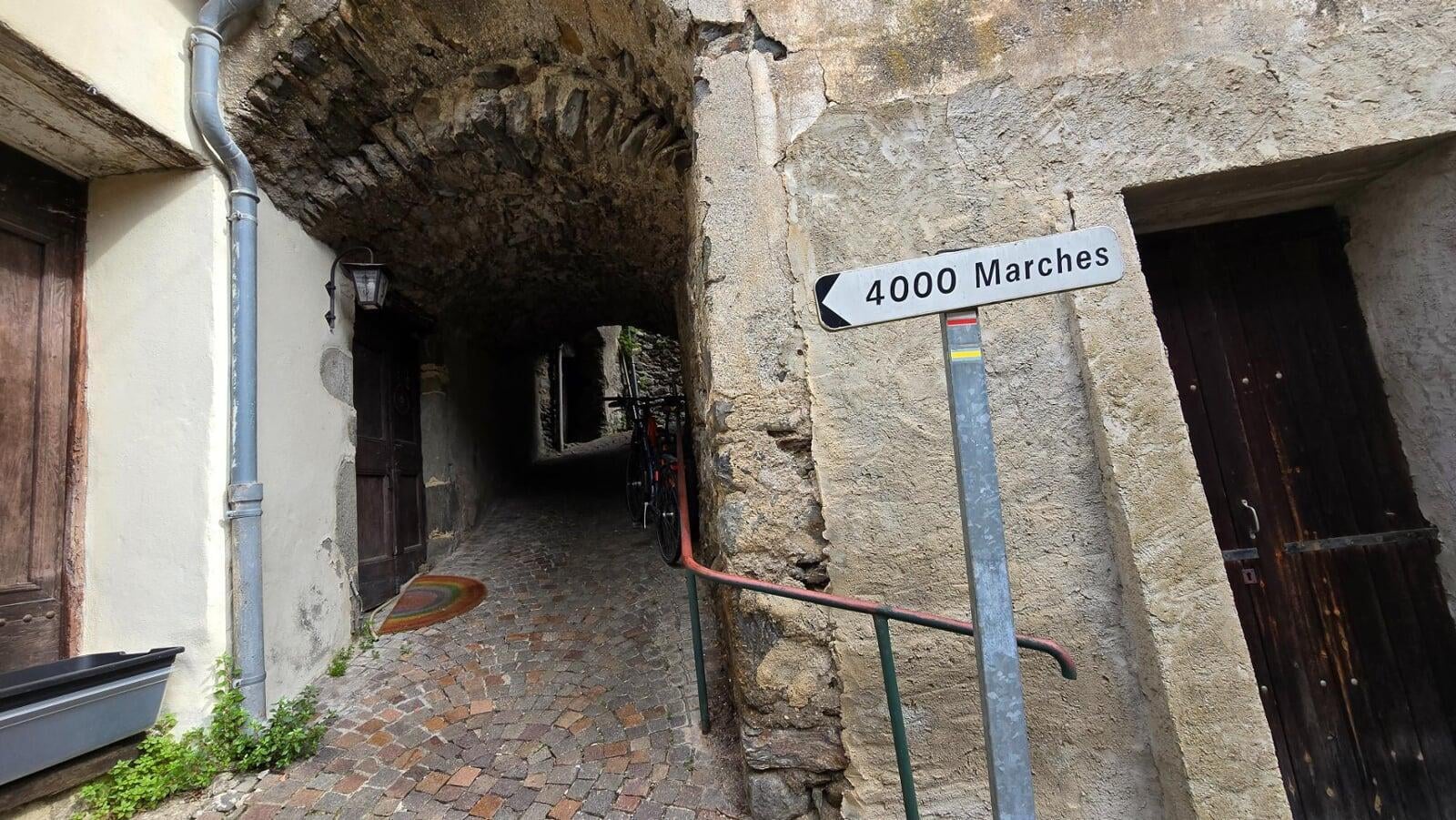
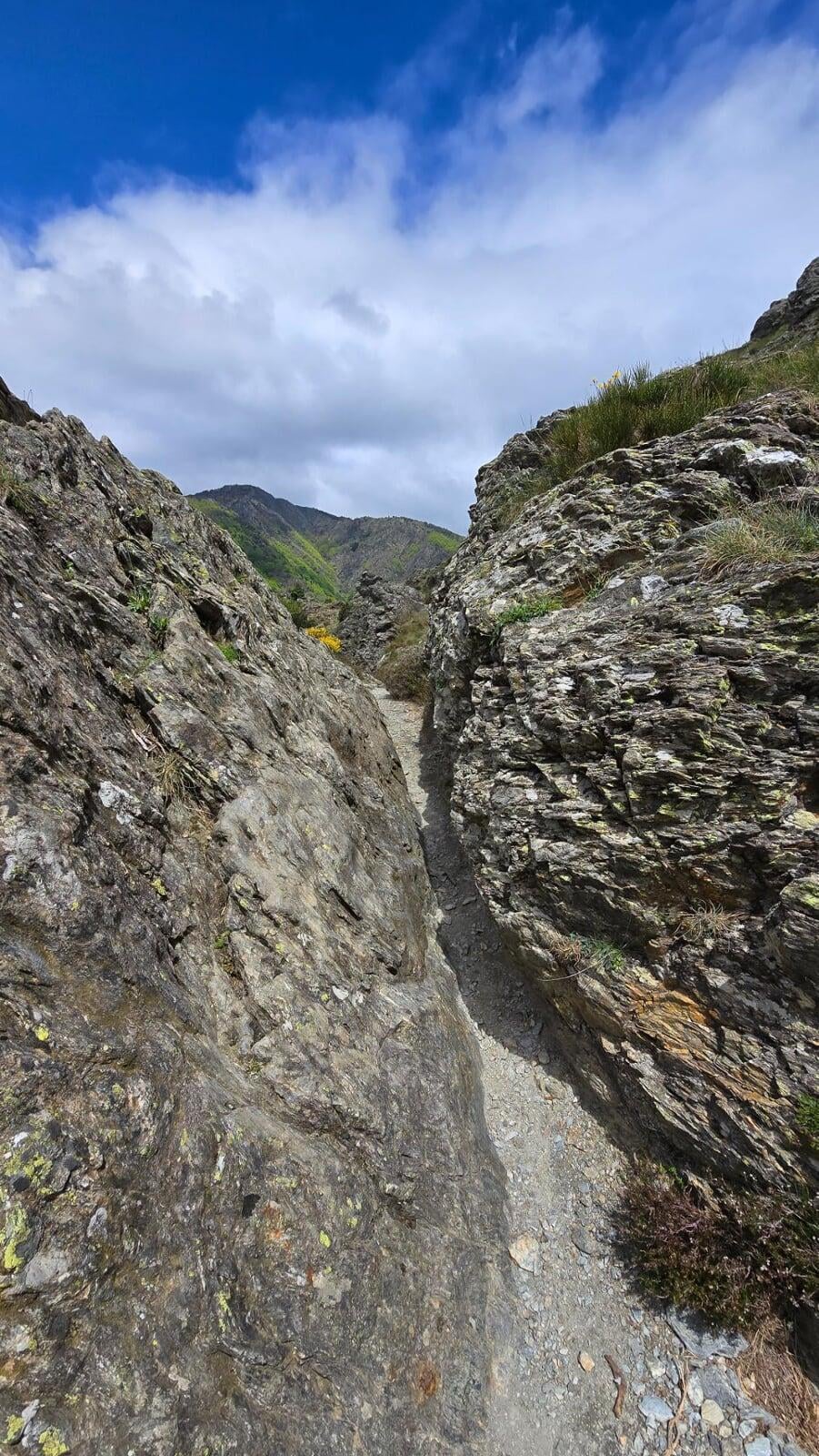
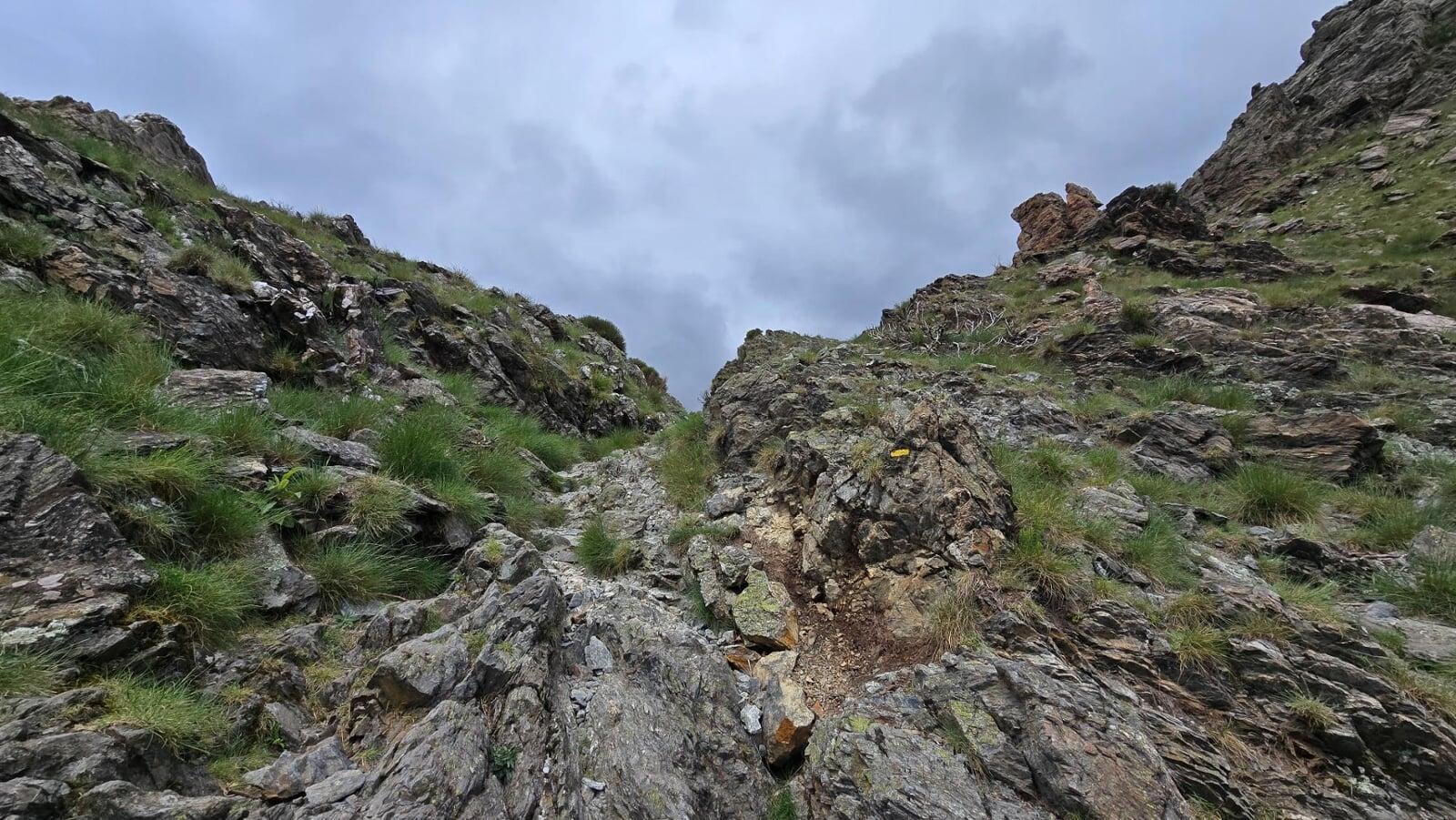
So why is it called “the 4000 steps”? The name comes from the first steps of the Valleraugue church square, the starting point of the hike, and the rocky passage that follows, the old-timers said you could almost count 4000 steps to the summit. Don’t worry, it’s not a continuous staircase. But the ascent is no less muscular, and your calves take a beating on the final sections.
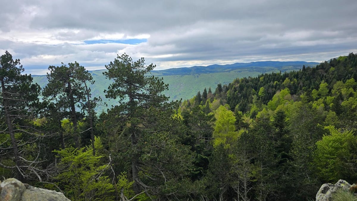
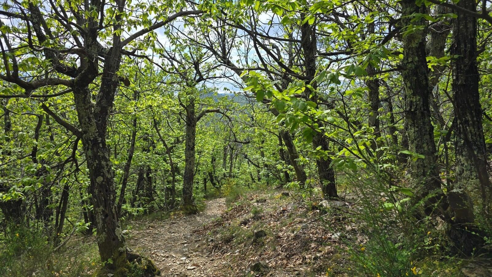
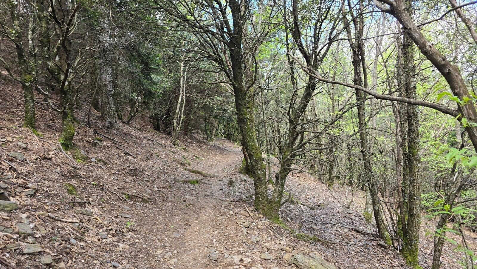
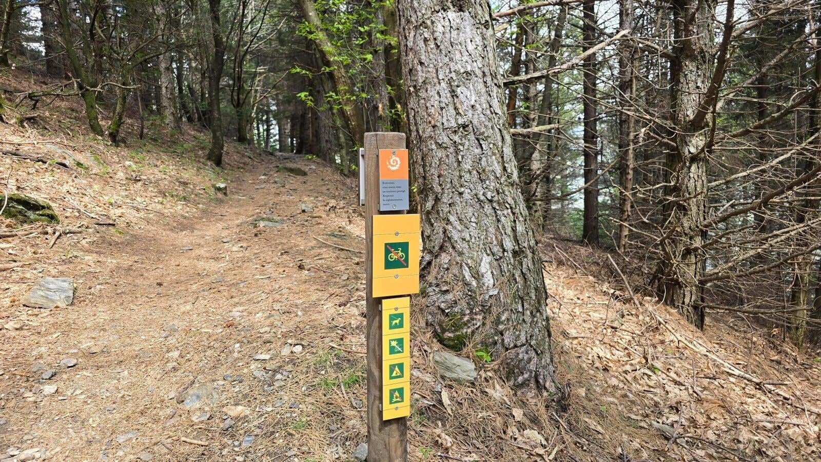
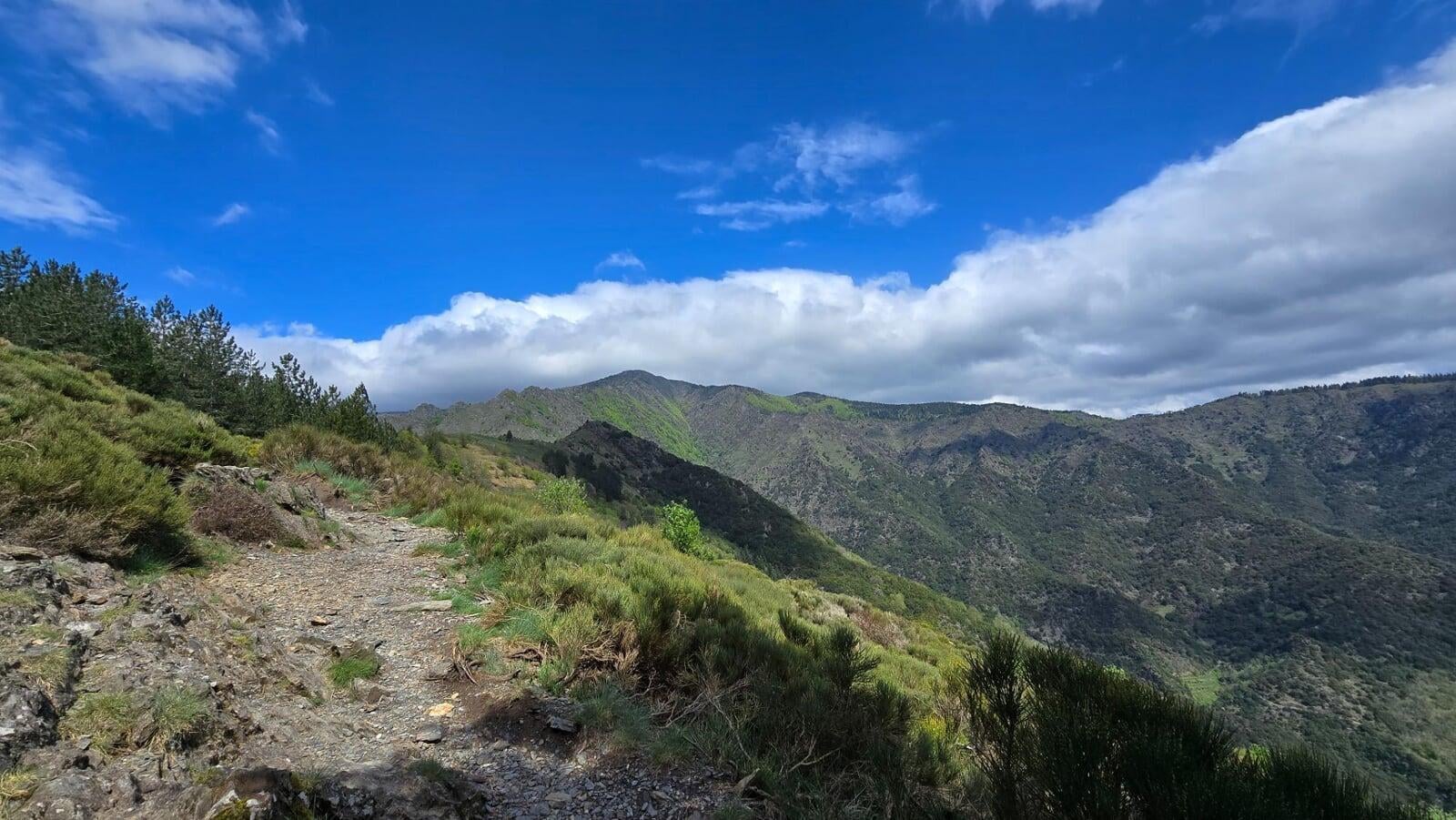
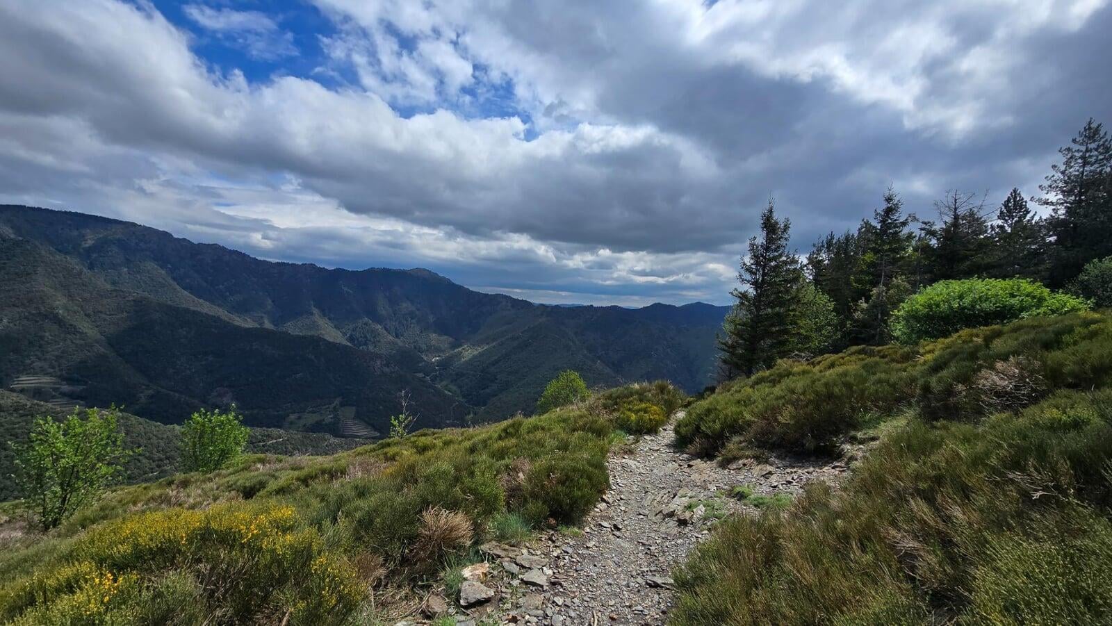
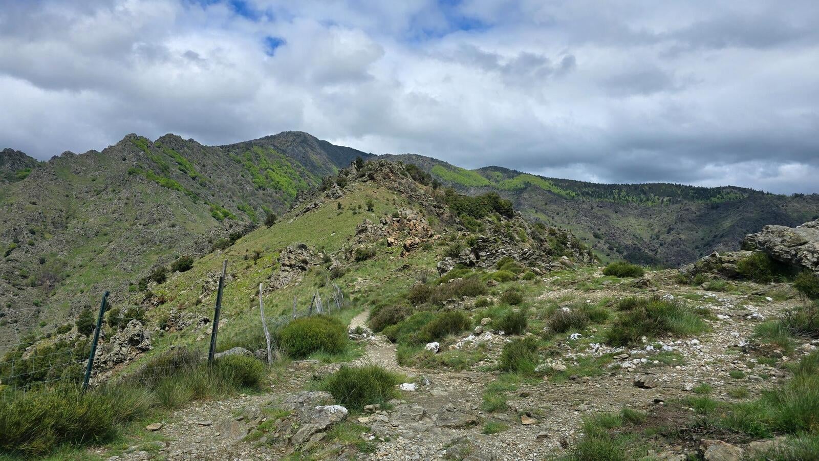
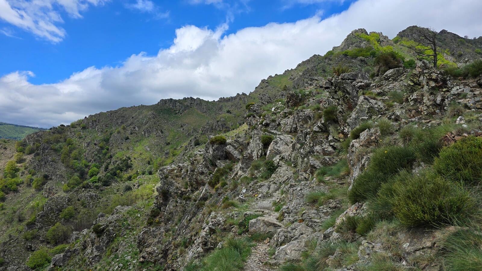
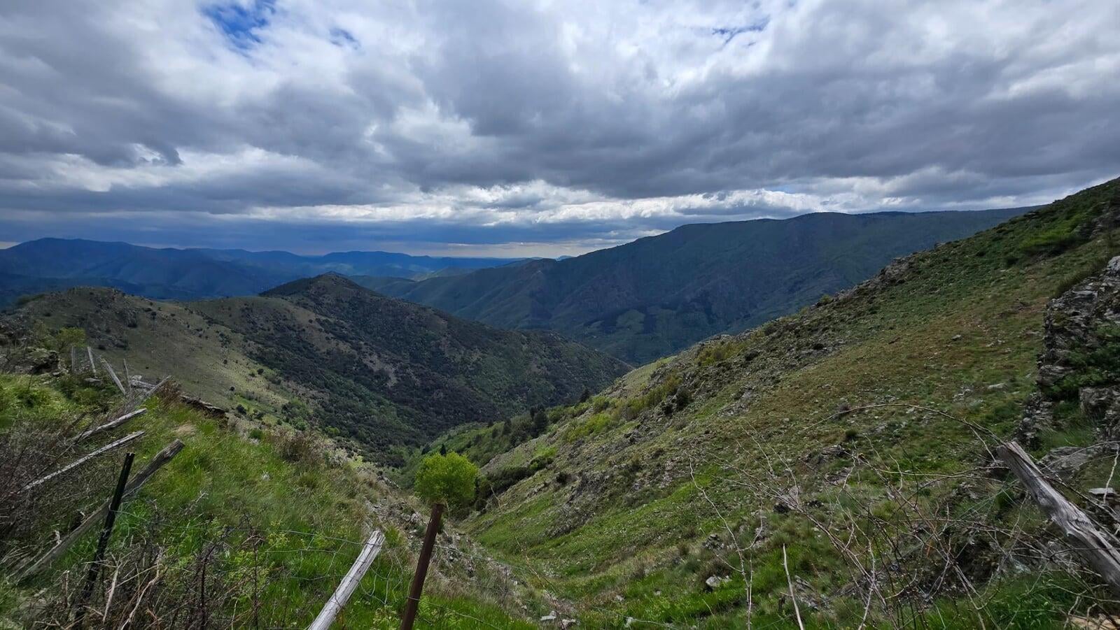
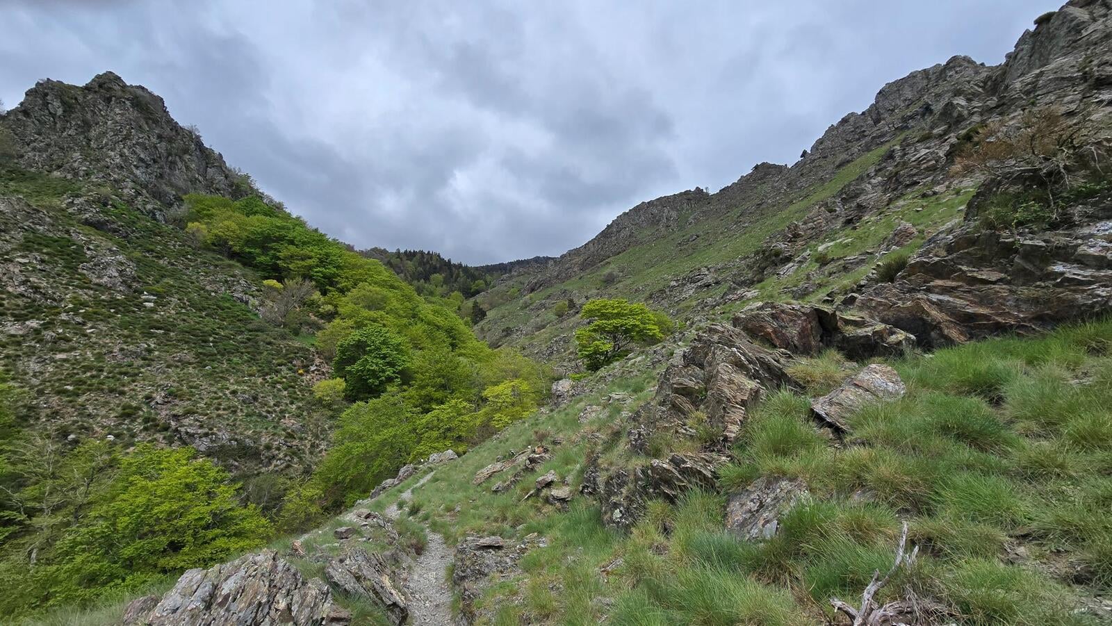
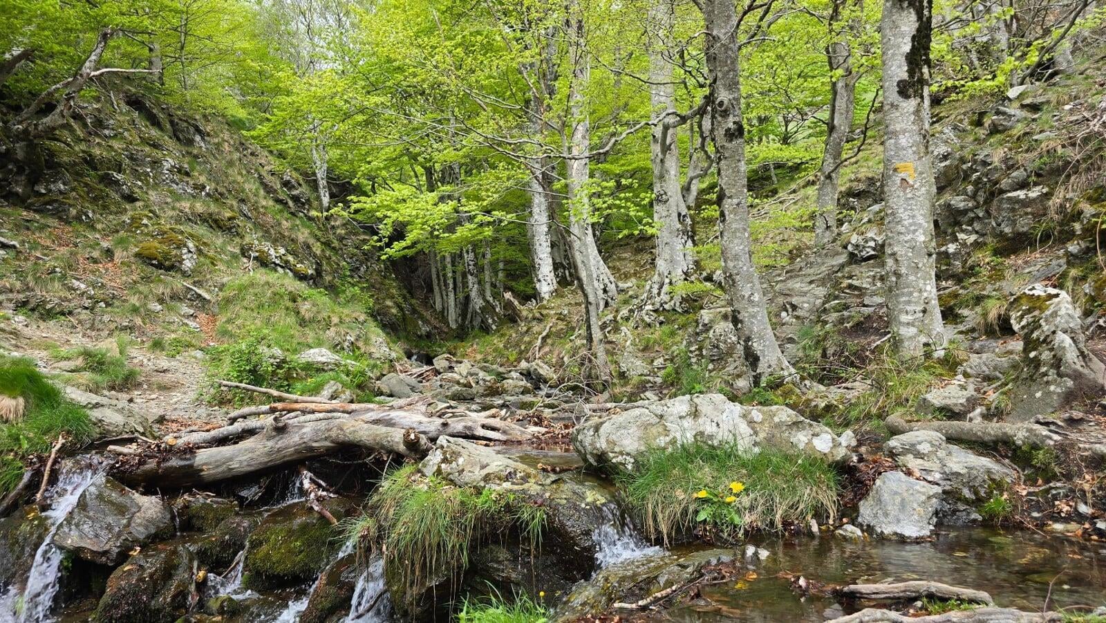
You first cross the Cevennes chestnut grove, typical of this Mediterranean slope. The higher you climb, the more the vegetation changes: beech, pine, then the high-altitude heathlands swept by wind. The trail is well waymarked, the slope steady but continuous, no slacking the pace.
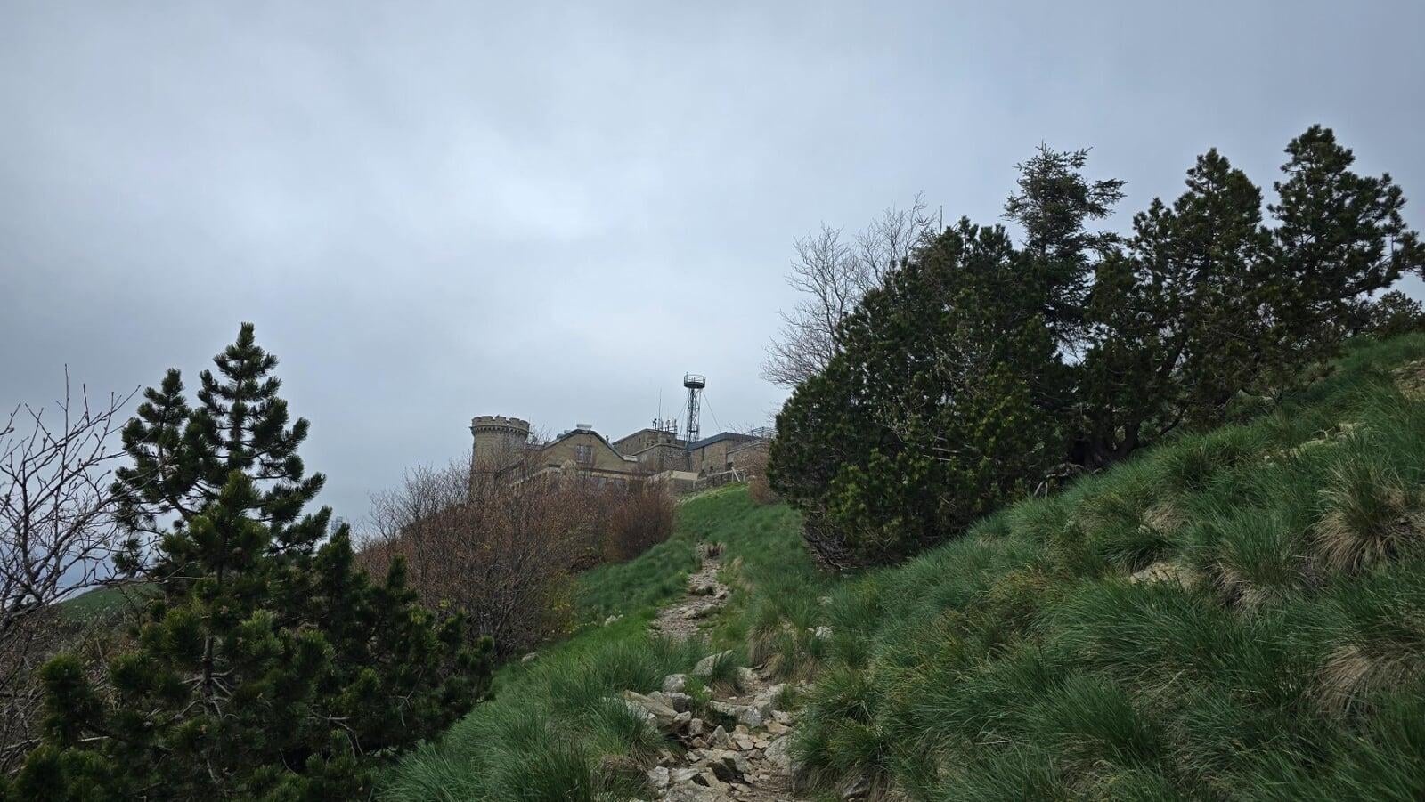
The Observatory, Cevennes pride since 1894

The arrival at the summit is marked by a monument you don’t forget: the Mont Aigoual Observatory, built between 1887 and 1894 under the initiative of forestry engineer Georges Fabre. With its stone turrets, its small medieval fort look, and its measurement tower at the top, it stands out in the Cevennes landscape.
It is the last inhabited mountain weather station in France. Meteo-France still maintains a permanent presence there, wind, rain, fog, snow, every climatic extreme is measured continuously. The site is open to the public: exhibits, educational panels on Cevennes weather, and an exceptional panorama on clear days.
Panorama, Alps, Pyrenees, Mediterranean

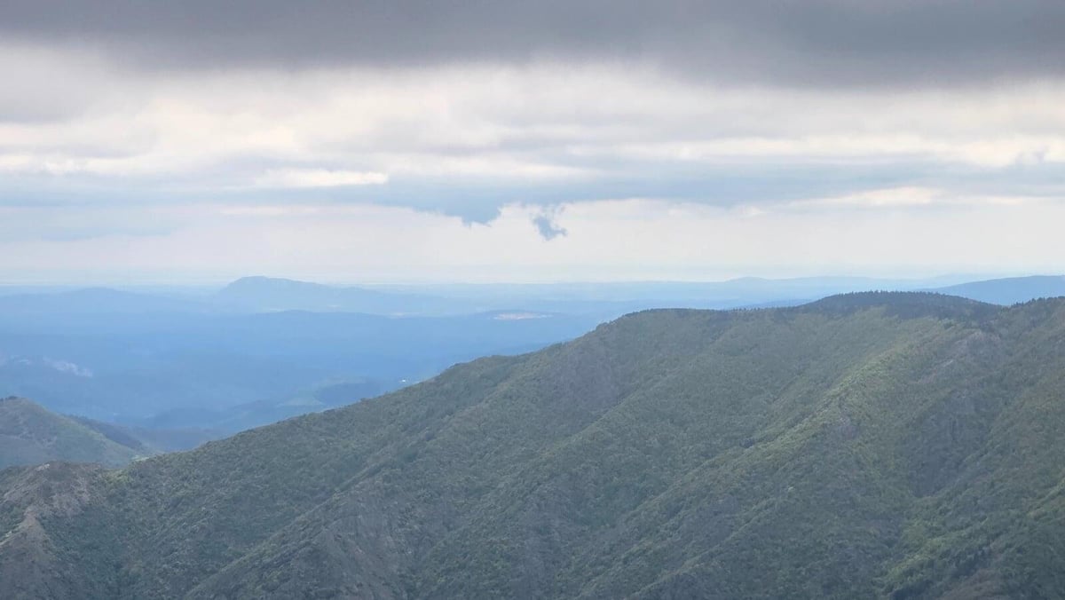
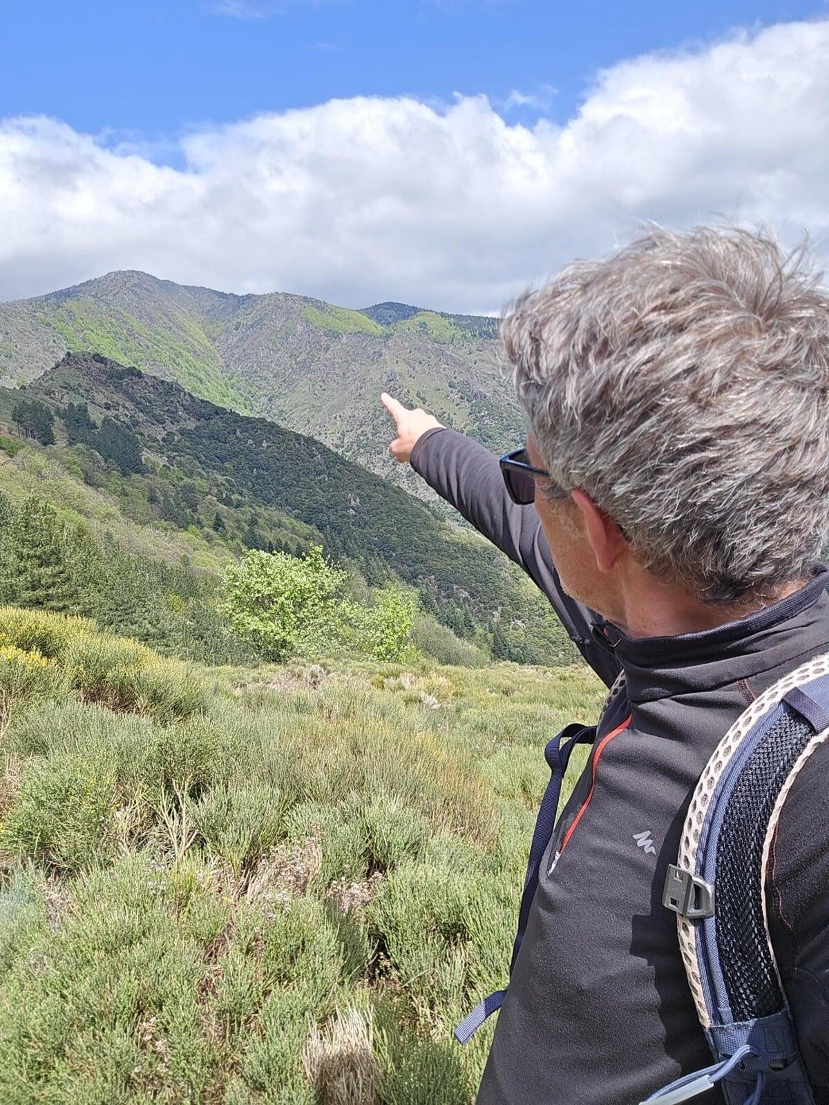
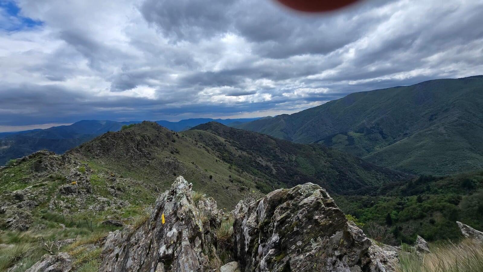
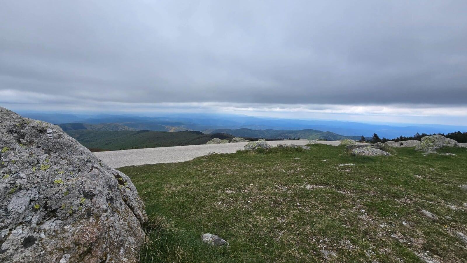
The summit reward, on a clear day, is mind-blowing: you see the Alps to the east, the Pyrenees to the south-west, and the Mediterranean due south. A panorama no other summit in south-eastern France offers with such amplitude. Mont Aigoual is the balcony of three worlds: alpine, Pyrenean, Mediterranean.
Of course, you need the weather to cooperate. The Cevennes are known for their stubborn clouds and mists that cling to the summit. That day, we had a gray sky and a partial panorama, the Mediterranean just visible to the south, the Alps sleeping under the clouds. But even so, the view over the Cevennes ridges stretching out of sight was already worth the trip.
Before you go
Count on about 4 hours up, 3 down. A real day of walking, not a stroll, you need to leave in the morning, especially in summer (heat plus frequent afternoon storms on the Aigoual).
Seasonal shuttles are possible from the summit to avoid walking back down, check with the Cevennes Mont Aigoual tourist office. Depending on the season, a bus service lets you get back to Valleraugue without redoing the 4000 steps in the other direction (ideal option if the thighs gave it all on the way up).
Water: fill up at the start. Few or no reliable water points on the trail. No solar panels or unstaffed huts on the route, it’s a “dry” hike.
To go further
- Understanding FFRandonnee E/T/R ratings
- Choosing the right hiking boots
- Mont Aigoual is part of the Cevennes, within the Cevennes National Park. The Mont Aigoual Observatory is listed as a historic monument.
Practical info
Starting point
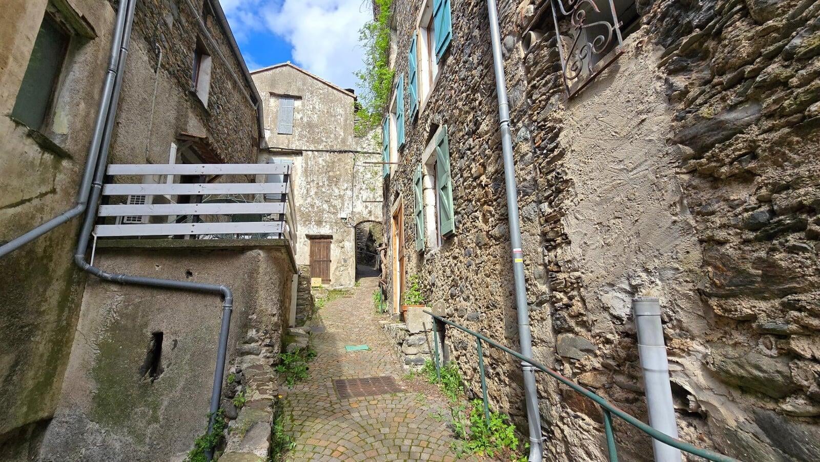
From Ales or Nimes, reach Valleraugue via the D986 (Herault Valley) or the D19 from Le Vigan. The village runs east to west, several parking lots available (including one on the central square). The 4000 steps trail starts at the church square (359 m), clear signage, yellow waymarking.
GPX track
Import the GPS track into your watch or app (Garmin Connect, Komoot, Gaia GPS, Iphigenie...).
Sign in to downloadTourist office (current conditions)
Office de Tourisme Cevennes Mont Aigoual
Place du Quai, 30570 Val-d'Aigoual (Valleraugue)
Garmin track
Gallery
22 photos, click to enlarge


Weather, Valleraugue
Conditions and forecasts for the itinerary
In the mountains, conditions change fast. A thunderstorm can become dangerous, fog disorients, residual snow slows every step. Before leaving, check the bulletins, plan a stable weather window, and when in doubt, call the tourist office or the local guides office.
Learn to read mountain weather →Questions fréquentes
Why is it called the 4000 steps?
+
The name comes from the first steps of the Valleraugue church square, the starting point of the hike, and the rocky passage that follows. The old-timers said you could almost count 4000 steps to the summit. Don't worry, it isn't a continuous staircase, but the climb is still a serious workout.
How hard is it really?
+
Physically demanding, 1300 m of gain over 12 km of climbing, about 4 hours of sustained effort. The trail is well waymarked and has no technical section, so it's accessible to regular hikers who accept the effort. Trekking poles are nearly mandatory for the descent.
When should I go for the best panorama?
+
From April to October. On a clear day you can see the Alps, the Pyrenees and the Mediterranean from the summit, but perfectly clear days are rare on the Aigoual, known for its persistent clouds. Early morning in summer and after a cold front are the best times.
How do you get back down?
+
Two options: on foot by the same path (4-5 hours of descent, tough on the thighs) or seasonal shuttles from the summit (check with the Cevennes Mont Aigoual tourist office). Count 20 km round trip on foot.
Can you visit the Observatory?
+
Yes, the Mont Aigoual Observatory (built in 1894) is open to the public, the last inhabited mountain weather station in France. Exhibits on Cevennes weather, monitoring station still active. Hours vary by season, check in advance.
Does the GPX cover the whole hike?
+
The GPX provided here covers only the climb (12 km, 1300 m gain). The return is via the same path or shuttle depending on your preference, the outbound track is enough to navigate both ways.