
In the heart of the Dévoluy, a gentle loop to the Col des Aiguilles (about 2000 m). 12.6 km, 774 m of ascent, a pine plateau, a mineral valley, lingering snow patches and a pass framed by limestone spires. Perfect for a first hike, with an off-trail variant on the way up for the curious.
Second day of my trip in the Dévoluy, and this time I was not alone. I was with Thibault, a friend I have climbed and done via ferrata with for two years, but who wanted to try hiking. No way I was taking him straight onto a big, steep, committing route: I wanted something gentler, almost touristy, for a real first time.
On top of that, there was still a lot of snow at altitude, which made the higher summits a bit risky. So I looked at what was around us and came across the Col des Aiguilles: an objective at about 2000 m, without excessive ascent, where the snow patches thin out. Perfect for the situation.
A hike for a first time
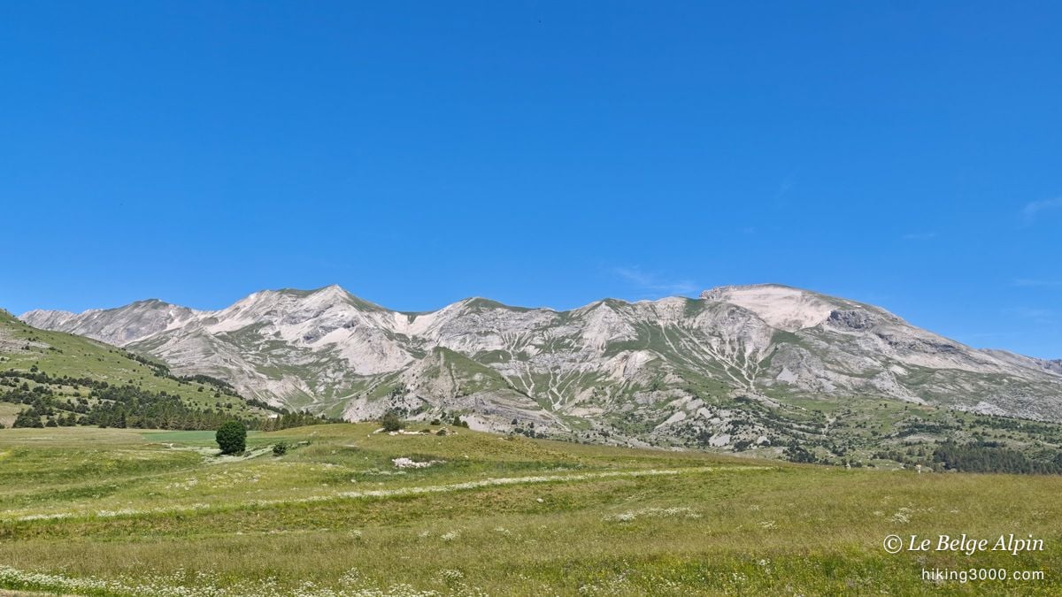
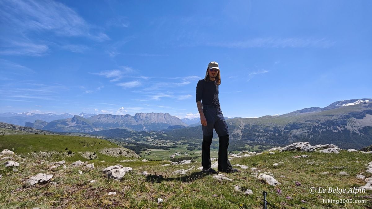
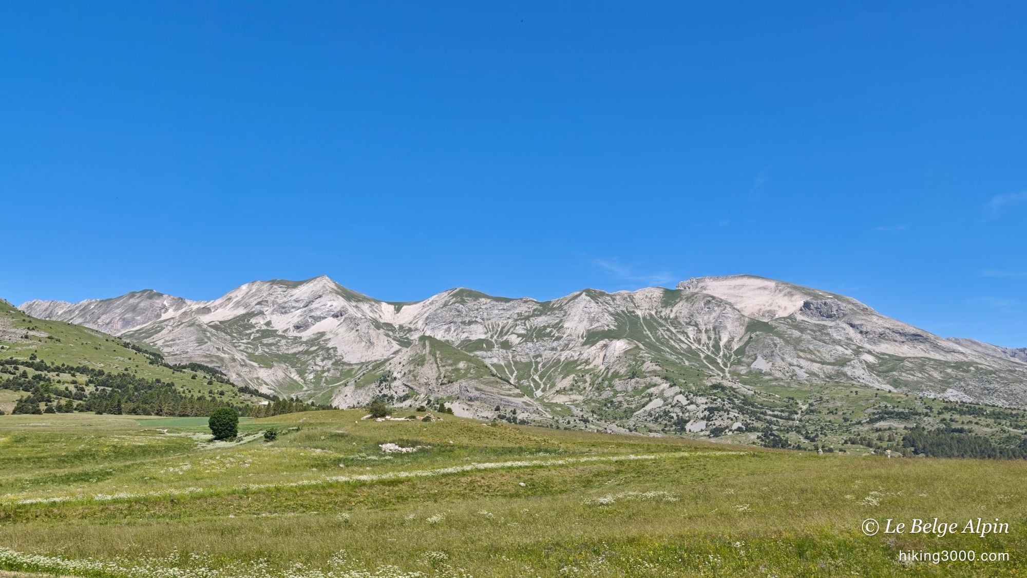
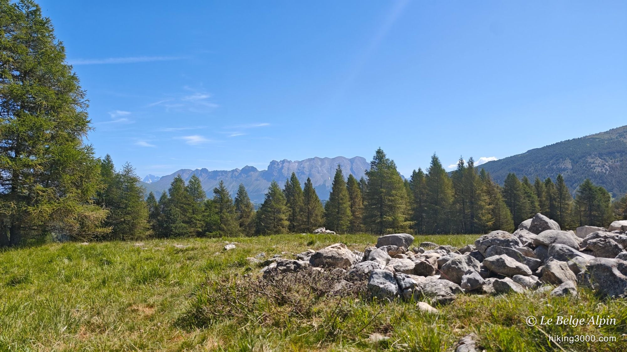
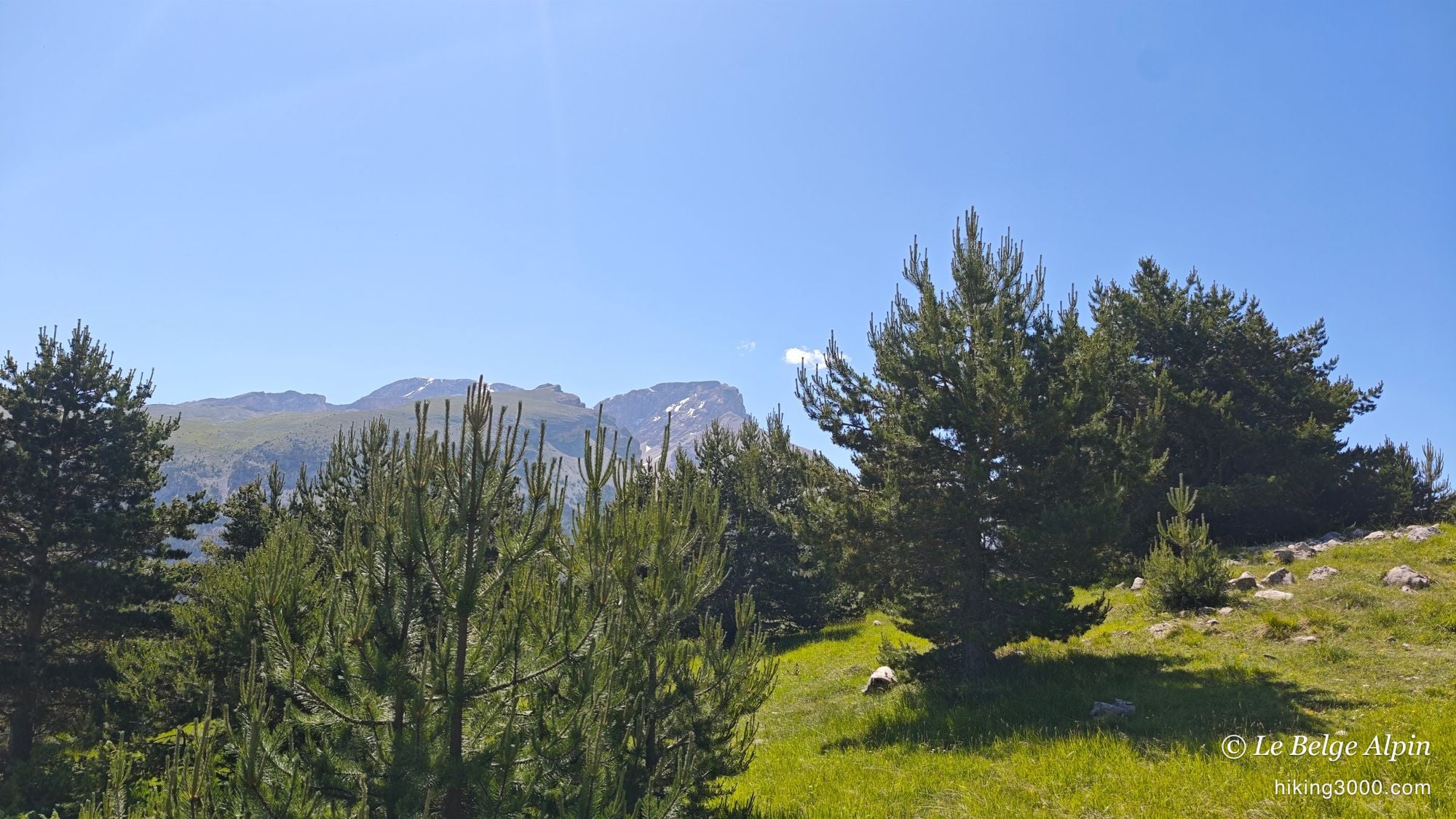
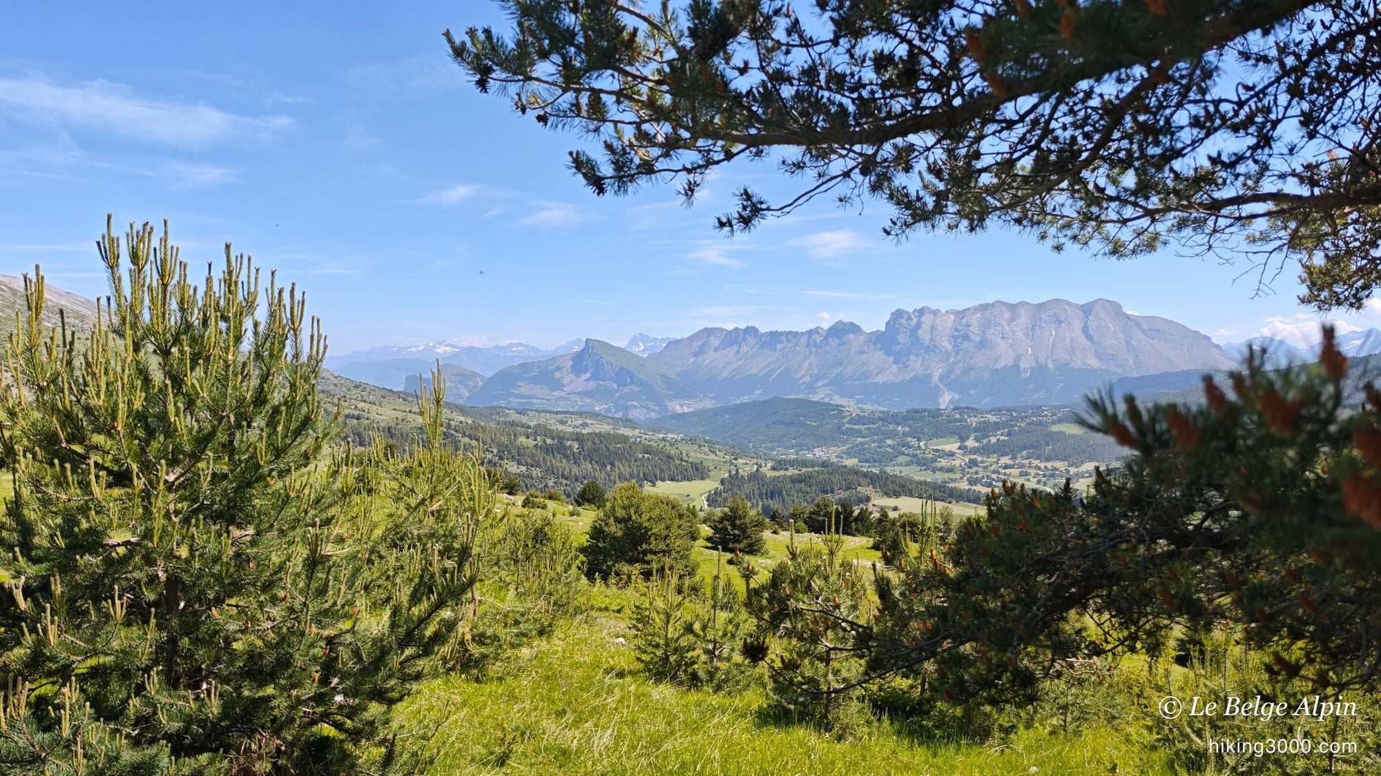
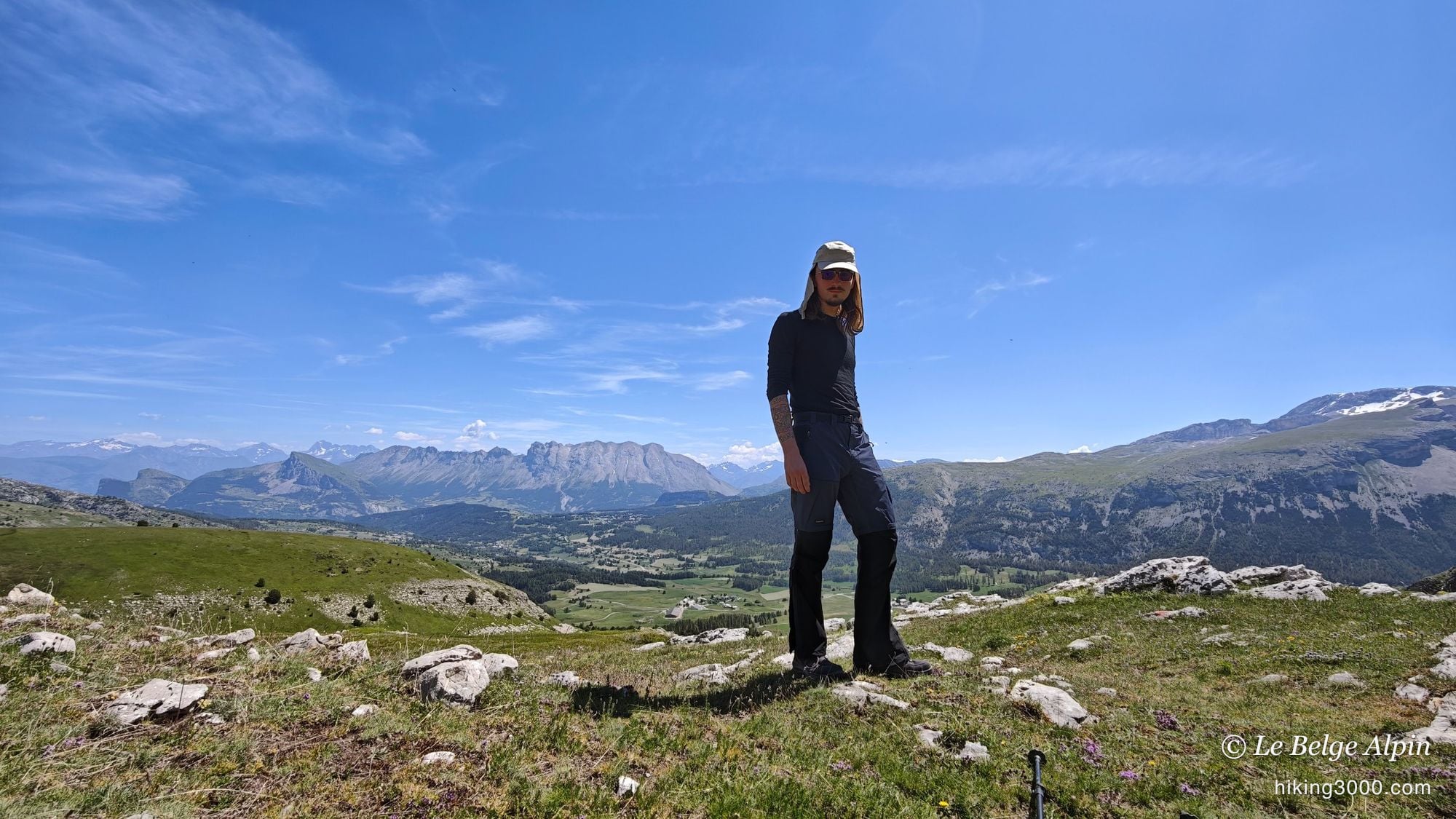
The start is from the Dévoluy plateau, that slightly set-apart corner of the Hautes-Alpes between Gap and the Vercors, with its long limestone bars closing the horizon. You first walk across a pine plateau, on a gentle slope, the kind of terrain that builds confidence when you are new to hiking.
The Dévoluy has that rare quality: you are quickly on your own. From the first slopes, you no longer meet anyone, and the mineral scenery takes over.
An off-trail loop on the way up
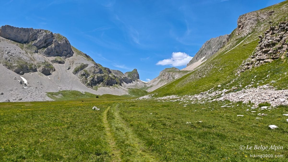
Rather than going up and down the same way, I improvised a loop to the left on the ascent. It paid off for the sense of discovery: it is clearly a corner where nobody ever goes. The path was very faintly marked, so much so that we did a good part off-trail, navigating by GPS, spotting the odd isolated cairn.
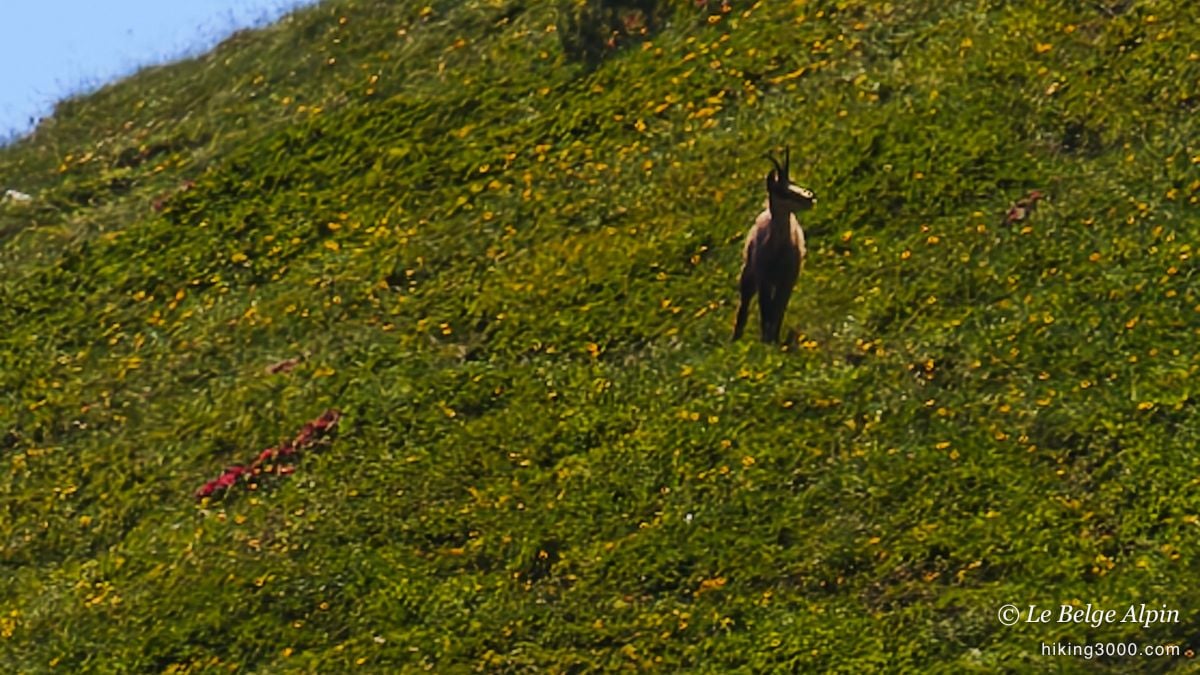
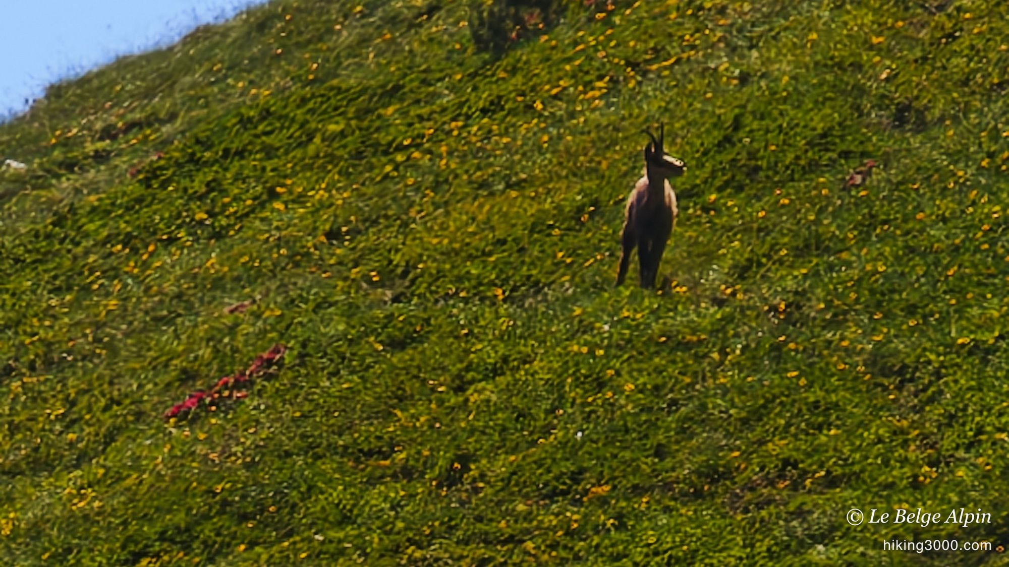
That is where we got our only encounter of the day: a chamois, standing on a flowery slope, watching us a moment before bolting. These forgotten passages have their charm, but to be clear: this is not the route to recommend for a first time. The classic trail follows easily.
Toward the pass, the snow lingers
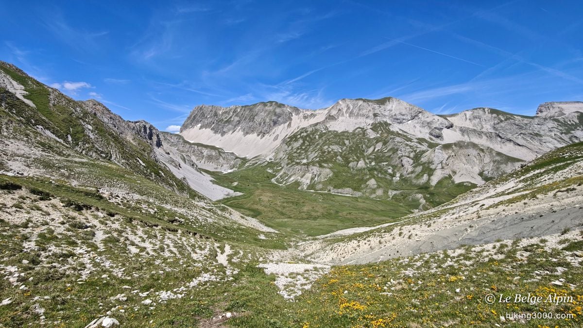
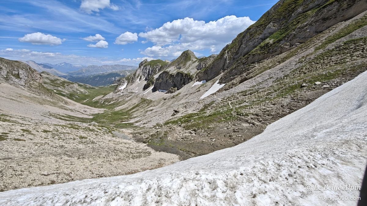
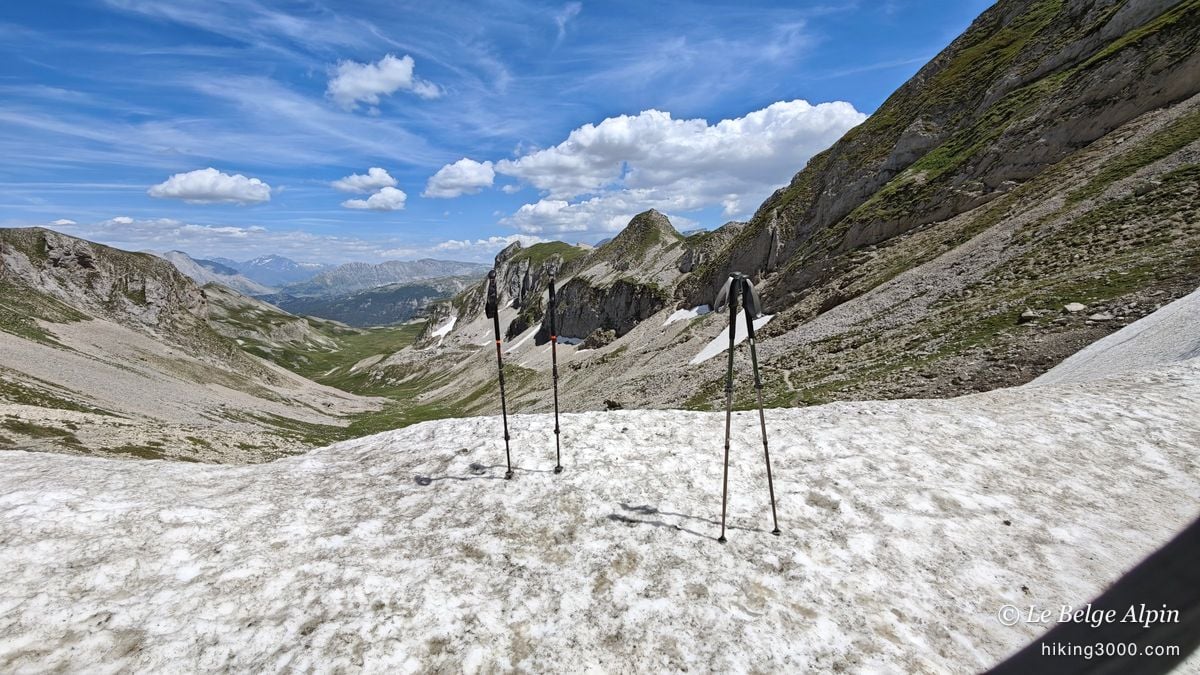
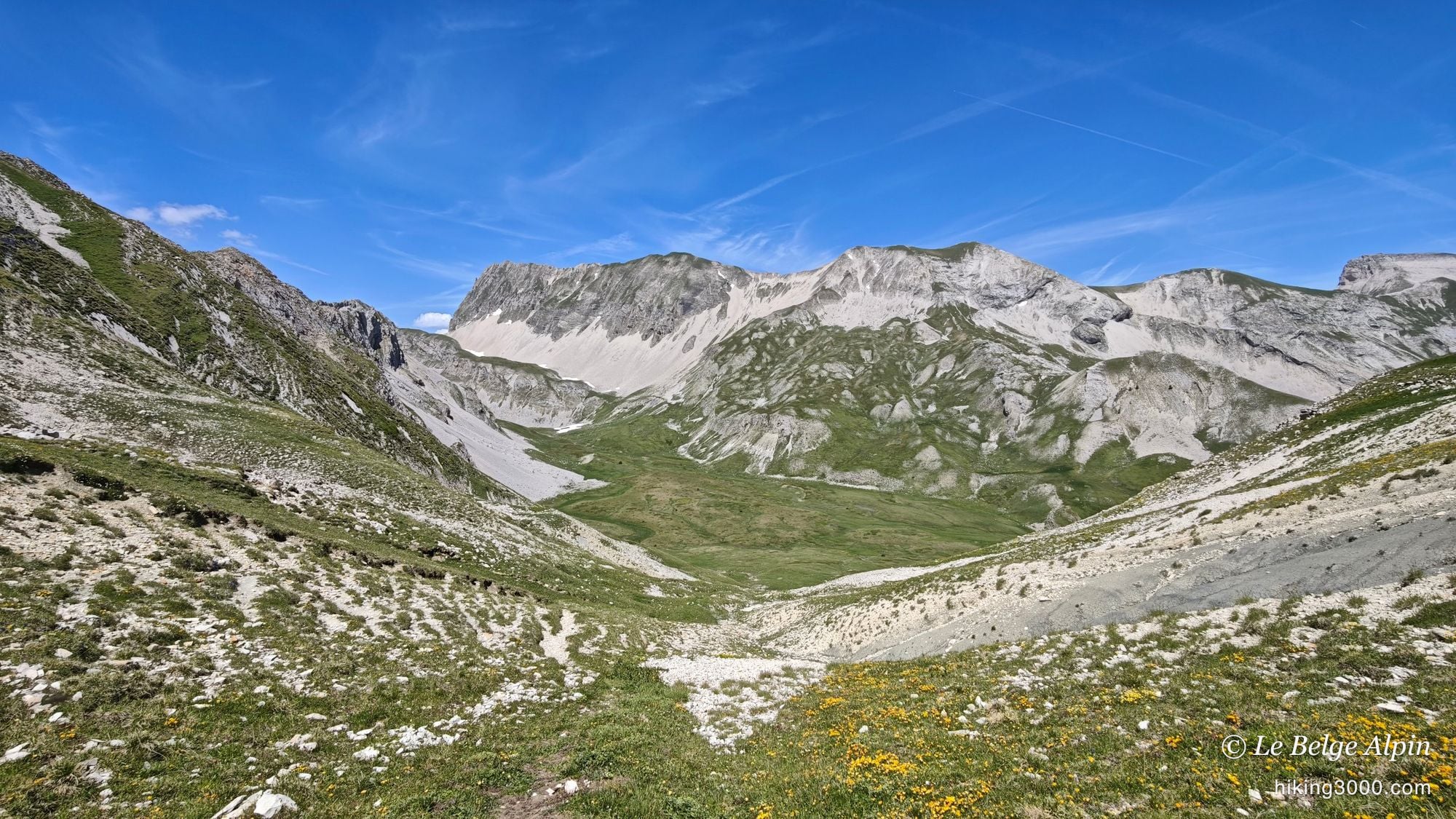
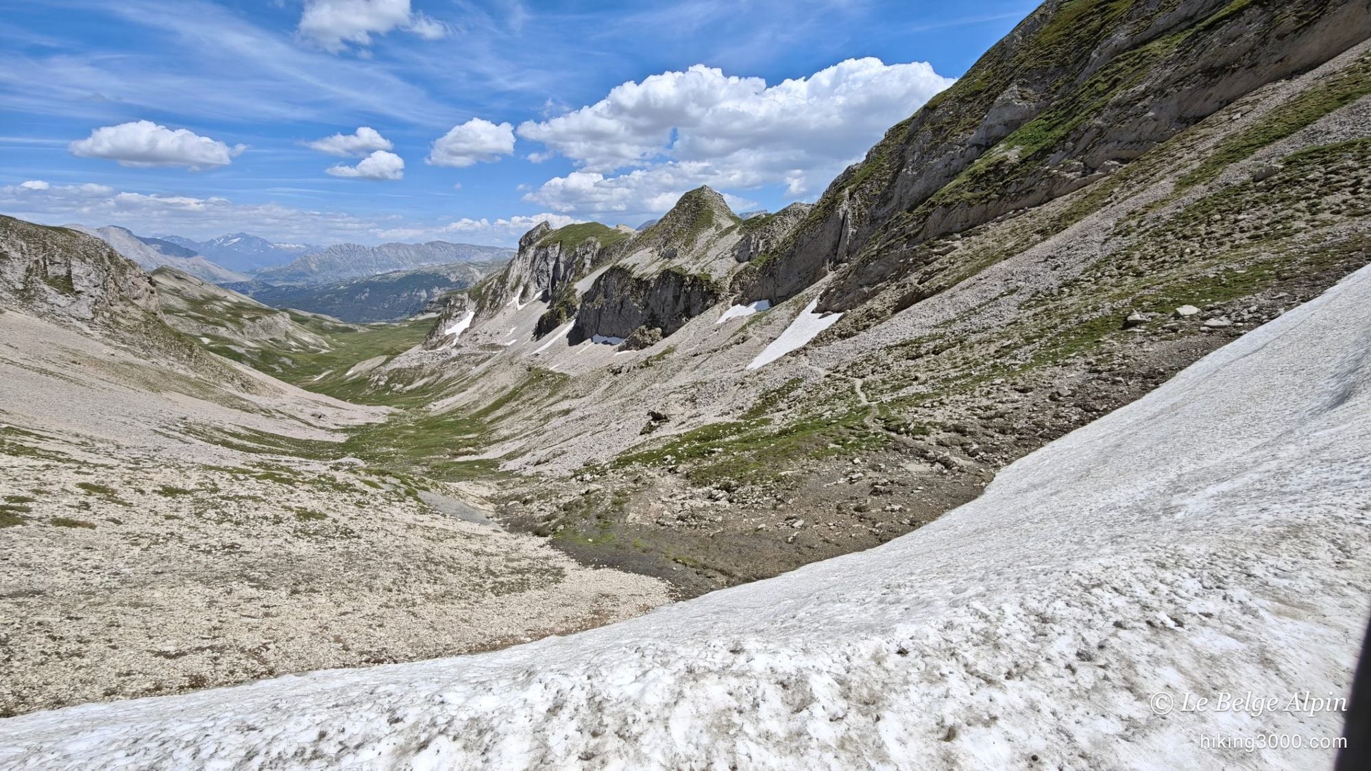
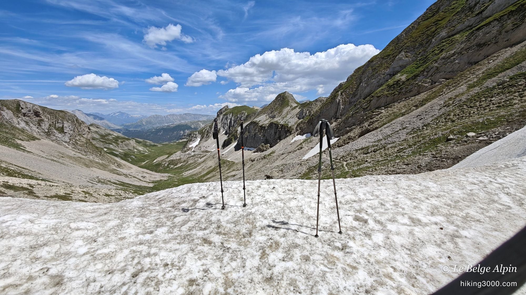
As you near the pass, you enter a superb mineral valley, ringed by walls and steep slopes. In mid-June, the snow patches were still well present, white against the soft green of the grass and the grey of the limestone. Nothing nasty at this altitude, but enough to remind you the mountains are just out of winter.
That is also what fully justified our modest objective: aiming for 2000 m rather than the high summits still under snow was the right call for the day.
At the Col des Aiguilles
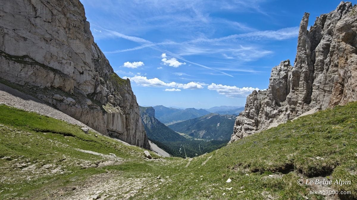
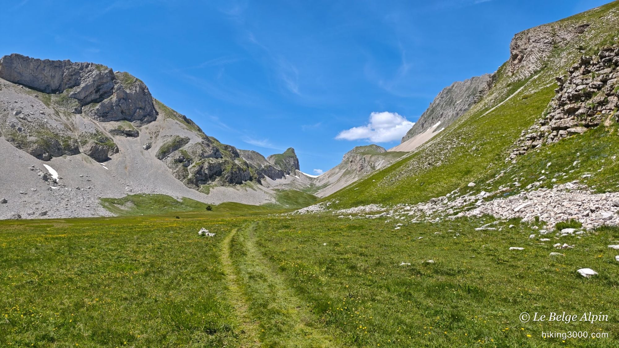
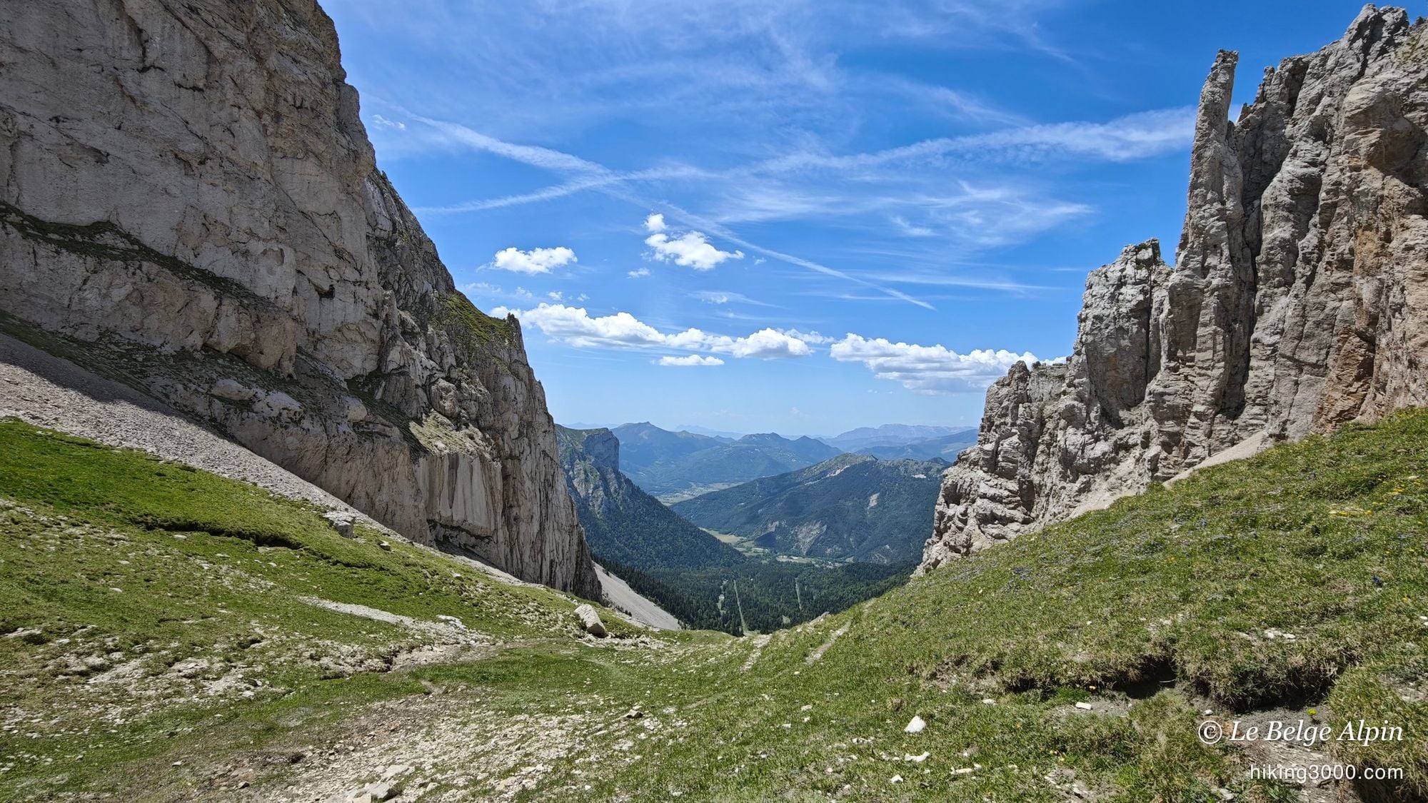
The Col des Aiguilles lives up to its name: a notch framed by walls and limestone spires, with the valley opening on the far side. You drop the pack, catch your breath, and look. For a first hike, Thibault was spoiled: a proper mountain setting, without having to fight to reach it.
We both did well, feet a little battered by the descent, but with that daft grin you get coming down from a good day. Not a big outing, no. But a fine little hike, and above all a first that I hope gave him the taste to come back.
Practical info
12.6 km, 774 m of ascent, pass at about 2000 m, plan around 4h at an easy pace (a bit more if you try the off-trail loop). Solid hiking shoes, poles handy on the slopes and snow patches. No technical difficulty on the classic out-and-back.
In mid-June, snow patches lingered near the pass: nothing alpine, but enough to wet your shoes. For conditions and residual snow, the Dévoluy Tourist Office can fill you in. And if you are starting out, treat yourself: this is exactly the kind of outing that makes you want to keep going.
Practical info
Starting point
From Gap, reach the Dévoluy plateau via Saint-Étienne-en-Dévoluy, then the hamlet of La Cluse. Park by the track around 1444 m. An easy mountain road, fine for any car.
GPX track
Import the GPS track into your watch or app (Garmin Connect, Komoot, Gaia GPS, Iphigenie...).
Sign in to downloadGarmin track
Partial GPS track
The track is a loop. On the way up I improvised an off-trail passage to the left, very faintly marked (a few cairns, GPS navigation). The return follows the classic route. To keep it simple, the standard out-and-back is plenty.
Gallery
11 photos, click to enlarge
Video
A few shots from the outing
Weather, Le Dévoluy
Conditions and forecasts for the itinerary
In the mountains, conditions change fast. A thunderstorm can become dangerous, fog disorients, residual snow slows every step. Before leaving, check the bulletins, plan a stable weather window, and when in doubt, call the tourist office or the local guides office.
Learn to read mountain weather →Questions fréquentes
Is this hike suitable for a beginner?
+
Yes, that is exactly why I picked it for my friend's first hike. The ascent stays reasonable (around 770 m) and the pass tops out at about 2000 m, which limits snow trouble in early summer. Done as an out-and-back on the trail, it is very approachable.
Do you have to do the off-trail loop?
+
No. I improvised a variant to the left on the way up, off-trail and very faintly marked (GPS navigation, a few cairns). It was fun but not necessary. The classic out-and-back trail is simpler and just as pretty.
Is there still snow in June?
+
In mid-June, snow patches were still well present in the valleys and near the pass. Nothing impassable at this altitude, but one more reason to aim for a modest objective like this rather than the higher summits of the massif, still under snow.